100 Florida Trails®
Top FL Multi-use Bike Trails
Map Links & Photos Galore
Coast-to-Coast Updates
You are here >
Home >
FL Eco-biking >
Orlando Wetlands
Latest update: October 2023
Orlando Wetlands... Christmas, Florida
Large Reclaimed Water Area - Bike or Hike with Many Birds and Alligators
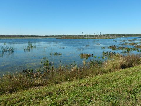
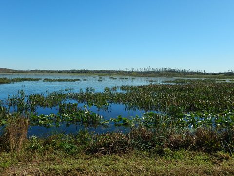
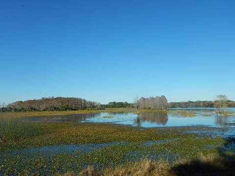
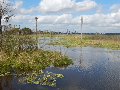
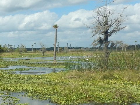
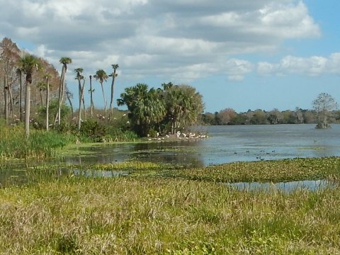
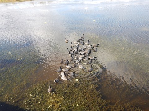
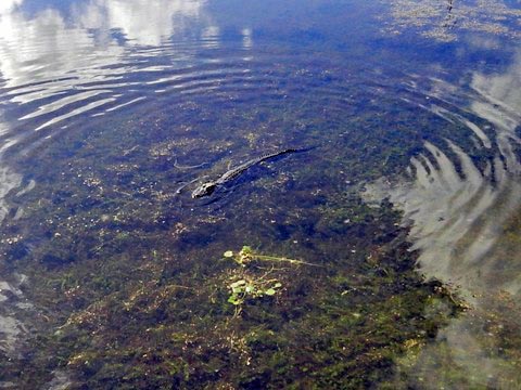
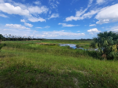
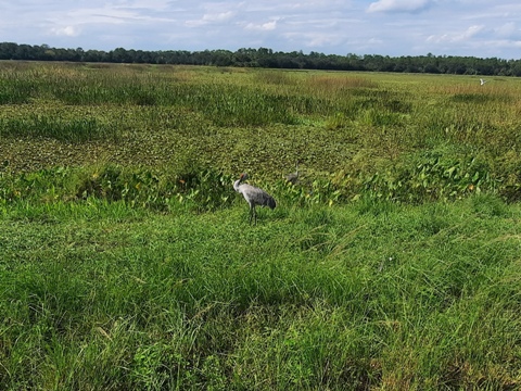
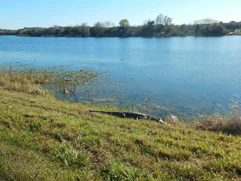
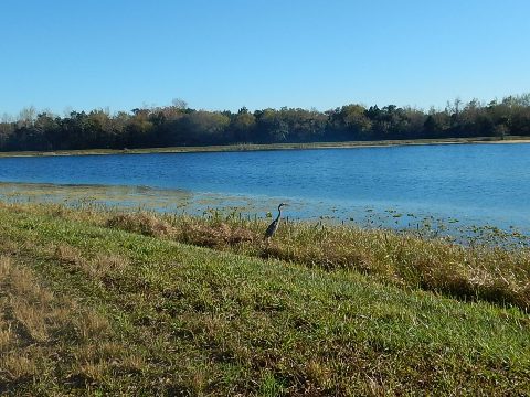
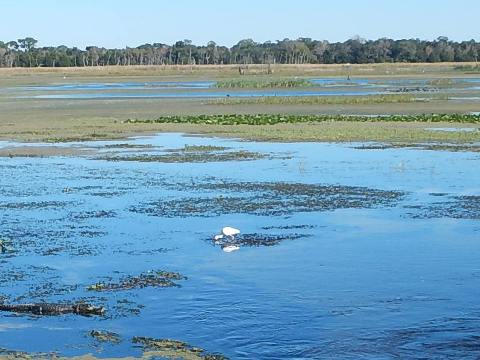
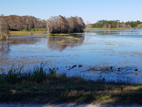
We were wowed, had no idea this gem existed just outside Orlando, and yes, there really is a place named Christmas, FL! The Orlando Wetlands is a 1,650-acre, man-made wetland created to treat reclaimed water as it flows to the St. Johns River (see more below). The added result is an oasis filled with wildlife - a wonderful destination for photography, walking, and biking with unlimited nature and wildlife viewing - over 200 bird species identified, plus otter, foxes, deer, turtles, snakes, and of course alligators. Bicycling (non-motorized) is allowed on the berm roads, best for fat tires. There's no shade, so bring water and sunscreen. (Map link and photos below.)
Location: Wheeler Rd., Christmas, FL (Orange County)
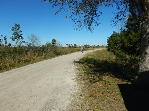
Mileage: 18 miles of berm roads to ride, go as far as you want
Surface: Packed dirt, gravel, sand, grass
Nearby points of interest: Fort Christmas Historical Park
Bike Shops/Rentals: N/A
Support and Advocacy:
Eco-biking and Hiking at Orlando Wetlands... Comments and Photos
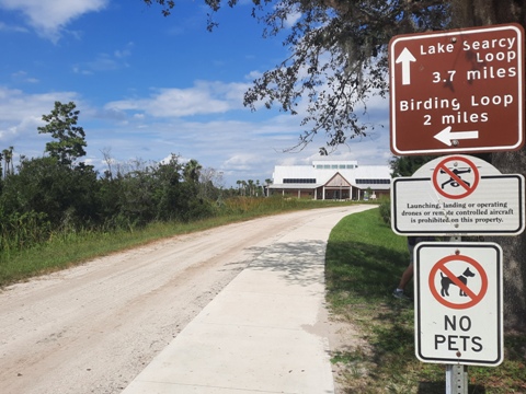
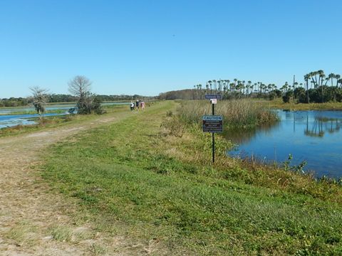
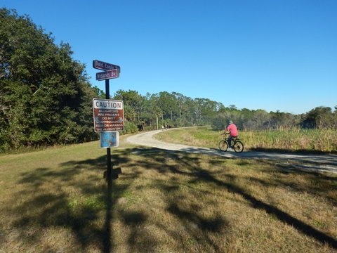
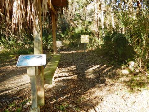
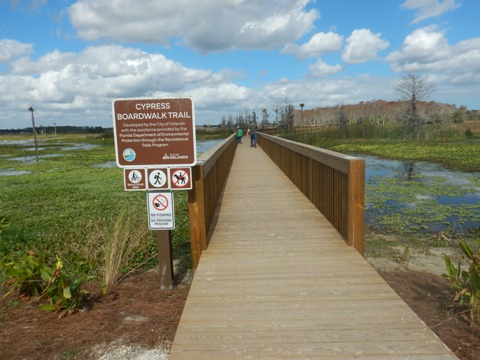
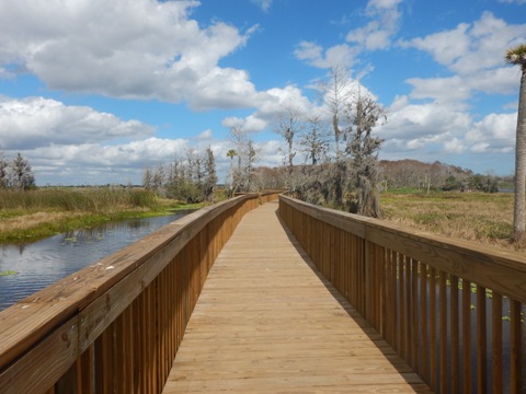
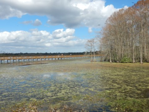
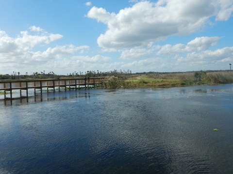
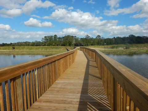
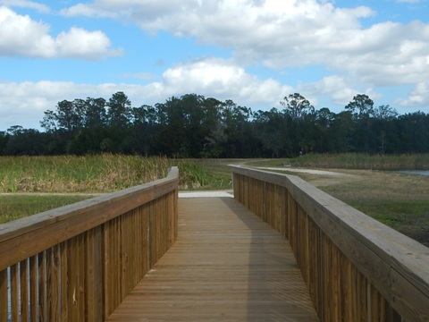
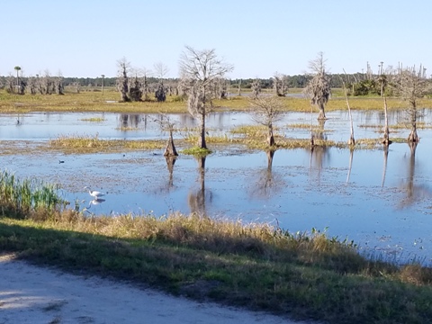
The berm roads are given wildlife names, and "street signs" let you know where you are - pick up a map at the Visitor Pavilion at the trailhead. You can ride the mapped 2-mile Birding Loop, or the 3-mile Lake Searcy Loop, or make up your own route as far as you'd like to go. Some trails and the Perimeter Trail are hiking only, so watch the signs. The half-mile Cypress Boardwalk is walking only, bikes may be walked across.
We randomly rode along the berms, about 7 miles.
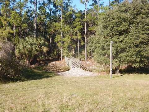
Trailhead
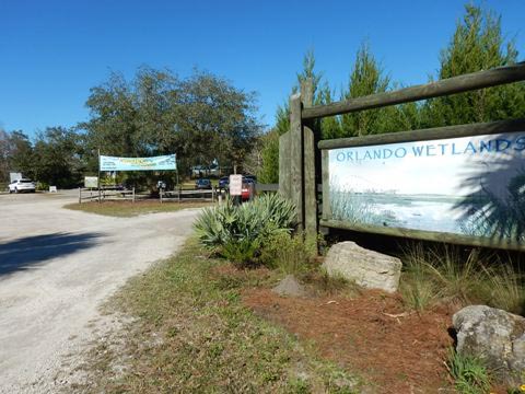
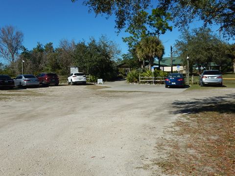
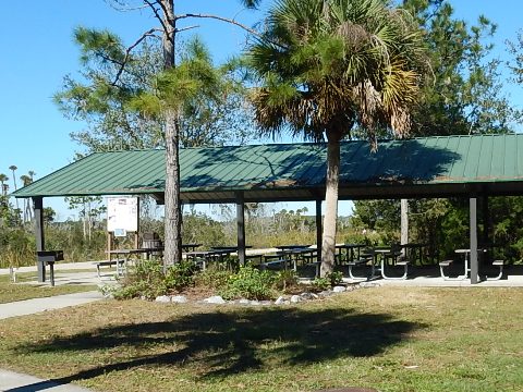
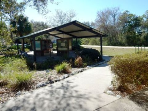
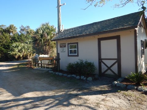
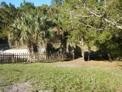
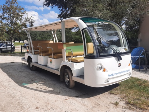
To reach the wetlands off SR 50, go north on Fort Christmas Road (CR 420) about 2.25 miles (past Fort Christmas), turn right on Wheeler Road and continue another 1.5 mile to the entrance. Admission is free, open sunrise to sunset, closed on Mondays. At the trailhead are parking, restrooms, water, picnic pavilions, Education Center (open Fridays and Saturdays), and a Visitor Pavilion with maps and information. A free tram runs on weekends, and guided group tours are available by request. Activities include wildlife viewing, photography, hiking, non-motorized biking, and horseback riding. No pets, vehicles, camping, cooking fires, hunting, boating, fishing, swimming, or drones are permitted. Formerly called Orlando Wetlands Park, the name was shortened to Orlando Wetlands to avoid confusion - some people arrived at the "park" expecting theme park rides!
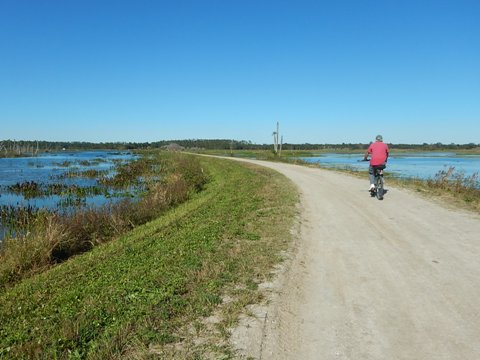
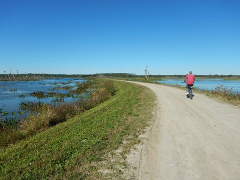
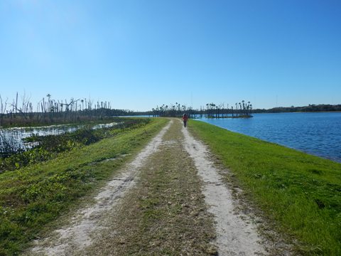
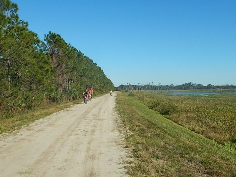
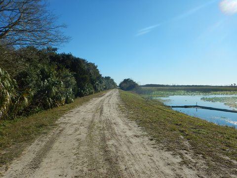
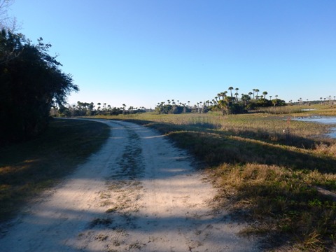
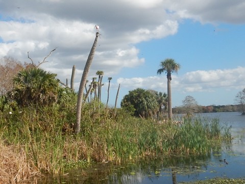
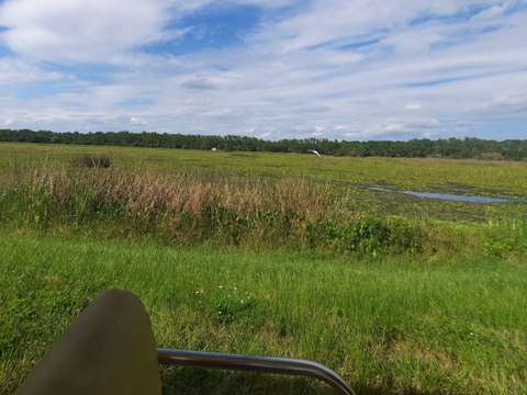
Biking on the Berms
Wetlands Blvd. to Alligator Alley to Otter Blvd.
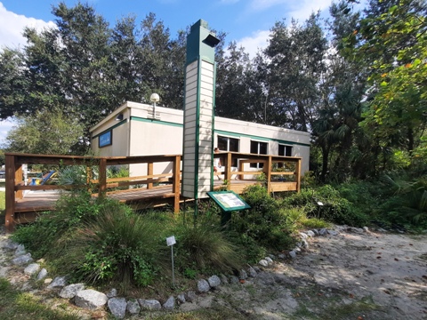
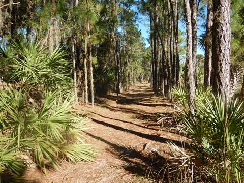
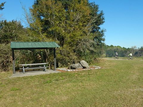
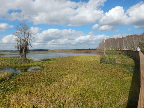
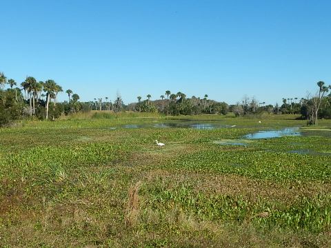
Leaving the trailhead is a crossroads, to the Birding Loop or to Lake Searcy Loop. A new Education Center is now under construction here. We continued on Wetlands Blvd. and the Birding Loop, here it's a wide, hard-packed path with many birdwatchers and photographers. We walked parts of this stretch, so many views!
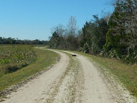
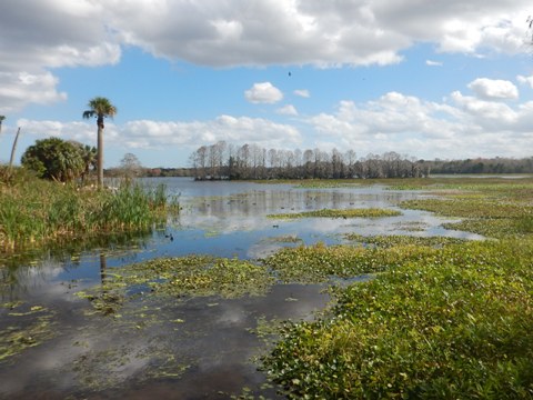
We turned onto Alligator Alley, here the berm path is less heavily used, narrower and rougher. At Otter Blvd. we left the mapped loop - rather than going left back to the trailhead, we turned right to Bald Eagle Blvd. At the end of Alligator Alley and on Otter Blvd. were sections with softer sand but still rideable. With more stops for views, we also learned how Otter Blvd. got its name when an otter crossed in front of us!
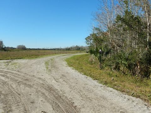
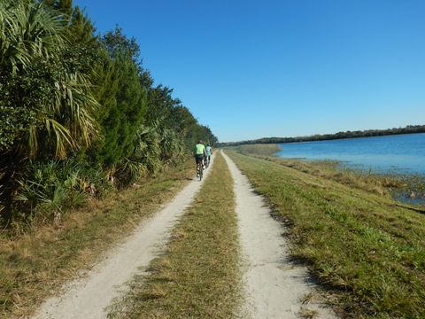
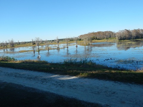
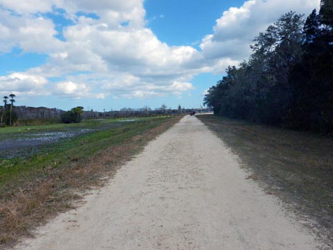
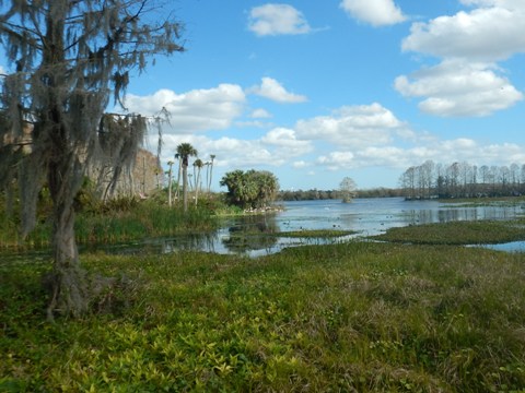
Bald Eagle Blvd. to Vulture View
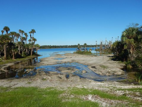
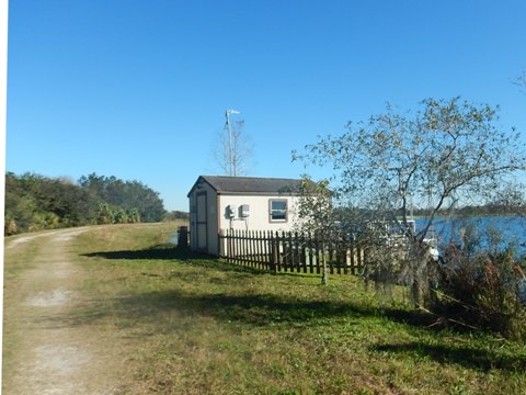
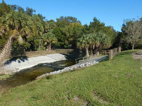
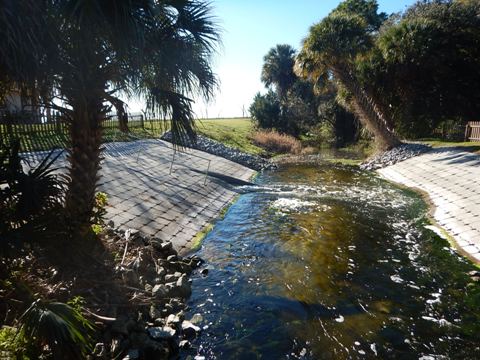
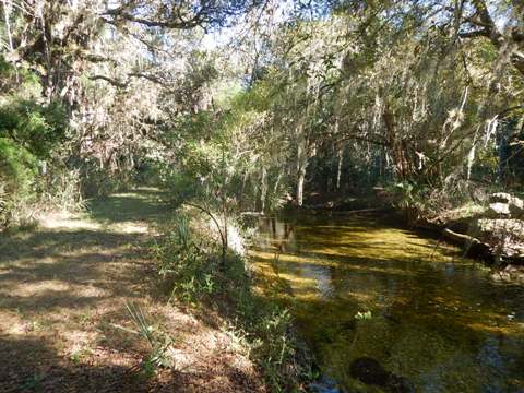
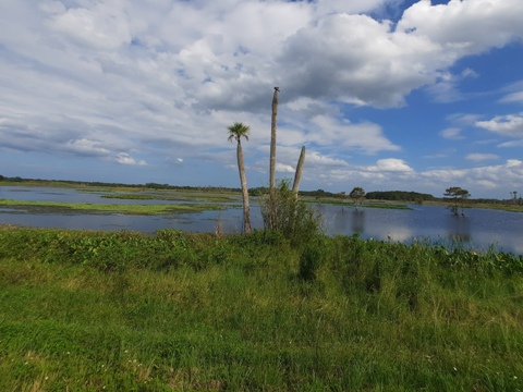
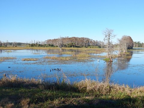
Bald Eagle Blvd. is along the northern boundary, the wetlands to the south and hammock to the north. Some hiking-only trails branch off the road, leading to the Florida Trail. A stream (actually a ditch carrying water to the St. John's) along the northern perimeter is spanned by several bridges leading to the Perimeter Trail. There also are a couple of water monitoring stations. Past the first monitoring station is a turn-off onto Wetlands Blvd. and back to the trailhead, but we continued on Bald Eagle. Past the second monitoring station, Bald Eagle ends and becomes a hiking trail - turn onto Vulture View.
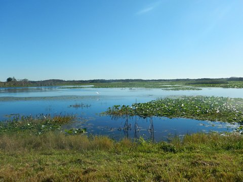
The second monitoring station is the end of the filtration system and you can see the final outflow from the wetlands. There's also another bridge crossing over to the perimeter trail.
Along Bald Eagle Blvd.
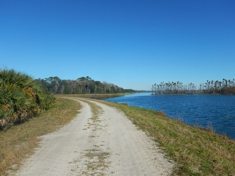
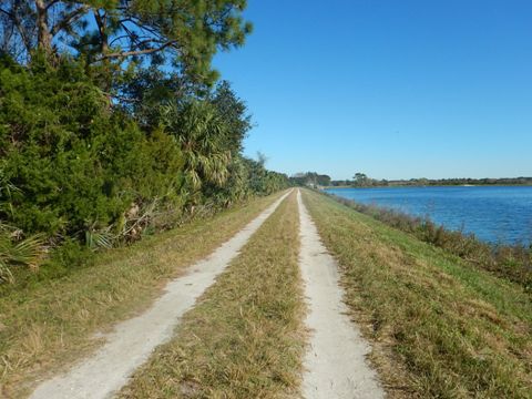
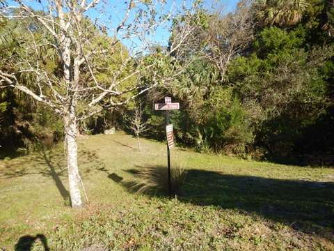
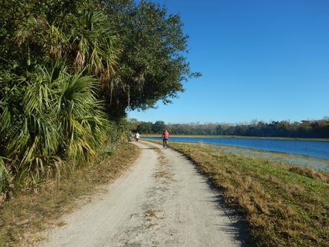
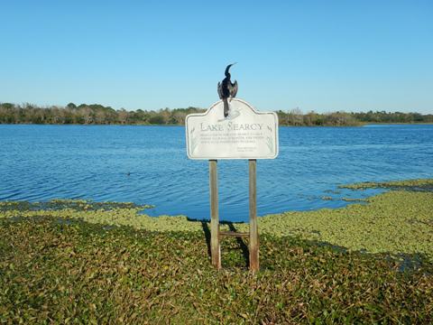
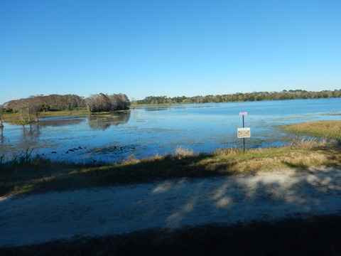
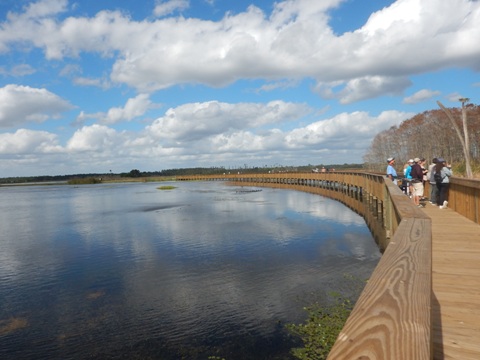
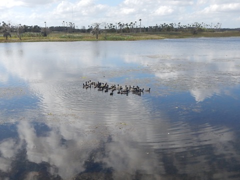
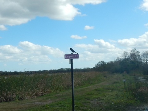
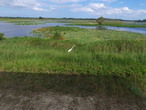
Vulture View to Osprey Blvd. to Trailhead
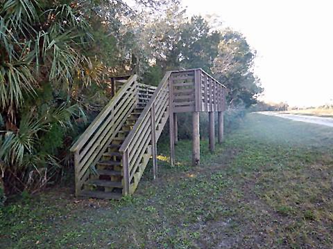
Vulture View was somewhat sandy but rideable. It comes to a "crossroad" at Limpkin Lane and Osprey Blvd.,* we followed Osprey Blvd. now as part of the Lake Searcy Loop. Here the surface is more hard-packed with better wetlands views. A hiking-only trail branches off Osprey, while an observation platform provides an excellent view of the lake. Continuing on Osprey Blvd., we returned to the trailhead.
* At Limpkin Lane, the Cypress Boardwalk (see below) creates a shortcut back to the trailhead.
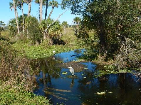
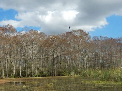
Cypress Boardwalk
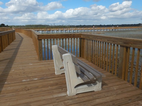
From the parking lot, it's about 4/10 mile to the Cypress Boardwalk. Go to the new Education Center, then bear right on the Lake Searcy Loop. The boardwalk runs about a half-mile, connecting Osprey Blvd. to Limpkin Lane and Bobcat Trail, across a wetland not previously accessible. Running near the cypress dome, home to myriad birds, it's a birdwatcher's dream. Camera and binocular carrying visitors "flocked" to take in the array from the Boardwalk. Benches are provided to soak in the views. For safety, bikes may be walked across but not ridden.
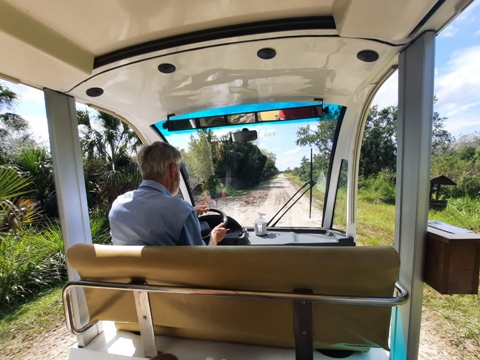
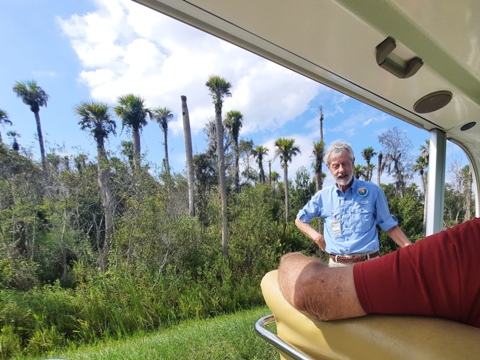
More Wildlife, Views from the Tram
One hot Florida day, we visited without bicycles and started to hike. We saw the tram passing and decided to see if we could get a (shaded) ride, so we trekked back to the Education Center and yes - we were able to take the tour! No fee, but a donation is appreciated. Very interesting history of the creation of the wetlands, about the wildlife and vegetation. Thank you, Volunteers! Although we'd visited previously by bike, we recommend taking the tour first for added appreciation of what you'll see while pedaling.

Creating the Wetlands
The wetlands were created in 1987 to treat wastewater from the Iron Bridge Regional Water Reclamation facility. Reclaimed water from the Iron Bridge facility flowed to the Little Econ River, but population growth after it opened in 1982 strained its capacity. Wetlands filtration was identified as an alternate option. Reclaimed water from Iron Bridge (35 million gallons per day) is diverted to the wetlands (17 miles) where it's further filtered, the wetlands naturally removing nitrogen and phosphorus from the water, taking about 40 days before reaching the St. Johns River. Over 2 million aquatic plants and 200,000 trees were planted to create the wetlands. The lake at the center provided landfill to build the wetland berms. The success of this project has become a model for other wetlands projects for both the advanced treatment of wastewater and beneficial reuse.
More Information and Resources
Nearby Biking:
Little Econ Greenway
Tosohatchee WMA (eco-biking)
Central FL Region - More
trails plus Regional Overview map
Related Resources:
Find Trails by FL Region or Listed A - Z
100FloridaTrails.com... 100+ Florida Multi-use Bike Trails, Best for Safe, Fun Recreation and Fitness
Other Websites:
BikeOrlando.net
PaddleFlorida.net
BikeTripper.net
Copyright © 100FloridaTrails.com. All Rights Reserved.