100 Florida Trails®
Top FL Multi-use Bike Trails
Map Links & Photos Galore
Coast-to-Coast Updates
You are here > Home >
Trails >
South FL-East >
El Rio Trail
Latest update: February 2024
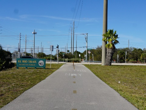
El Rio Trail... Southeast Florida
Popular Canal-side Bike Trail in Boca Raton... 4.8 Miles
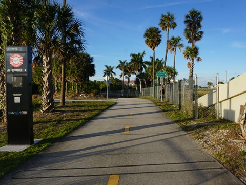
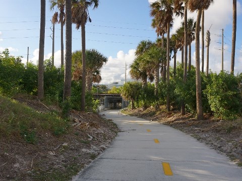
A paved multi-use bike trail, El Rio Trail runs mostly along El Rio Canal and a power line for 4.8 miles through Boca Raton. This well-kept trail is an easy ride and except for road crossings, well away from the roadway. From what we observed, it's very popular with the locals, offering a link to and from Florida Atlantic University (FAU), neighborhoods and businesses, and the Tri-Rail Station.(Map link and photos below.)
Location: Palm Beach County (boca Raton, Delray
Beach)
End Points: Glades Road to Congress Avenue
Mileage: 4.8 miles
Surface: Paved asphalt
Nearby points of interest: Florida Atlantic
University, beaches (Boca Raton, Delray Beach, Deerfield Beach),
Yamato Scrub Natural Area (hiking)
Bike Shops/Rentals:
Conte's Bike
Shop (Sales,
rentals, service)
Boca Bike Shop (Sales,
rentals, service)
Trek Bike Shop
(Sales, service)
Racer's Edge (Sales,
service)
Page Summary:
- Biking on El Rio Trail
- Glades Road to Spanish River Blvd.
- Spanish River Blvd. to Tri-Rail Station
- Tri-Rail Station to Clint Moore Rd.
- Clint Moore Rd. to Congress Ave. - More Information and Resources
Biking the El Rio Trail... Comments and Photos
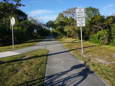
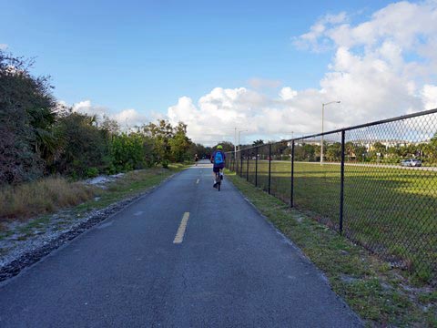
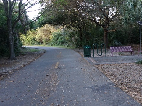
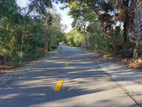
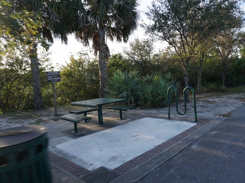
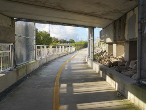
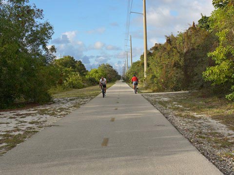
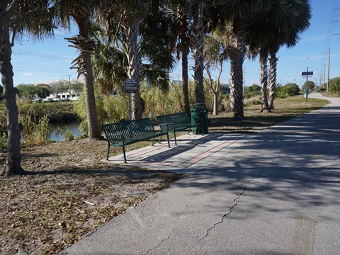
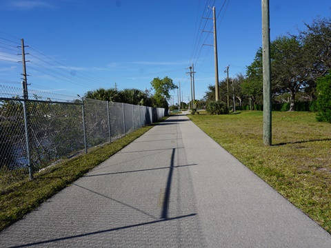
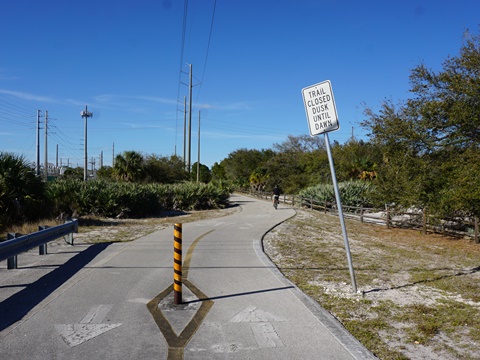
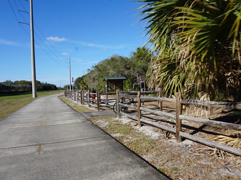
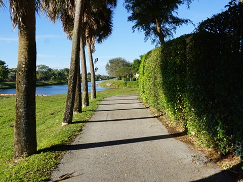
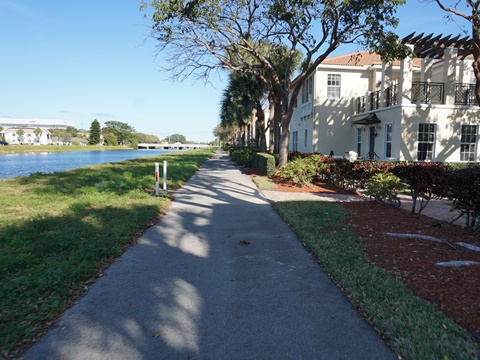
In addition to commuting, this also is a pleasant recreational ride. Benches and water fountains are at regular intervals. Thanks to the trail's north-south orientation, parts are nicely shaded and wind-sheltered at times. Directional markers are helpful. Underpasses at I-95, the railroad track, and Yamato Road are nice features, but some road crossings remain. Wildlife includes a variety of birds and a few gopher tortoises. Plenty of invasive iguanas were evident as well. Overall, while just under 10 miles round-trip, we rate the El Rio Trail as one of the more a pleasant, in-town bike rides in Southeast Florida.
Here we visit South to North
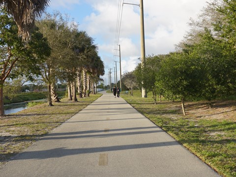
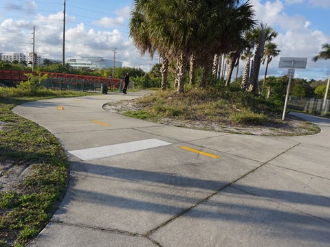
Glades Road to Spanish River Blvd. (1.8 miles)
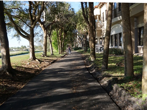
This section starts runs along the west side of the canal, paralleling Florida Atlantic University, then crosses the canal to continue on the east side paralleling NW 6th Way and a residential neighborhood.
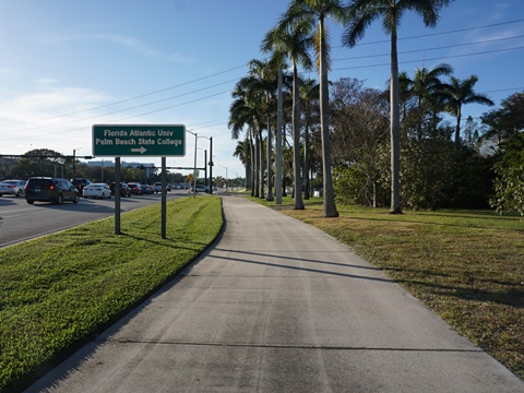
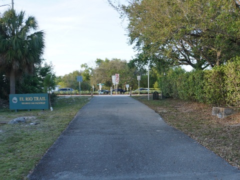
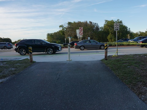
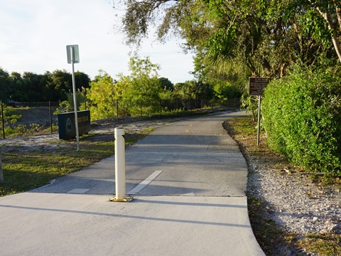
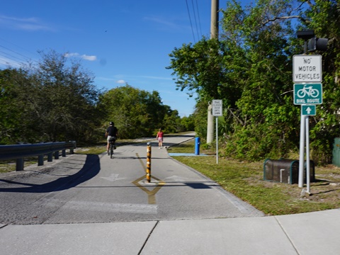
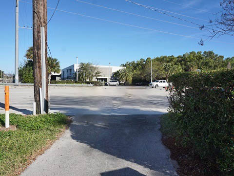
- At Glades Road, the entrance to FAU and a trail into the university are a short distance from the start of El Rio Trail. There are no dedicated "trailheads," but parking is available at businesses along Glades Road, or paid parking at FAU public lots.
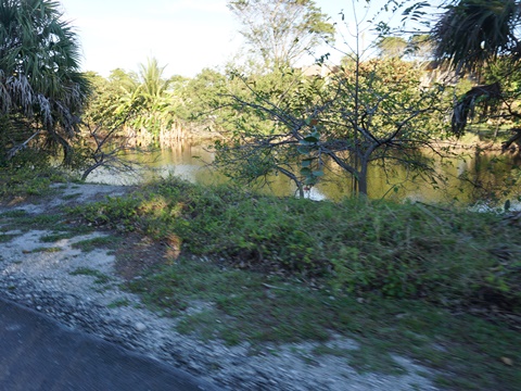
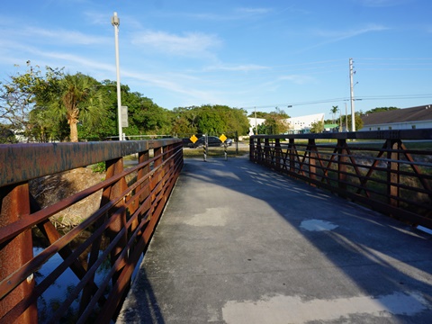
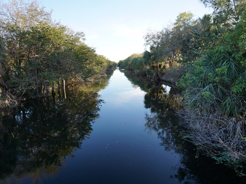
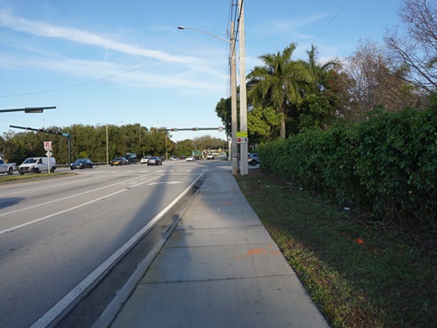
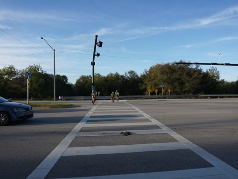
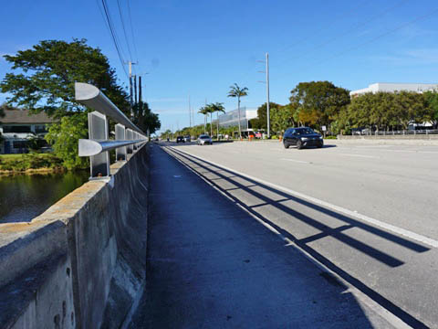
- The trail crosses NW 20th St. (be careful, use the crossing signal), then at about 1.25 miles crosses the canal with some scenic views from the bridge.
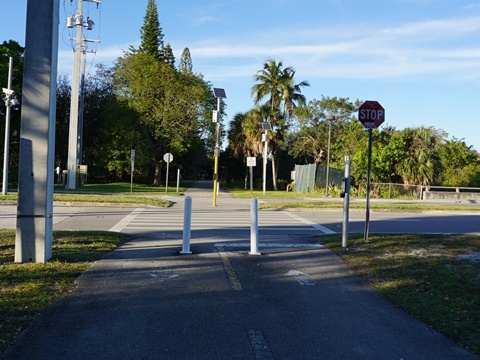
- Continue a half-mile to Spanish River Blvd. (NW 40th St.). Here, the trail has been re-directed to run east to NW 6th St. - use the crossing signals to cross Spanish River Blvd. and return west to resume along the canal.
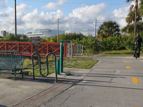
Spanish River Blvd. to Tri-Rail Station (0.5 mile)
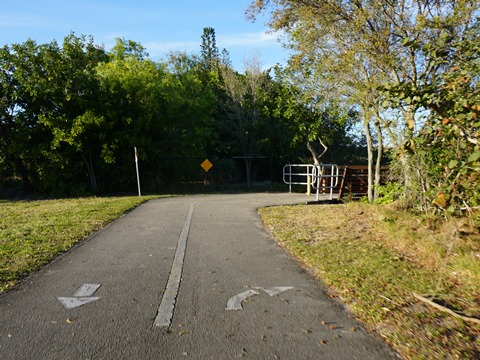
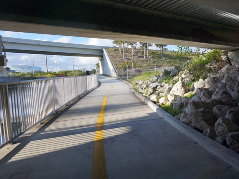
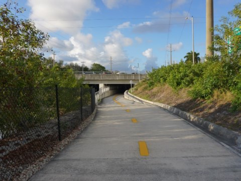
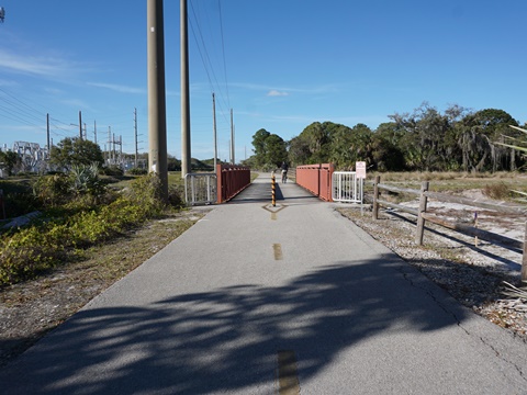
- Continuing from Spanish River Blvd., in about 1/4 mile the trail goes under I-95 (there are multiple underpasses under the highway and access roads).
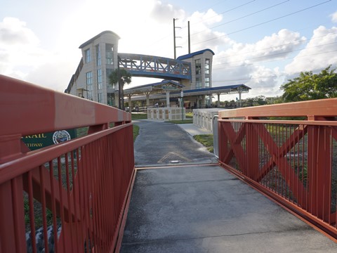
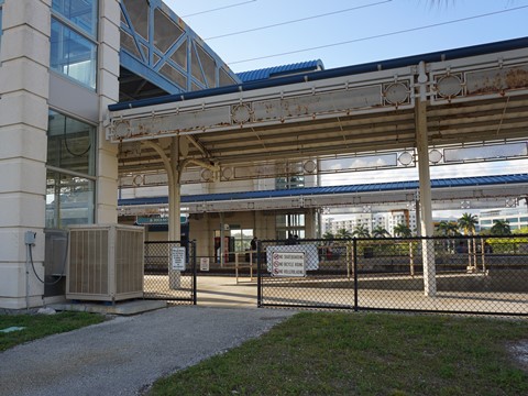
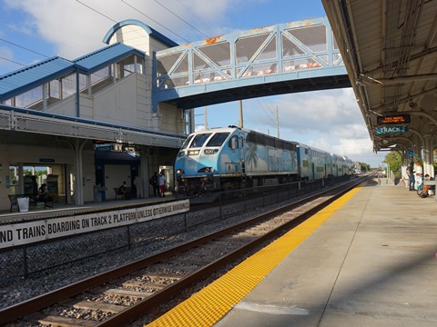
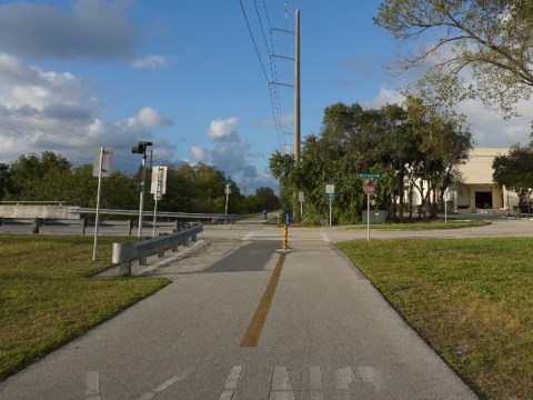
- At the Tri-Rail Station, a side path runs across a bridge over the canal from the trail to the station. Benches and a bike fix-it-station are by the bridge. Parking is free but located on the opposite side of the railroad track, so parking here involves using the elevator and overpass to reach the trail. The Tri-Rail Station also provides bike lockers.
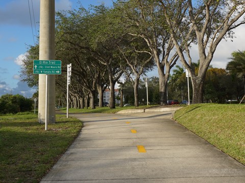
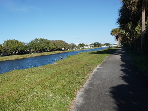
Tri-Rail Station to Clint Moore Rd. (1 mile)
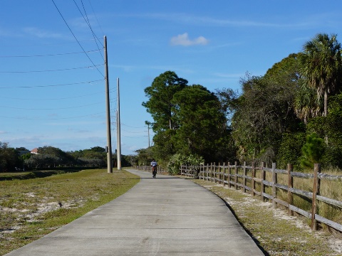
- Continuing on the trail, underpasses at the railroad track and busy Yamato Road are bonuses.
- For visitors, several hotels are located alongside the trail, providing easy trail access.
- This section runs past an office park, with one road crossing, at Park of Commerce Blvd. - not busy, but be watchful when crossing.
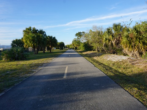
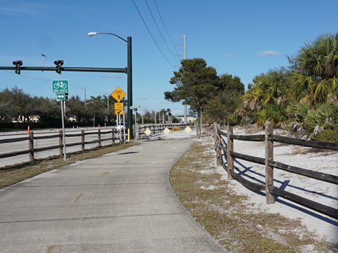
- Continuing to Clint Moore Rd., the trail runs along the canal and powerline past a business area. Clint Moore is a busy road, be very careful and use the crossing signals.
Clint Moore Rd. to Congress Ave. (1.5 miles)
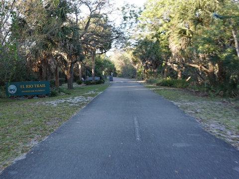
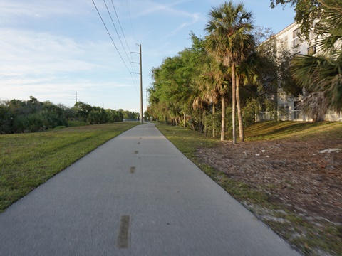
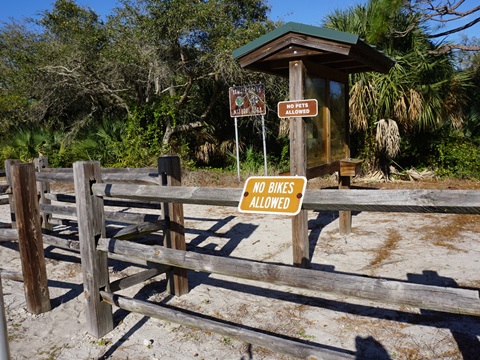
- Across Clint Moore Rd., the trail goes past the Yamato Scrub Natural Area - 215 acres, hiking but bikes not allowed.
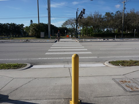
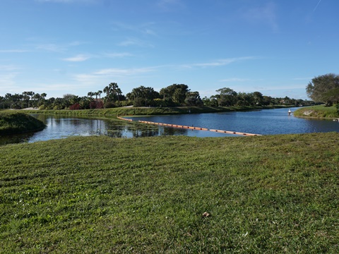
- Cross Congress Ave. carefully, using the crossing signals, and continue on the trail about 0.25 mile along the El Rio Canal to where it meets the Gulfstream Canal (C-15) (the boundary with Delray Beach). Here the trail takes a sharp right to follow the Gulfstream Canal, passing a residential area and ending in 0.4 mile back at Congress Ave.
- Another option for parking is to continue 0.2 mile north on Congress Ave., across the canal, to Delray Oaks Natural Area.
More Information and Resources
Nearby Biking:
Palm Beach Lake Trail
Cypress Creek Greenway
Southeast FL Region -
More trails plus Regional Overview map
Related Resources:
City of Boca Raton - El Rio Trail
Support & Advocacy:
Find Trails by FL Region or Listed A - Z

100FloridaTrails.com... 100+ Florida Multi-use Bike Trails, Best for Safe, Fun Recreation and Fitness
Other Websites:
BikeOrlando.net
PaddleFlorida.net
BikeTripper.net
Copyright © 100FloridaTrails.com. All Rights Reserved.