100 Florida Trails®
Top FL Multi-use Bike Trails
Map Links & Photos Galore
Coast-to-Coast Updates
You are here > Home >
Trails >
North Florida >
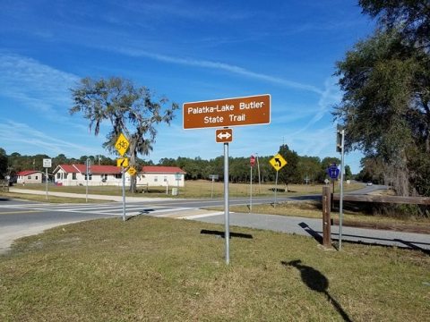
Palatka-to-Lake Butler State Trail
Latest update: March 2025
Palatka-to-Lake Butler State Trail...
Scenic Rail-trail - Part of a Growing North FL Trail Network
The Palatka to Lake Butler State Trail is a rail-trail on an old Norfolk-Southern Railroad right-of-way. Two disconnected segments of the planned 50+-mile trail are completed, totaling about 36 miles - 32 miles from Palatka to Hampton, and 4 miles at Lake Butler. To the east, the trail ends near Palatka Airport where a gap into Palatka remains. The Palatka to St. Augustine State Trail is currently reachable by road route and the Palatka Urban Trail. The trail crosses and portions are shared with the Florida National Scenic Trail. (Map link and photos below.)
Location: Putnam, Clay, Bradford and Union Counties
End Points: Lake Butler to Palatka, 2 segments completed
Mileage: 36 paved out of 50+ total when completed: 32 miles
from Palatka to Hampton, 4 miles at Hampton. 6 mile spur to Gold Head Branch State Park.
Parking/Trailheads: Palatka East, Florahome, Grandin,
Twin Lakes Park, Keystone Heights, Hampton, Lake Butler; other parking areas
available trailside (see map)
Surface: Asphalt, 12 feet
Nearby points of interest: Ravine Gardens State
Park, Mike Roess Gold Head Branch State Park, Etoniah Creek State
Forest
Bike Shops/Rentals:
Putnam Bicycles
(Palatka)
Page Summary:
- Biking the Palatka-to-Lake Butler State Trail
- East Trailhead to Florahome Trailhead
- Rice Creek Conservation Area
- Etoniah Creek State Forest
- Roadside parking, Bardin Rd., Putnam Branch Rd., Roberts Lane - Florahome to Keystone Heights
- Grandin and Forest Hills Rd. parking
- Twin Lakes Park Trailhead, Keystone Heights Trailhead - Keystone Heights to Hampton
- Hampton, Bobby Sheppard Ball Park Trailhead - Lake Butler
- More Information and Resources
Biking the Palatka-to-Lake Butler State Trail... Comments and Photos
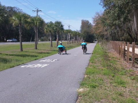
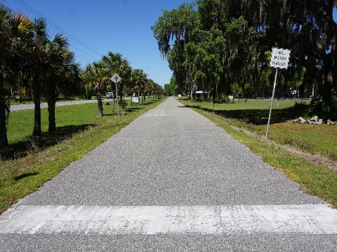
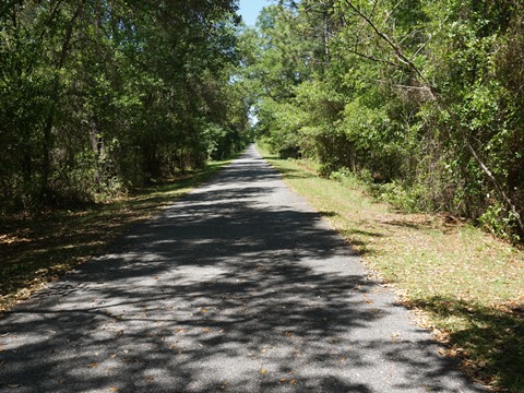
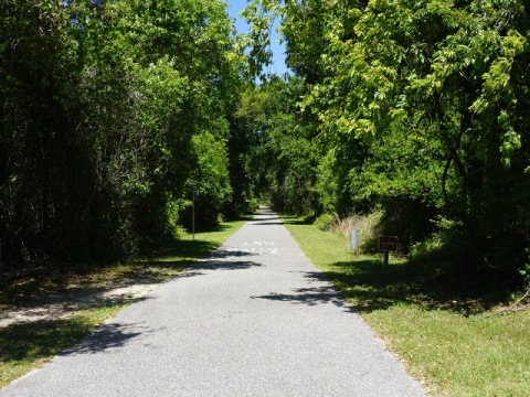
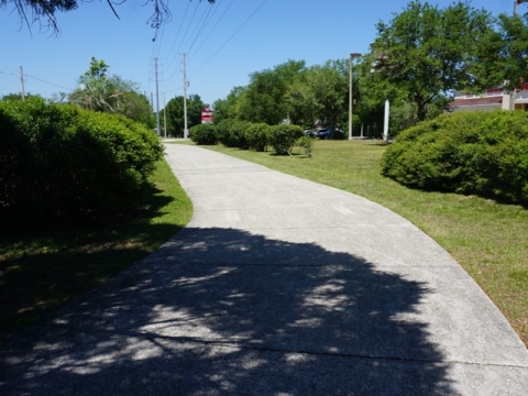
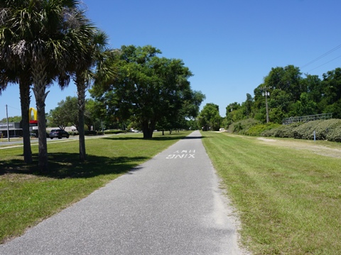
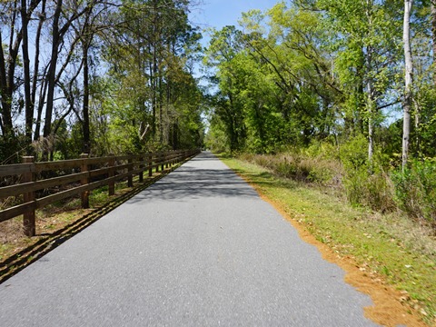
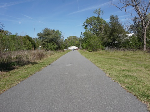
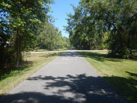
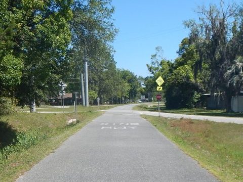
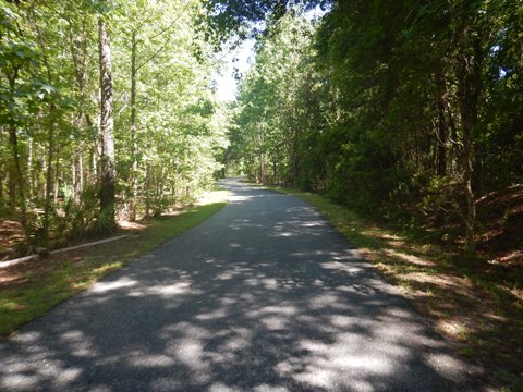
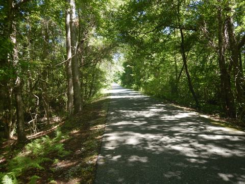
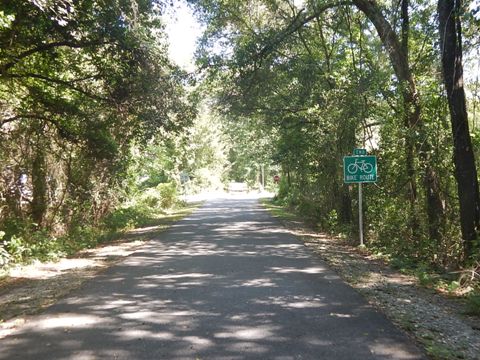
This an easy ride, mostly well-shaded and almost totally flat and straight with just a few large road crossings and including several bridges. Though mostly paralleling roadways (SR 100), there is generally a wide wooded buffer, with a few sections away from the road. The long distances between points are popular with through-bikers. Casual recreational bikers like us may want to visit shorter, more varied sections. We suggest the best section to ride is the 9 miles from Keystone Heights to Hampton, further away from the road, shaded and quiet.
- Trailheads are located at Florahome, Twin Lakes Park, Keystone Heights, Hampton and Lake Butler; additional trailside parking is at the eastern trail end near the Palatka airport, at Grandin, and at a few other locations along the way.
- There are no benches provided along the trail, bring water. Restrooms are available at the Florahome, Twin Lakes and Lake Butler trailheads. Several small stores along the way provide refreshments, with more services available in Palatka, Keystone Heights and Lake Butler.
We explore the Palatka-to-Lake Butler State Trail from east to west.
East Trailhead to Florahome Trailhead - 13 miles
East Trailhead to Etoniah State Forest
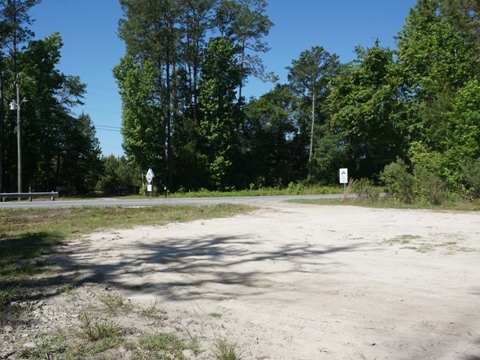
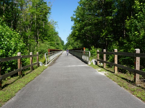
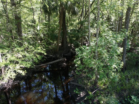
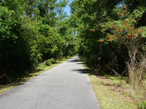
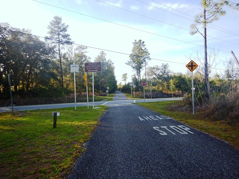
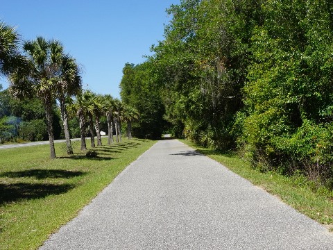
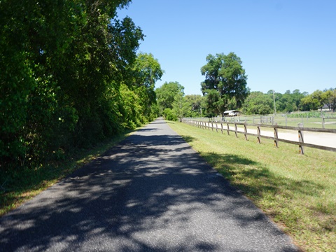
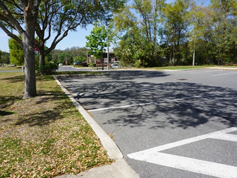
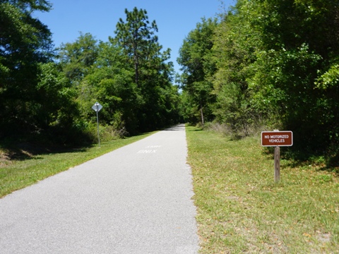
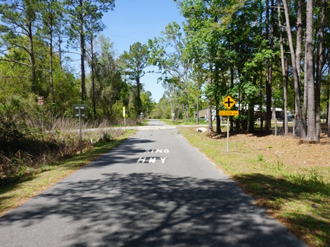
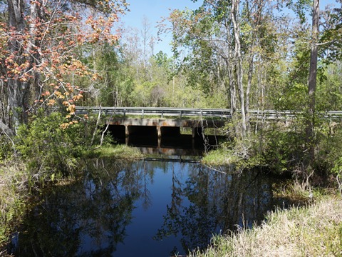
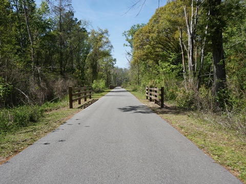
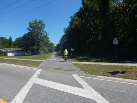
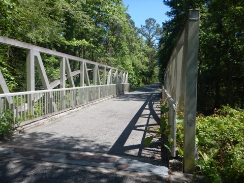
- The East Trailhead is roadside parking only, continuing a short distance to the east before the gap into Palatka. Westbound, the trail parallels SR 100 but with a wide wooded buffer. While the road view is largely blocked, the road noise is almost constant. This is a scenic ride, through Rice Creek Conservation Area and crossing the trestle bridge, then skirting the southern boundary of Etoniah Creek State Forest.
- Limited unpaved parking is available at several road access points, but this is a remote area so we recommend sticking to the trailheads.
Etoniah State Forest to Florahome
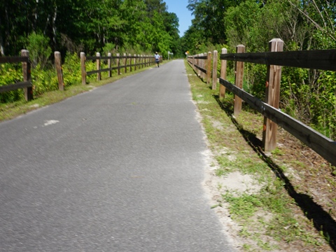
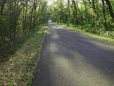
- The trail at the forest is shaded with a wooded buffer to the road, but with some road noise.
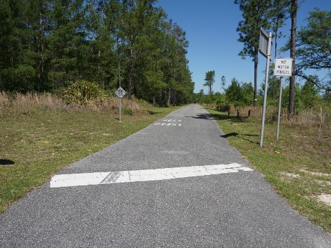
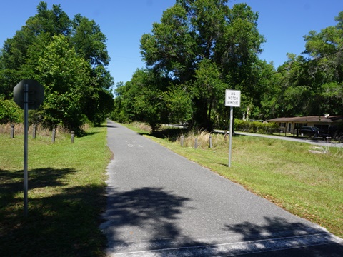
- The trail exits the forest at Hollister Rd. and continues through woodlands. At about 1.5 miles approaching Florahome , it leaves the woods and re-emerges along SR 100, running alongside the road to the Florahome Trailhead.
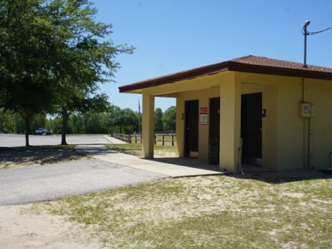
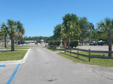
- The trailhead has parking, restrooms and picnicking. Florahome Community Park here includes a playground and playing fields. A convenience store is located across the street.
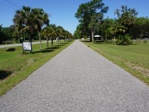
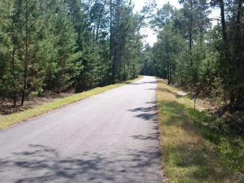
Florahome to Keystone Heights - 10.6 miles
Florahome to Putnam Hall
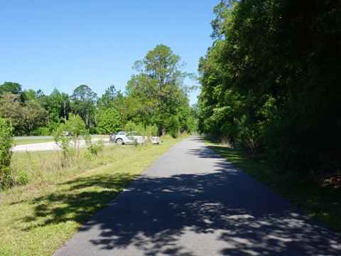
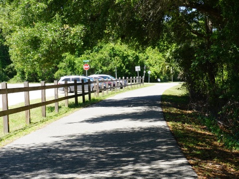
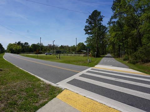
- The trail between Florahome and Grandin (2 miles) continues along SR 100 with a wooded buffer. Parking at Grandin is trailside at Sykes Rd., no other amenities. The trail crosses busy SR 315, be careful.
- Past Grandin, the trail turns away from the road through a scenic section, then rejoins SR 100 at Putnam Hall (Melrose) - refreshments available.
Putnam Hall to Twin Lakes Park
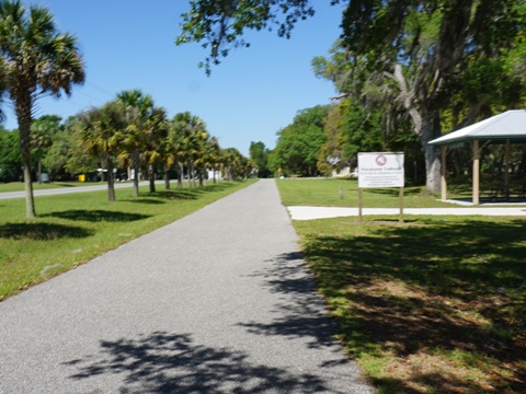
- At Forest Hills Rd. is roadside parking, and the trail again cuts away from the road, running through countryside to the trailhead at Twin Lakes Park.
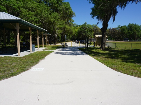
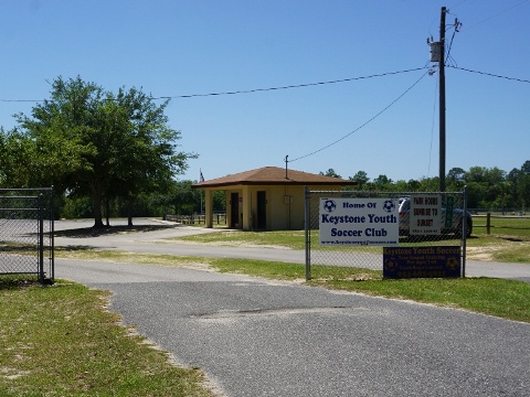
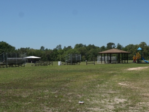
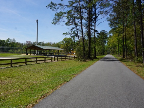
- The Twin Lakes Park Trailhead has parking, restrooms, picnicking, playground and playing fields. It's home of the Keystone Youth Soccer Club.
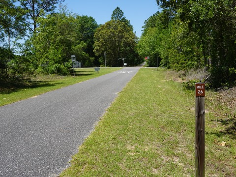
Twin Lakes Park to Keystone Heights
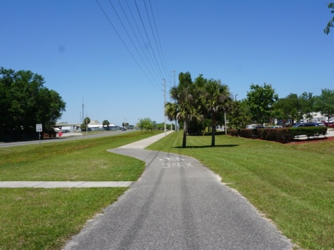
- From Twin Lakes Park, the trail continues off the road for about 1.5 mile before rejoining SR 100 where it runs roadside, passing homes and businesses through Keystone Heights.
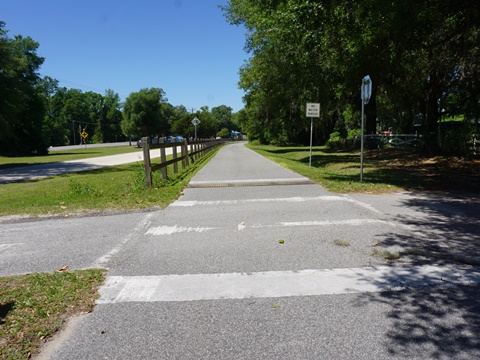
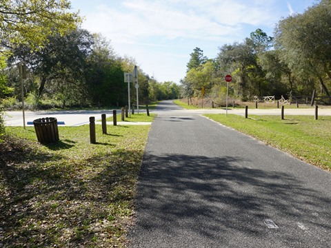
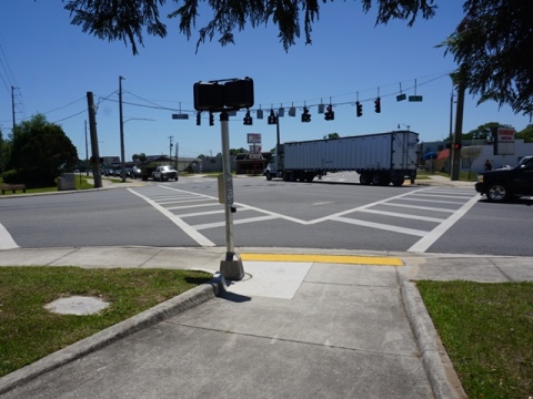
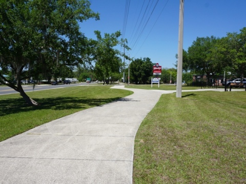
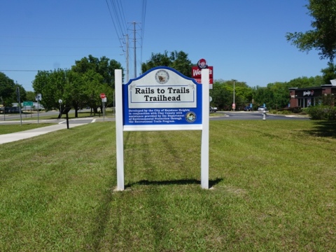
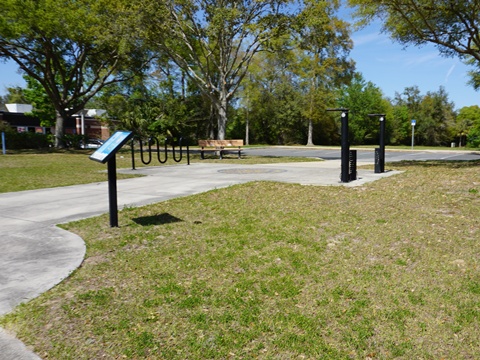
- After crossing very busy SR 21 (be careful, use the crossing signals), the Keystone Heights Trailhead is less than 1/10 mile with parking, benches and a fix-it station. Located between CVS and Wendy's, other food and shopping are nearby.
- At SR 21 a paved spur runs north, 6 miles paralleling the road to Mike Roess Gold Head Branch State Park. This is a worthwhile stop with scenic ravine, camping and vacation cabins (the closest accommodations to Keystone Heights). More details and photos, Gold Head Branch State Park

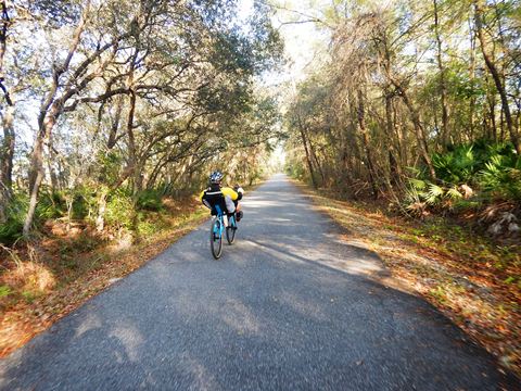
Keystone Heights to trail end at Hampton - 9 miles
Keystone Heights Trailhead to Bobby Sheppard Ball Park
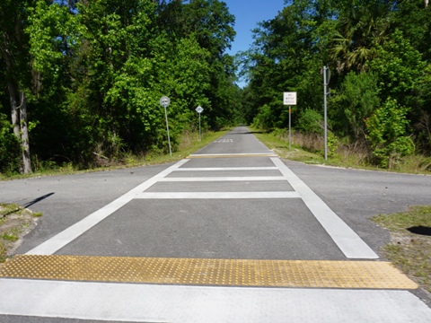
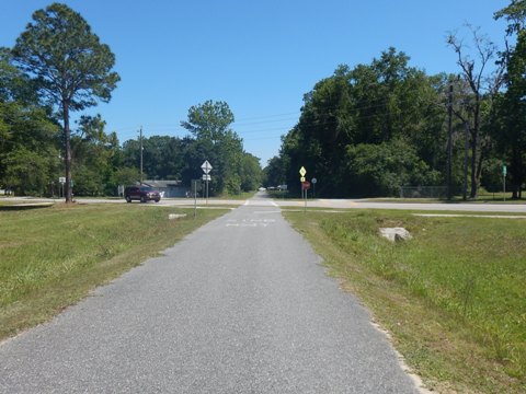
- From the Keystone Heights Trailhead, the trail continues along SR 100, then cuts away again at SE 57th St., running one mile where it meets and crosses SR 100.
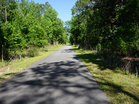
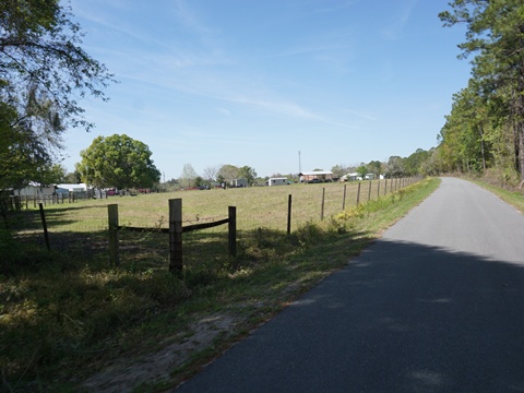
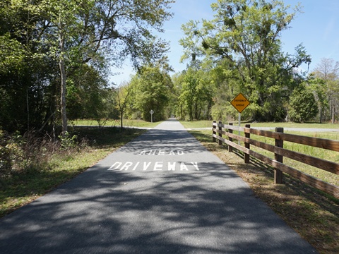
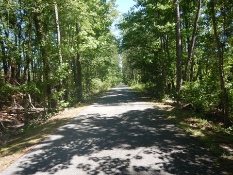
- From here the trail is mostly shaded and more peaceful, our favorite section to ride. The trail corridor leaves the road and runs through woodland and farmland, with some homesteads, driveways and several lightly traveled road crossings. In about 2.5 miles, it nears SR 18 for a short distance, but then continues away from the road.
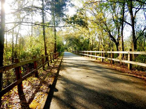
Bobby Sheppard Ball Park to trail end
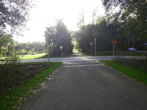
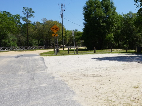
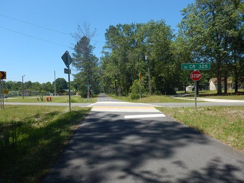
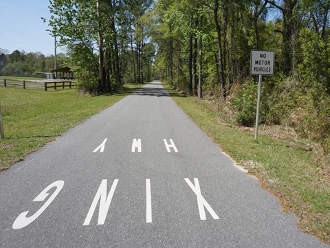
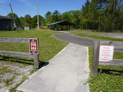
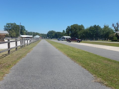
- At Prospect Ave. (CR 325) in Hampton, Bobby Sheppard Ball Park serves as a trailhead (parking, restrooms, picnic, playground, playing fields).
- The trail continues off the road through a pleasant wooded area, then emerges at Railroad Ave. in Hampton. In two blocks it meets SR 18 (Navarre St.), where the trail ends.
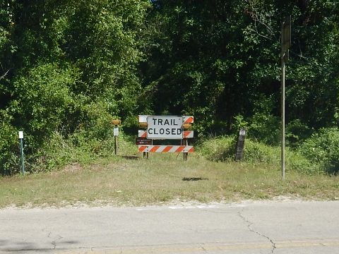
- Continuing west from here is future construction, running through Starke to Lake Butler - about 12 miles.
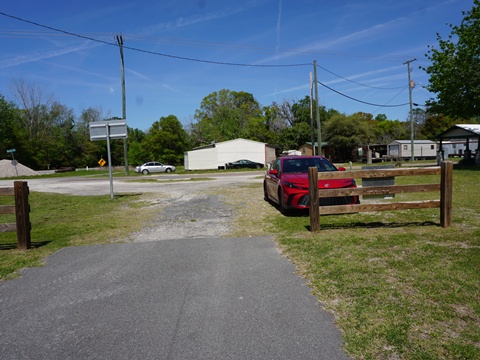
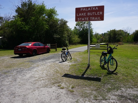
Lake Butler Section - 4 miles
The trail restarts at CR 227 and runs to Lake Butler where it rejoins CR 100, ending at SE 6th Ave. (SR 231). From here west is future construction to Lake City.
Lake Butler - in town
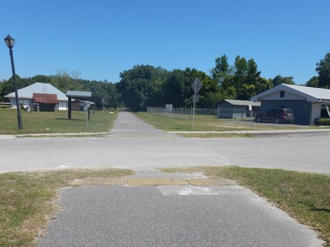
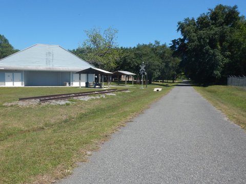
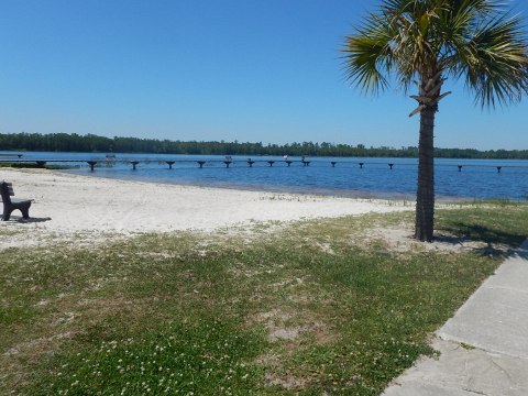
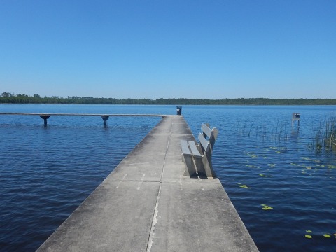
The Lake Butler Trailhead, off CR 100 (W. Main St.) has parking between SW 4th and 6th Avenues; cross SW 4th Ave. for restrooms, picnic tables and a fitness station, along with a section of old rail track. A deli, restaurants and stores are nearby. Ride a 4/10 mile street route to pleasant Lake Side Park with restrooms, picnic, parking, boat ramp, fishing pier, beach.
From the trailhead heading east, the first 6/10 mile to SR 121 runs through town with multiple road crossings.
CR 121 to CR 227
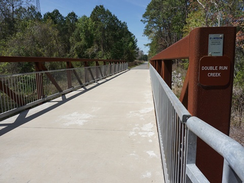
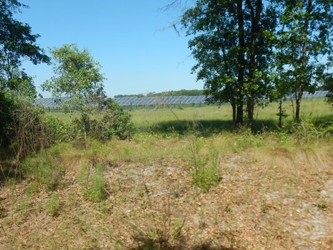
After crossing SR 121 (SW 6th St.) - being very careful - the trail enters a wooded area with bridges crossing Lake Butler Creek and Richard Creek. The serenity is interrupted for about a mile by activity at the adjacent West Fraser wood mill (around MM 52), but the peaceful surrounds resume after that. The trail passes one of the largest solar farms we've seen, visible through the trees for almost a mile. The trail then ends at CR 227. From here, east to Hampton is future construction.
More Information and Resources
Nearby Biking:
Palatka Area Overview
-
Palatka to St. Augustine State Trail
- Palatka Urban Trail
-
Ravine Gardens State Park
- Gold Head Branch State Park
North FL Region - More trails plus Regional Overview map
Related Resources:
Florida State Parks -
Palatka-to-Lake Butler State Trail
Florida State Parks - Bike the Palatka-to-Lake Butler State Trail
Florida Forest Service -
Etoniah Creek State Forest
Support and Advocacy:
Putnam Blueways and Trails CSO
Florida State Parks Foundation
Find Trails by FL Region or Listed A - Z

100FloridaTrails.com... 100+ Florida Multi-use Bike Trails, Best for Safe, Fun Recreation and Fitness
Other Websites:
BikeOrlando.net
PaddleFlorida.net
BikeTripper.net
Copyright © 100FloridaTrails.com. All Rights Reserved.