100 Florida Trails®
Top FL Multi-use Bike Trails
Map Links & Photos Galore
Coast-to-Coast Updates
You are here > Home >
Trails >
West Florida >
Skyway Trail
Reported: May 2021
Skyway Trail... St. Petersburg FL
Multi-use Trail Connecting Pinellas Trail to Bayway and Skyway Bridge Trails
The Skyway Trail starts at the Pinellas Trail to the north and provides a route to the Bayway Trail and Sunshine Skyway Bridge to the south. It's a nice community asset, providing connections between parks, schools, residential and business areas. Our favorite part was the northern section from Childs Park to Clam Bayou, with scenic views past several parks and running along a canal. In the southern section, it runs mostly roadside and is more commercial. (Map link and photos below.)
Location: Pinellas County (St. Petersburg)
End Points: Pinellas Trail/Childs Park to Bayway
Trail/Skyway Bridge Trail
Mileage: 4.6 miles
Surface: Concrete, asphalt, boardwalk
Nearby points of interest: Pinellas Trail, Childs
Park, Twin Brooks Golf Course, Clam Bayou, Maximo Park, Sunshine
Skyway Bridge
Bike Shops/Rentals:
Coast Bike
Share
Page Summary:
- Biking the Skyway Trail
- Childs Park to Clam Bayou
- Clam Bayou Nature Preserve
- Clam Bayou to Pinellas Bayway - Sunshine Skyway Bridge Trail
- Sunshine Skyway Bridge Trail from Maximo Park
- Maximo Park - More Information and Resources
Biking the Skyway Trail... Comments and Photos
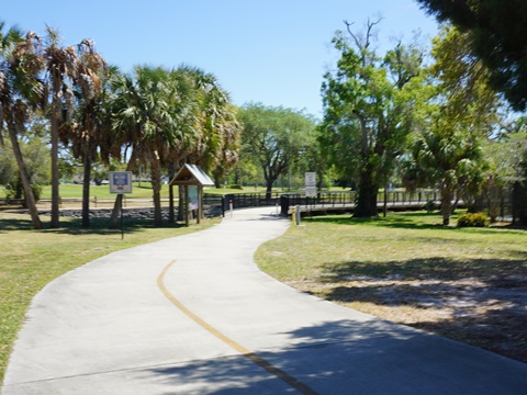
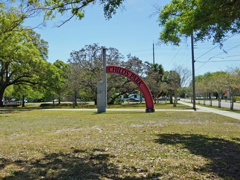
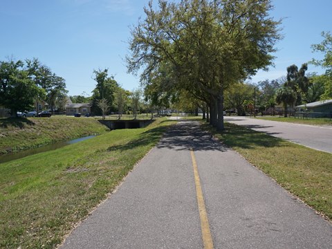
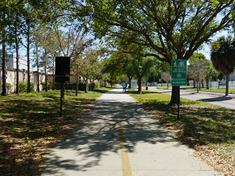
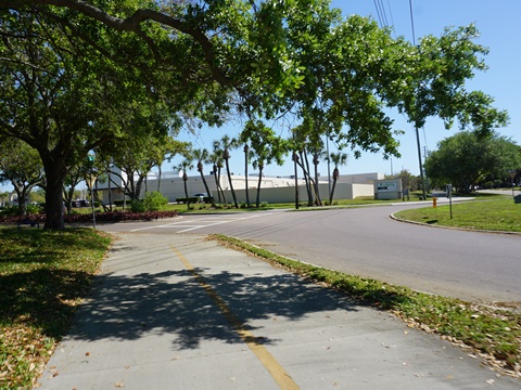
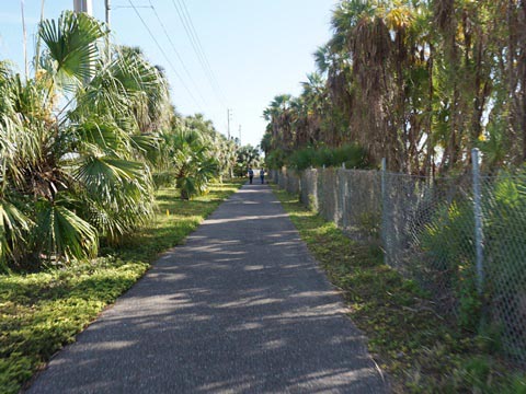
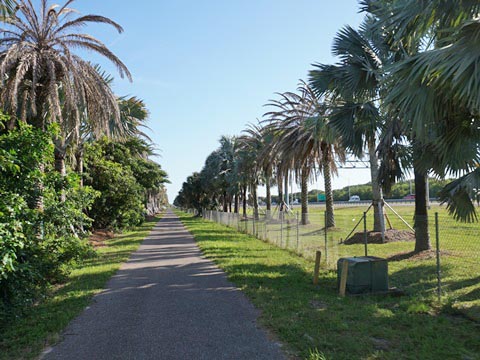
Childs Park to Clam Bayou
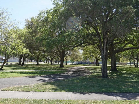
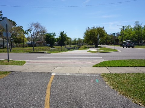
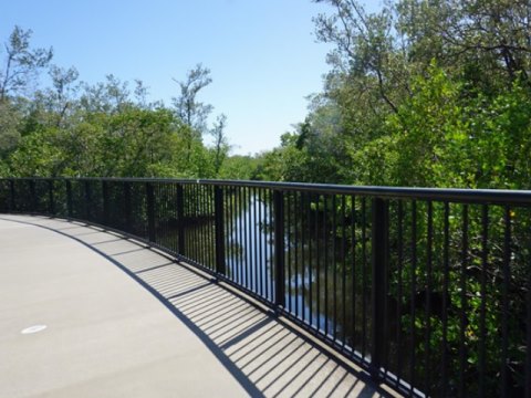
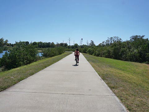
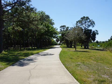
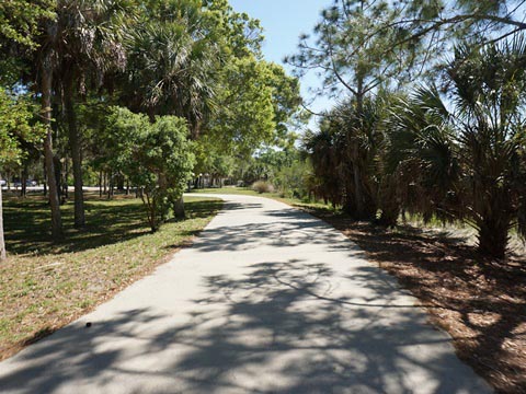
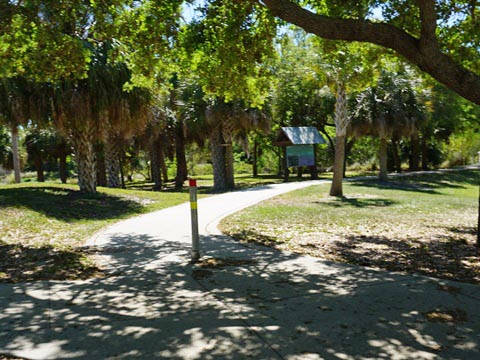
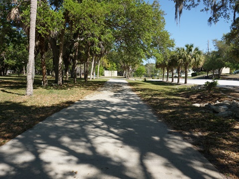
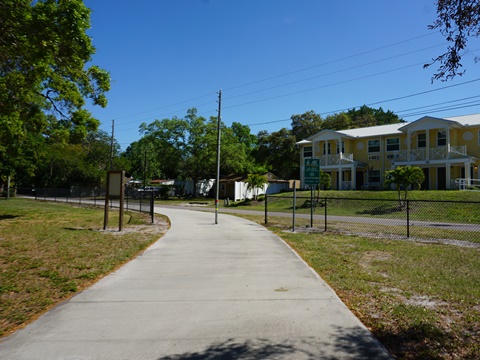
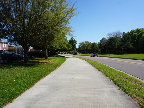
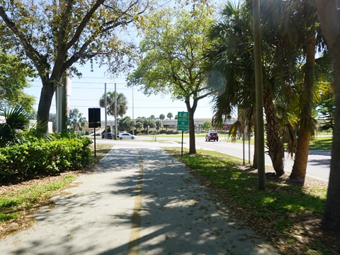
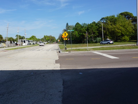
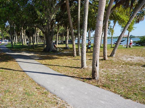
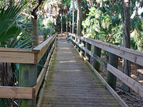
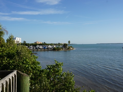
The Skyway Trail connects to the Pinellas Trail at 43rd St. S. and proceeds south to Childs Park. This neighborhood center has parking, restrooms, recreation center, athletic fields, pool and playground. Past Childs Park, while never far from residential areas, the trail runs mostly beside canal and maintains a natural feel, especially after crossing 22nd Ave. S. It winds past Thurgood Marshall Middle School and the Twin Brooks Golf Course, then includes an elevated pathway as it enters Clam Bayou and arrives at the highlight of the route - Clam Bayou Nature Preserve.
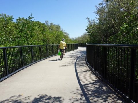
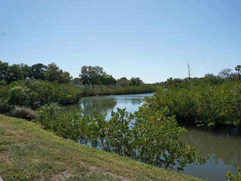
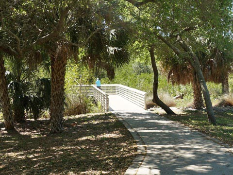
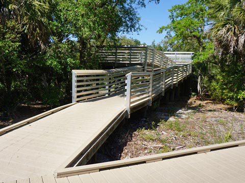
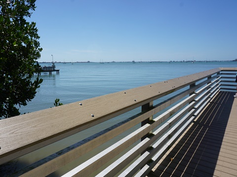
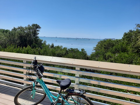
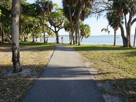
Clam Bayou Nature Preserve
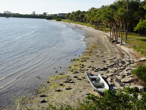
The Skyway Trail runs through the preserve, providing views of the varied habitat including marsh and mangrove. We enjoyed the trail passing through the preserve, and also biking and walking its paths and boardwalk. The boardwalk (about 1/10 mile) leading to observation platforms (one elevated) overlooking Boca Ciega Bay was a highlight. The 140-acre preserve, an ecosystem restoration project, is a treasure with parking, restrooms, picnicking, multi-use recreational trails (hiking, biking), boardwalks, kayak launch, views, lots of birds. (Note: Clam Bayou Nature Preserve is not to be confused with Clam Bayou Nature Park in Gulfport. They're across the bayou from each other, but no direct link.)

Clam Bayou to Pinellas Bayway
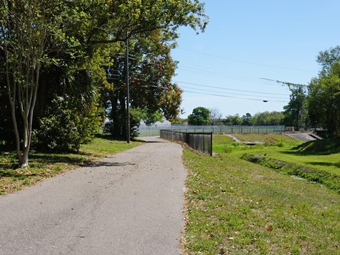
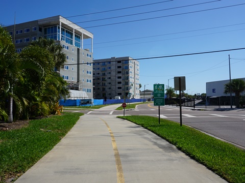
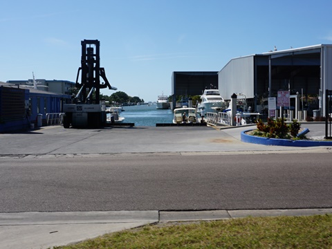
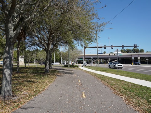
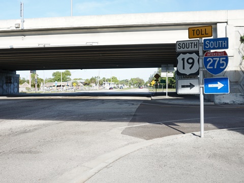
From Clam Bayou the trail turns eastbound and its personality changes. It meets 34th Ave. S. and runs roadside, then turns south along 37th St. S. where it continues roadside with numerous road and driveway crossings. It passes residential and business areas and a marina before arriving at 54th Ave. S., where it meets the Pinellas Bayway. From here are two options: (1) continue south on the Skyway Trail, under I-275 to 58th Ave. marina (and connector to Maximo Park and Sunshine Skyway Bridge Trail), or (2) head west on the Bayway Trail to St. Petersburg Beach (and connector to Ft. DeSoto Park). (See map)
Sunshine Skyway Bridge Trail
Some sites and maps show the Skyway Trail as continuous starting from the Pinellas Trail and across the Sunshine Skyway, but we've broken it into two - the Skyway Trail and the Sunshine Skyway Bridge Trail - the two are connected by a route running roadside from the 58th St. Marina to the Sunshine Skyway near Maximo Park.
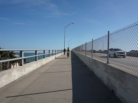
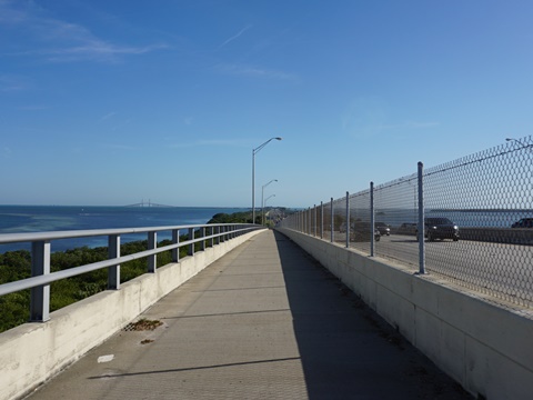
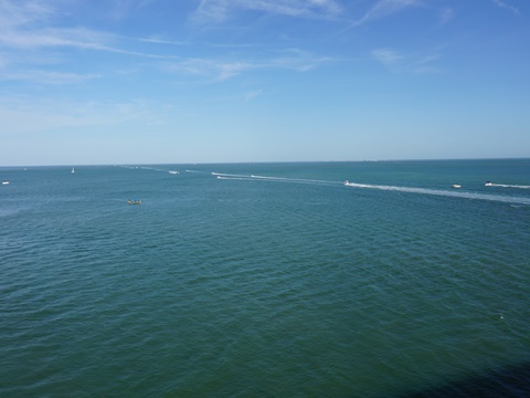
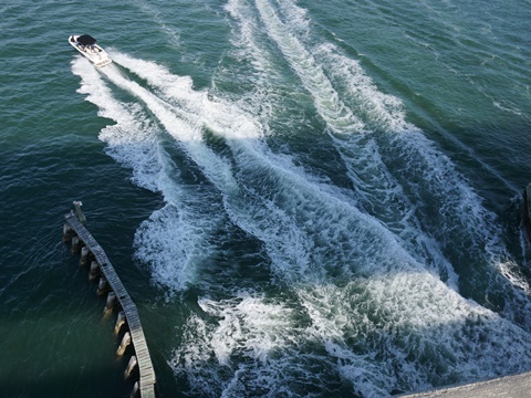
Sunshine Skyway Bridge Trail from Maximo Park
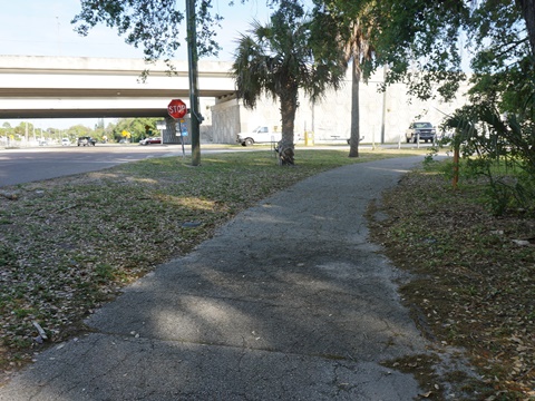
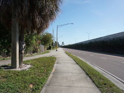
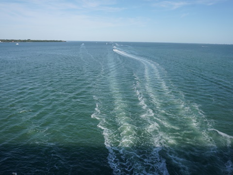
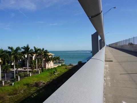
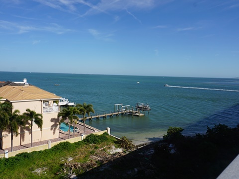
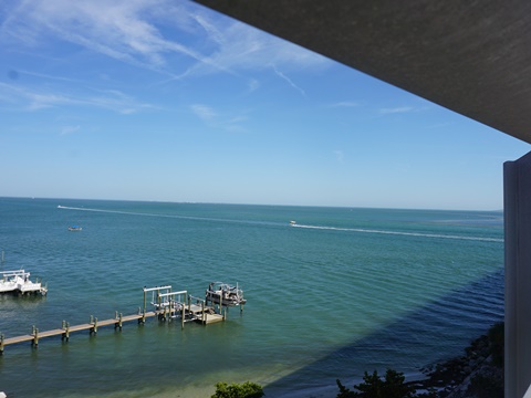
Exiting Maximo Park at 34th St. S., cross very carefully under I-275 along Pinellas Point Dr. S., then go across Sunshine Skyway Lane S. to the trail. The trail runs alongside I-275 separated by a fence, with lots of road noise. Crossing the Dick Misener Bridge at the North Channel is a highlight. The trail climbs and provides stunning Tampa Bay views from the top. Past the bridge the trail continues roadside with thick vegetation to the east blocking the view. There's a wide buffer from the road but with lack of scenery and much road noise we turned around at the tollbooth. The trail ends at the north entrance to Skyway Fishing Pier State Park - we didn't go that that far, perhaps we'll visit another time. When the new Sunshine Skyway Bridge was built in 1987, portions of the old bridge were re-purposed into the "world's longest fishing pier."
Sunshine Skyway Bridge Trail
Maximo Park
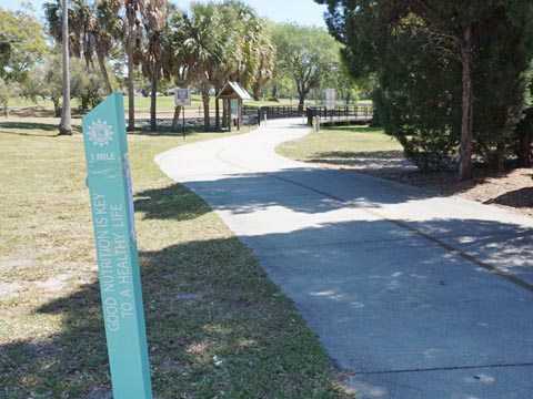
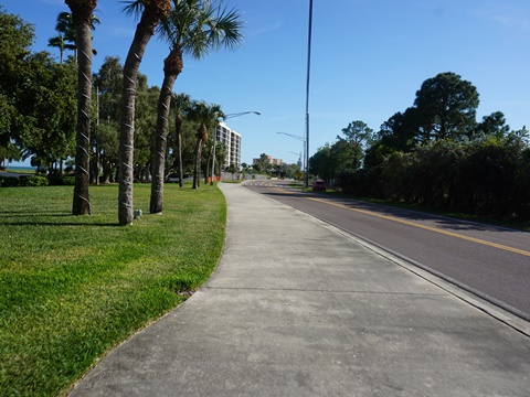
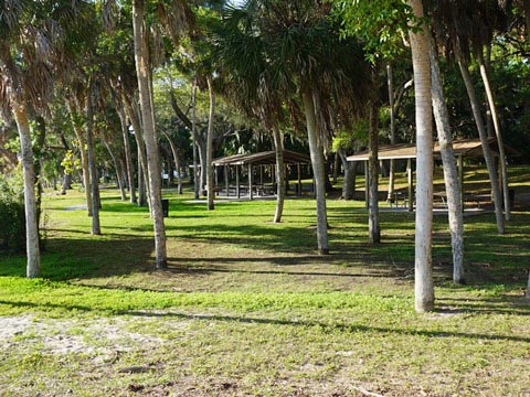
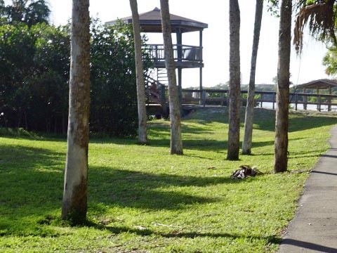
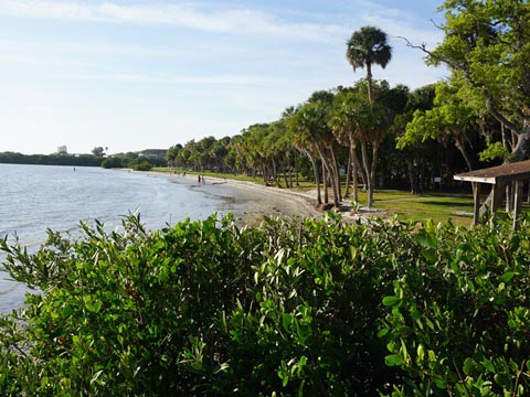
Maximo Park is a 70-acre gem with parking, restrooms, picnicking, recreational trails, boardwalk, observation tower, beach, boat ramps, and a disk golf course. We enjoyed biking and walking around the park, taking in the views before proceeding to the Skyway Bridge Trail. This is an archaeological site, built on an ancient Indian mound - portions can still be seen in the southern part of the park.
More Information and Resources
Nearby Biking:
Pinellas Trail - a FL Top 10 trail
Ft. DeSoto Park
West FL Region -More trails
plus Regional Overview map
Related Resources:
Find Trails by FL Region or Listed A - Z

100FloridaTrails.com... 100+ Florida Multi-use Bike Trails, Best for Safe, Fun Recreation and Fitness
Other Websites:
BikeOrlando.net
PaddleFlorida.net
BikeTripper.net
Copyright © 100FloridaTrails.com. All Rights Reserved.