100 Florida Trails®
Top FL Multi-use Bike Trails
Map Links & Photos Galore
Coast-to-Coast Updates
You are here > Home >
Trails >
South FL-East >
Snake Creek Trail
Reported: January 2020
Snake Creek Trail
Miami-Dade County Biking
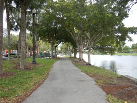
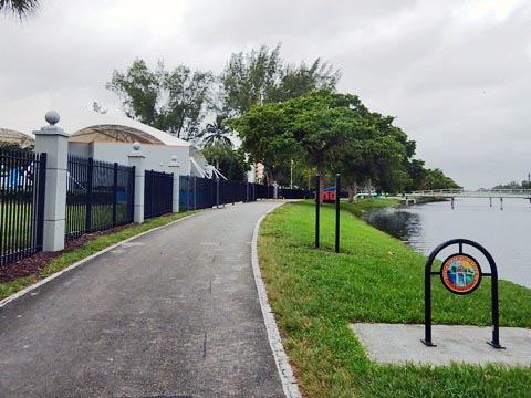
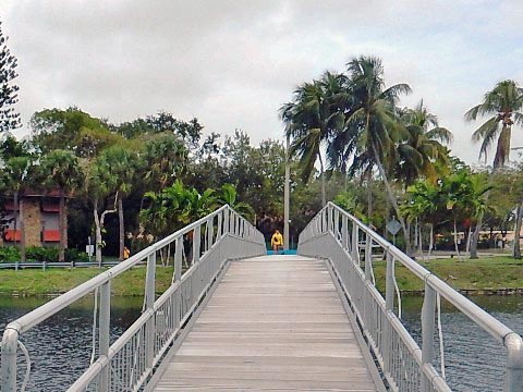
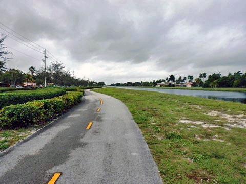
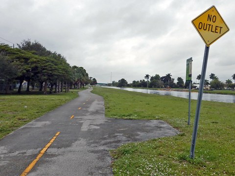
Snake Creek Trail (Miami-Dade Route #2) is a pleasant neighborhood trail along the Snake Creek Canal from Snake Creek Park (NE 16TH Ave., North Miami) at the south, to NW 15th Avenue (Miami Gardens) at the north. Used mostly by locals, the trail passes through residential areas and links several parks, with shopping and schools nearby. (Map link and photos below.)
Location: Miami-Dade (North Miami Beach)
Surface: Paved
Mileage: 6.5 miles
Nearby points of interest: The Ancient Spanish
Monastery, Hard Rock Stadium (Miami Dolphins)
Page Summary:
- Biking on Snake Creek Trail
- Trail North from Snake Creek Park - More Information and Resources
Biking on Snake Creek Trail... Comments and Photos
Trail North from Snake Creek Park
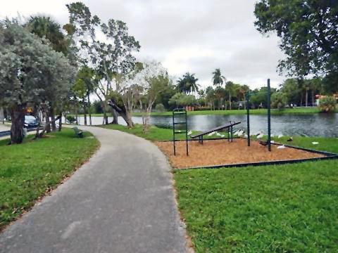
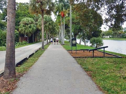
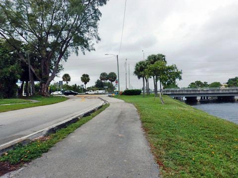
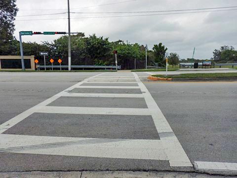
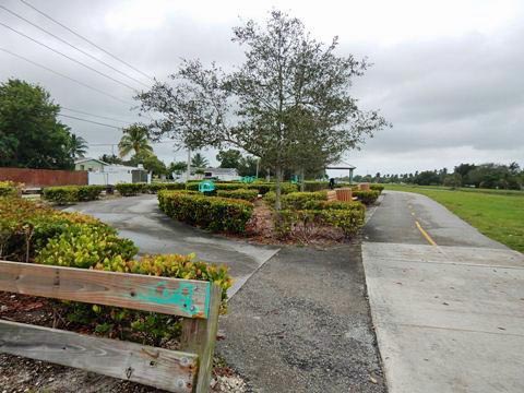
At the south end, the trail runs on both sides of the canal (along S. Glades Dr. and North Glades Drive), a few bridges link the two before it proceeds as one on the south side of the canal from NE 185th St. (Miami Gardens Drive). Picnic pavilions, benches, and fitness stations are provided along the way. Two "mini-parks" at the north end have fitness facilities and picnic pavilions. Parking is available at the North Miami Public Library, Barry Schreiber Promenade, or Sierra Park.
More Information and Resources
Nearby Biking:
Hollywood Beach Broadwalk
Oleta River State Park (eco-biking)
Southeast FL Region -
More trails plus Regional Overview map
Related Resources:
Find Trails by FL Region or Listed A - Z

100FloridaTrails.com... 100+ Florida Multi-use Bike Trails, Best for Safe, Fun Recreation and Fitness
Other Websites:
BikeOrlando.net
PaddleFlorida.net
BikeTripper.net
Copyright © 100FloridaTrails.com. All Rights Reserved.