100 Florida Trails®
Top FL Multi-use Bike Trails
Map Links & Photos Galore
Coast-to-Coast Updates
You are here >
Home >
Trails >
West Florida >
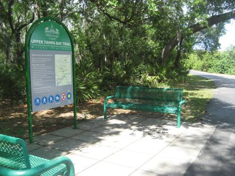
Upper Tampa Bay Trail
Reported: April 2018
Upper Tampa Bay Trail... West Florida Biking
Popular Tampa Area Bike Trail, Connects to Suncoast Trail
The Upper Tampa Bay Trail in northwest Hillsborough County is one of the more popular multi-use bike trails in the Greater Tampa Bay area. There are two separate sections, each with unique characteristics: the lower trail (south) is mostly suburban along a canal, with access to restaurants and shops, while the upper trail (north) runs mostly through a nature preserve ($2 fee), then connects to the Suncoast Trail. (Map link and photos below.)
Location: Hillsborough County (Tampa, Odessa)
End Points: South section: Old Memorial (Montague Street) to Peterson Park;
North section: Van Dyke Road to Suncoast Trail (Veterans Expressway)
Mileage: South section, 8 miles; north
section, 4.5 miles
Surface: Asphalt
Trailheads: Old Memorial, Channel Park, Wilsky,
Ehrlich Road, Peterson Road Park, Lutz Lake Fern Road
Nearby points of interest: Big Cat Rescue,
Rocky Trails Creek Nature Preserve, Brooker Creek Preserve
Bike Shops/Rentals:
Citrus Park Bikes
Page Summary:
- Biking the Upper Tampa Bay Trail
- Lower Section (south) - 8 Miles
- Old Memorial Trailhead, Channel Park Trailhead, Wilsky Trailhead, Ehrlich Trailhead, Peterson Park Trailhead - Upper Section (north) - 4.5 Miles
- Brooker Creek Preserve, Lutz Lake Fern Trailhead, Suncoast Trail - More Information and Resources
Biking the Upper Tampa Bay Trail... Comments and Photos
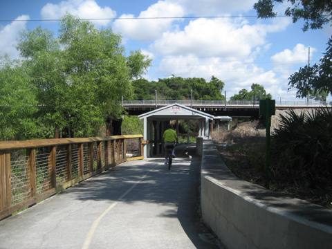
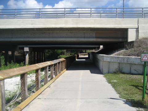
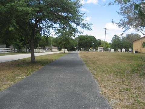
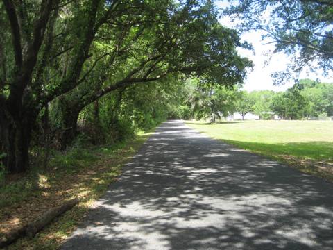
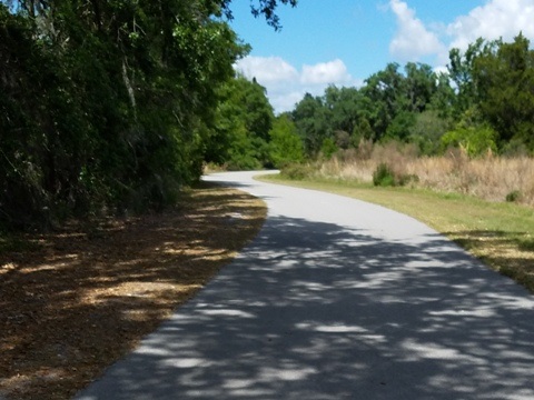
We visit the two separate paved sections. Although near residential and commercial areas in parts, the trail is mostly set back and retains a remote feel, with little road noise. Well maintained, underpasses and a bridge at busy roads make biking more fun. Cold water dispensers along the trail are nice, as there is little shade.
Lower Section (South) - 8 Miles
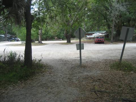
Old Memorial to Channel Park Trailhead
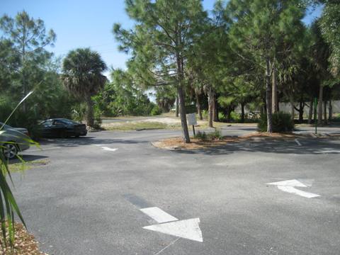
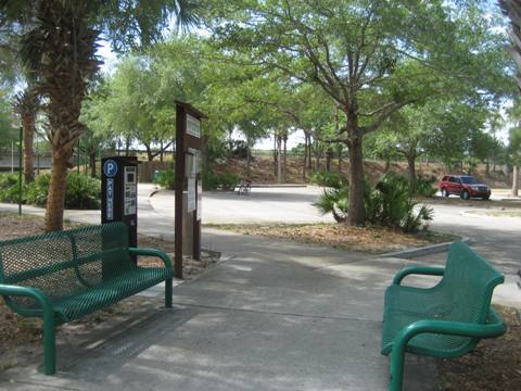
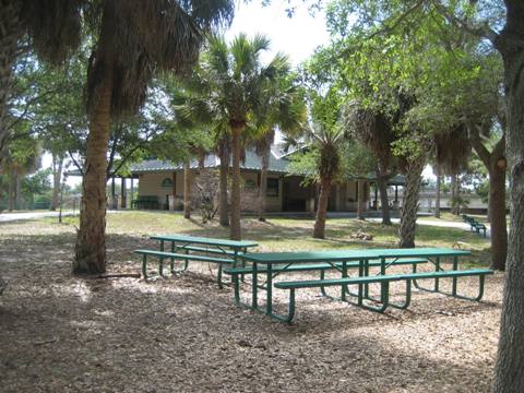
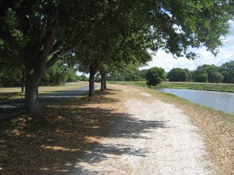
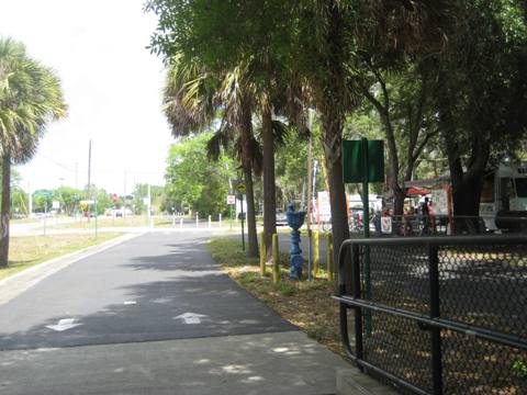
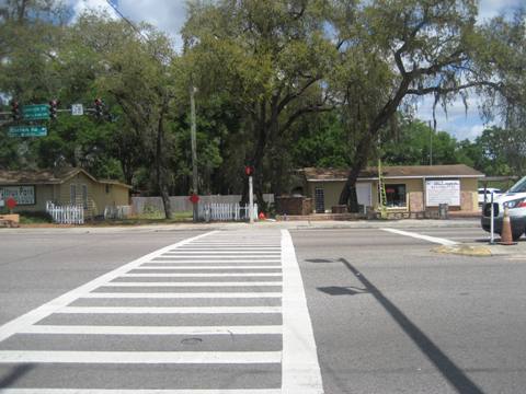
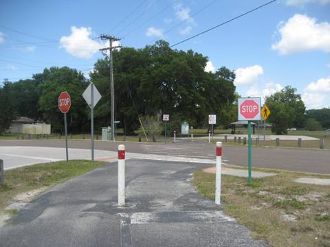
The trail starts with parking at Old Memorial Trailhead and runs along Channel A (an irrigation canal) to Channel Park Trailhead. There's a crosswalk at busy Waters Ave., or continue to the underpass and go under the road to Channel Park. At the trailhead are parking, restrooms, water and drink machines, plus an equestrian staging area.
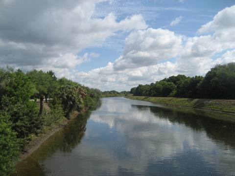
Channel Park to Wilsky Trailhead
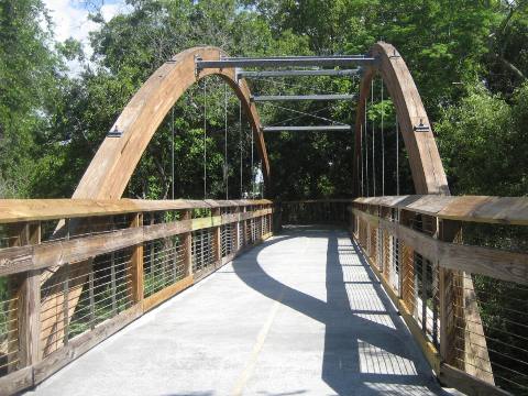
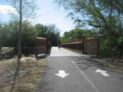
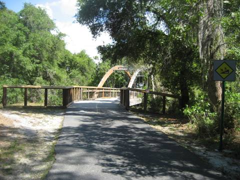
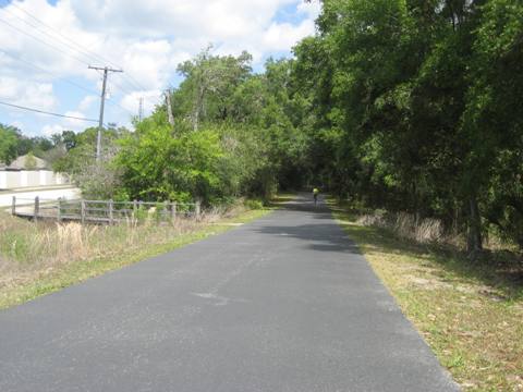
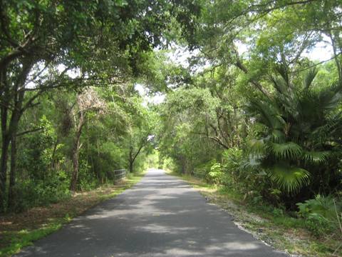
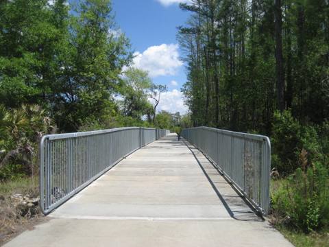
Past Channel Park, the trail runs through a partially shaded section, over a scenic wooden bridge at Rocky Creek, under the railroad trestle, and another underpass at Linebaugh Rd. The trail comes to a tee, a leg leads to the Wilsky Trailhead, which has parking, restrooms and water.
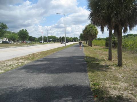
Wilsky to Ehrlich Trailhead
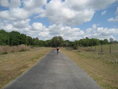
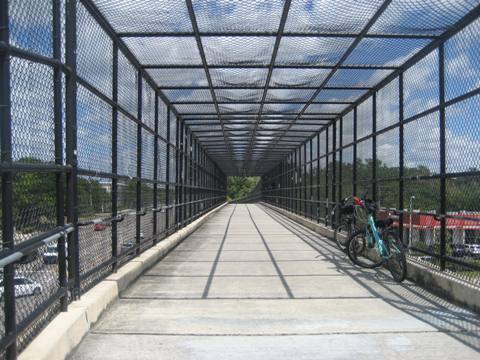
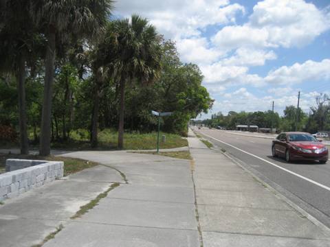
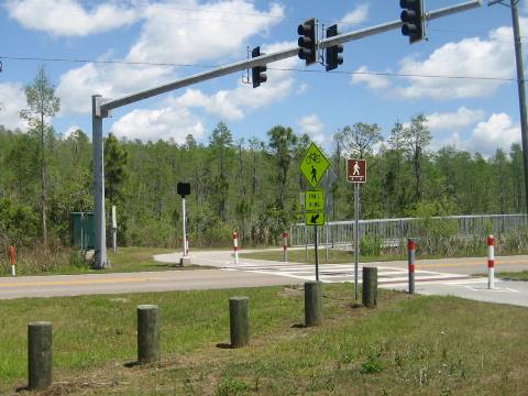
From Wilsky Trailhead, the trail continues with some canopy but also paralleling Veterans Highway. Rocky Creek Trails Nature Preserve is a nice stop along the way. Past a bike shop, the busiest section is next - a bridge crosses Gunn Highway and Citrus Park Drive where there are a number of restaurants and a mall available. The trail follows Gunn Hwy. then veers off through canopy to Ehrlich Road with another bike shop and restaurants nearby. The Ehrlich Trailhead is behind the bike shop, with parking and water.
Ehrlich to Peterson Park
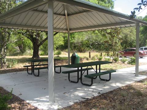
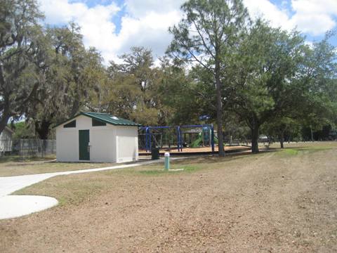
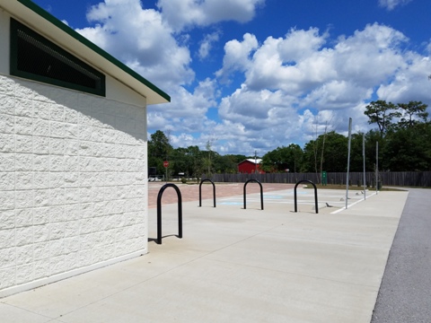
A block west of the trail at Gunn Hwy. is a crosswalk to cross Ehrlich Road. The trail continues through a more rural area to Peterson Park Trailhead. Here are parking, restrooms, picnic and playground. The lower trail ends here, with plans to eventually link to the upper trail.
Upper Section (north) - 4.5 Miles
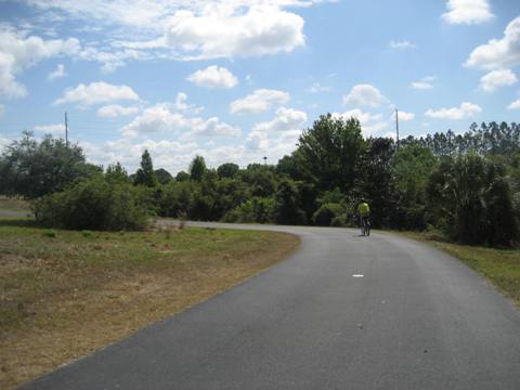
Van Dyke Road to Lutz Lake Fern Trailhead
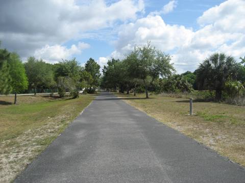
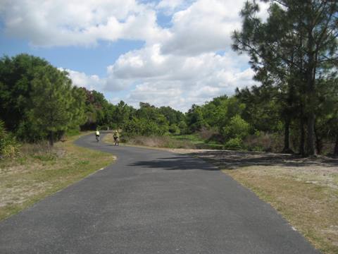
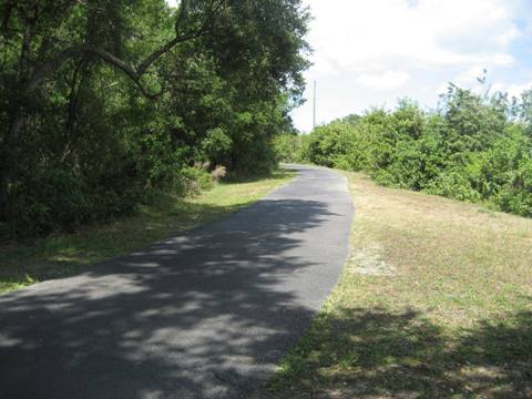
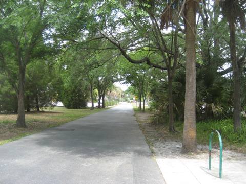
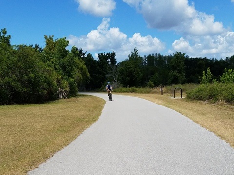
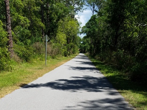
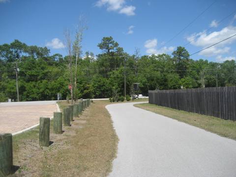
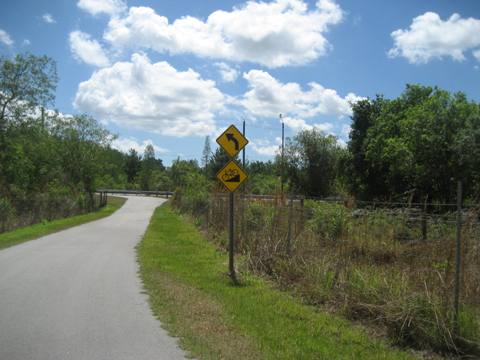
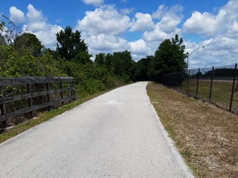
Eventually, the trail will link to the lower section here. Starting at Van Dyke Road north are Keystone Park, a library and a school. The trail then enters Brooker Creek Preserve. Continuing mostly unshaded, the trail runs north and then east to the Lutz Lake Fern Trailhead.
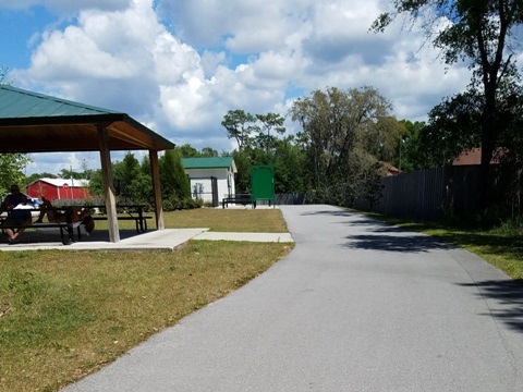
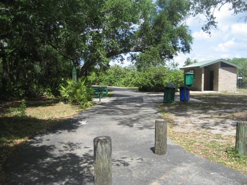
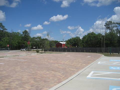
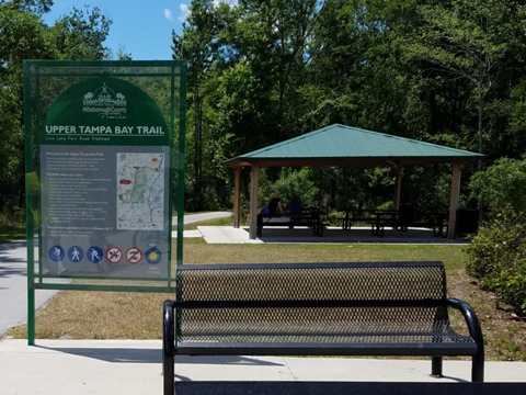
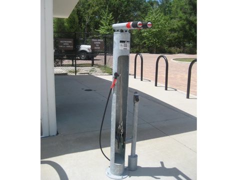
Lutz Lake Fern Trailhead
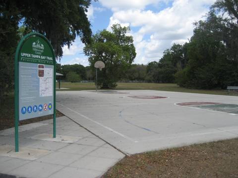
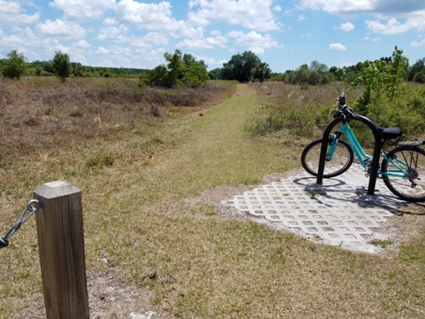
Lutz Lake Fern Trailhead has parking, restrooms, water, picnic and a fix-it station. It also serves as a trailhead for the Suncoast Trail, just a mile further.
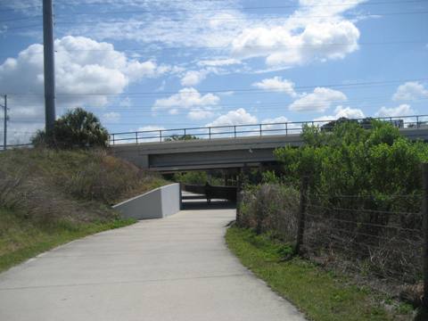
Lutz Trailhead north to Suncoast Trail
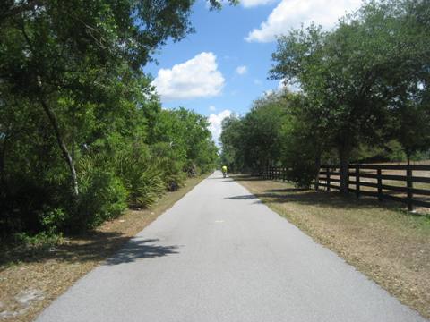
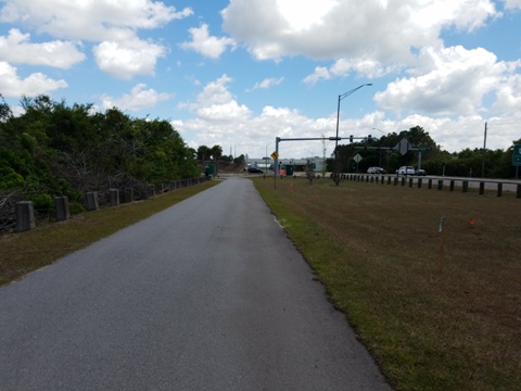
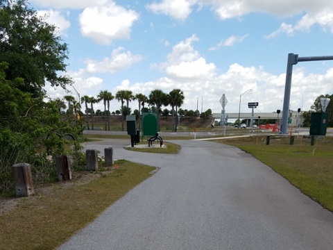
Continuing unshaded through Brooker Creek Preserve are some boardwalks, plus a crosswalk across Lutz Lake Fern Road. The Upper Tampa Bay Trail links with the Suncoast Trail at Suncoast Highway for another 40+ miles of biking.
The Suncoast Trail links with the Starkey Wilderness Trail and becomes part of the Florida Coast-to-Coast Trail, making this an even more awesome ride - especially when the two Upper Tampa Bay Trail sections are linked.
More Information and Resources
Nearby Biking:
Suncoast Trail
Starkey Wilderness Trail
Starkey Blvd Trail
Pinellas Trail
Town-n-Country Greenway
West FL Region - More trails
plus Regional Overview map
Related Resources:
Find Trails by FL Region or Listed A - Z

100FloridaTrails.com... 100+ Florida Multi-use Bike Trails, Best for Safe, Fun Recreation and Fitness
Other Websites:
BikeOrlando.net
PaddleFlorida.net
BikeTripper.net
Copyright © 100FloridaTrails.com. All Rights Reserved.