100 Florida Trails®
Top FL Multi-use Bike Trails
Map Links & Photos Galore
Coast-to-Coast Updates
You are here >
Home >
Trails >
South FL-East >
Lake Okeechobee Scenic Trail >
Northwest section
Latest update: November 2025
Lake Okeechobee Scenic Trail - Northwest Section
Moore Haven to Okeechobee - 31 miles
This section runs from Moore Haven back to the Kissimmee River at Okeechobee. This section is not lakeside, but through marshlands. Restrooms are available at the Harney Pond Canal Recreation Area. (Map link and photos below.)
Trail Map link...
Lake Okeechobee Scenic Trail
View Larger Map
Page Summary:
Biking on LOST - Northwest - Moore Haven to Okeechobee - 31 miles
- Moore Haven to Lakeport
- Moore Haven-west
- Fisheating Creek
- Lakeport - Harney Pond Canal to Kissimmee River
- Harney Pond Canal (Sam Griffith Overlook)
- Dyess Ditch
- Indian Prairie
Moore Haven to Harney Pond Canal - 14 miles
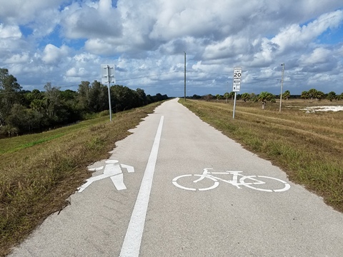
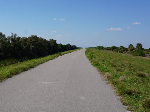
This section is paved. Portions of the trail run roadside.
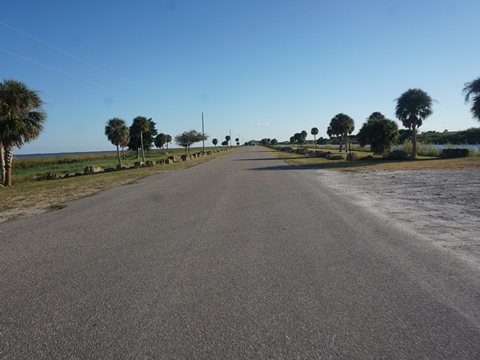
Moore Haven to Lockport (10 miles)
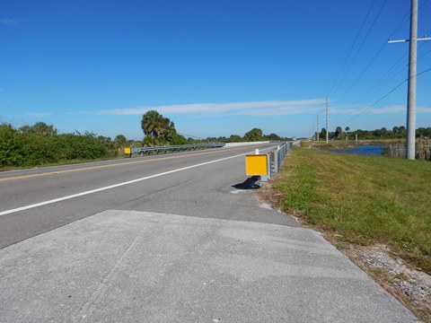
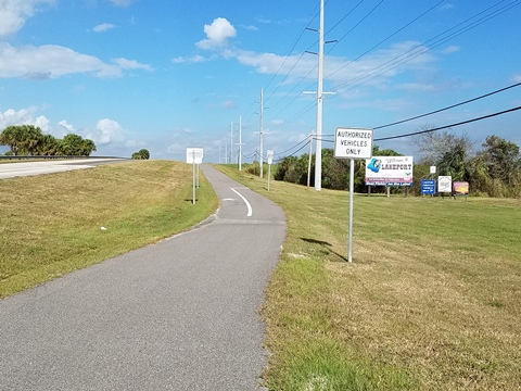
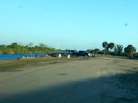
Moore Haven - West access
(26.84105, -81.08954)
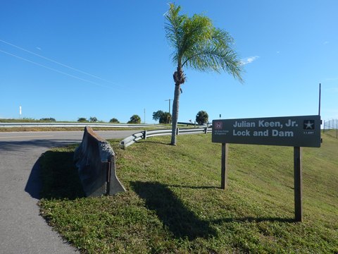
- After crossing the Caloosahatchee Canal, the trail continues along US 27 about 1/4 mile before cutting off onto local roads. Follow First St. to Canal St. and the entrance to Moore Haven Lock and Dam, go up the ramp onto the dike to continue on the trail.
- There is no formal parking here, but we did observe some vehicles parked on the grass along the side of the road at the bottom of the ramp.
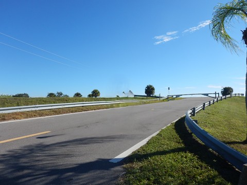
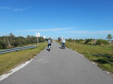
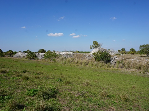
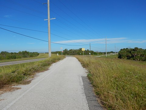
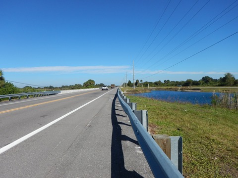
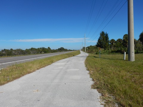
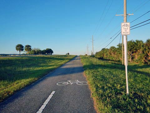
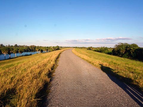
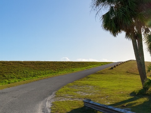
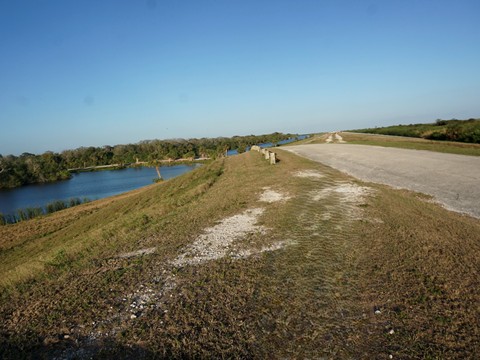
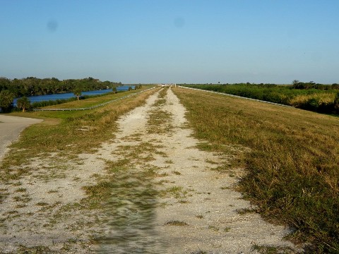
On the Dike
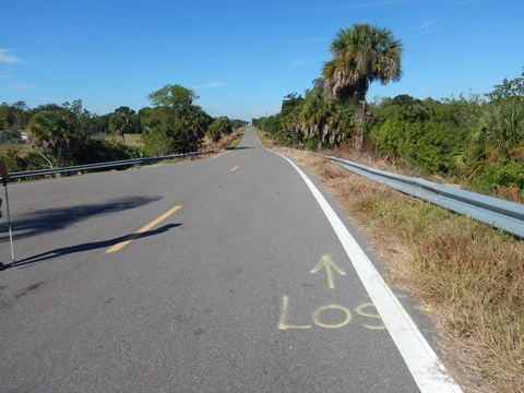
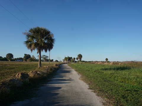
Leaving Moore Haven the trail runs on the dike along the rim canal with broad marsh views. The first 3.5 miles is removed from the road and quiet, then draws closer to SR 78 for the next 3 miles.

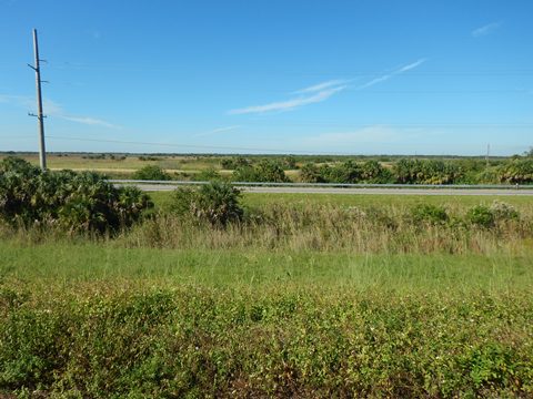
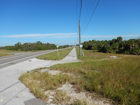
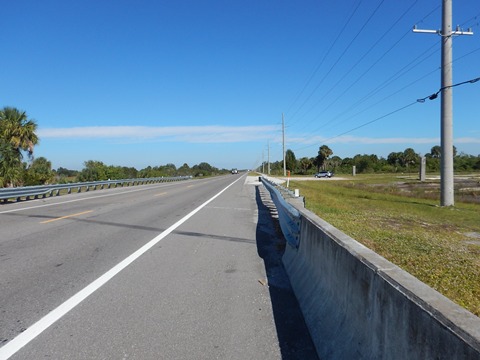
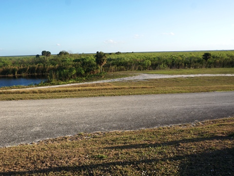
Roadside
At Fisheating Creek, the trail descends off the dike to run 3.5 miles alongside the road, partly as a bike lane. This section passes two boat ramps along the creek, providing access to Lake Okeechobee.
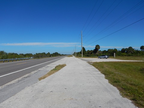
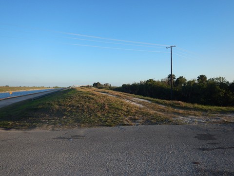
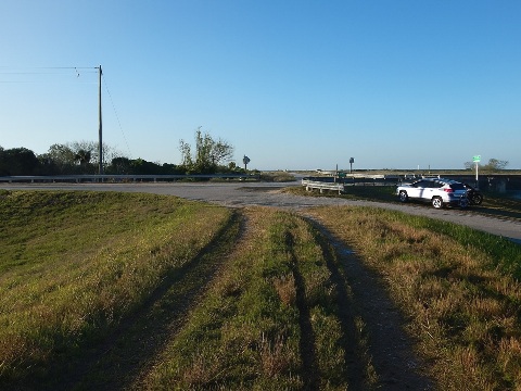
Lockport Boat Ramp to Harney Pond Canal Park (4 miles)
(26.96866, -81.1179) to (26.99665, -81.06804)
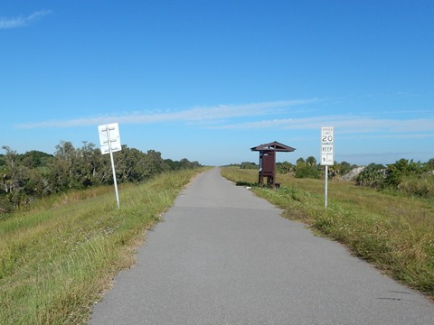
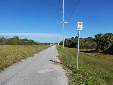
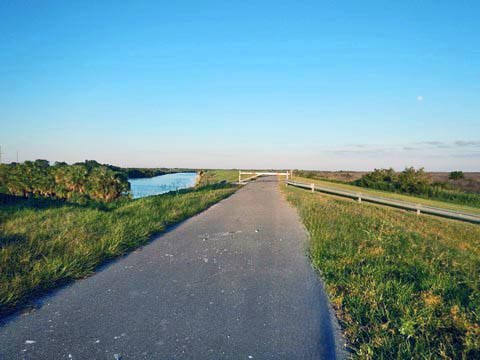
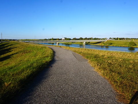
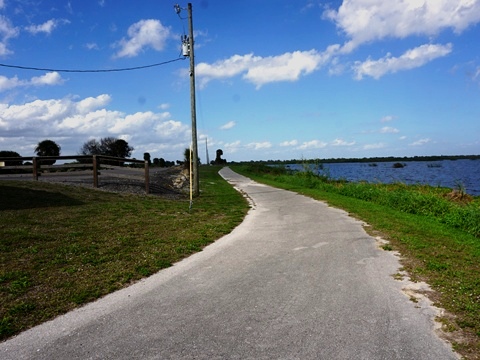
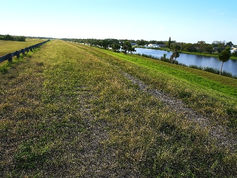
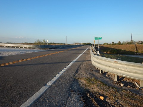
- After passing the Lockport Boat Ramp, the trail leaves the road and goes back up onto the dike passing the "Welcome to Lakeport" sign. The trail runs along the canal, paved, with marsh views. Along the way is the S131 lock.
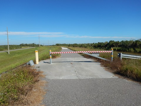
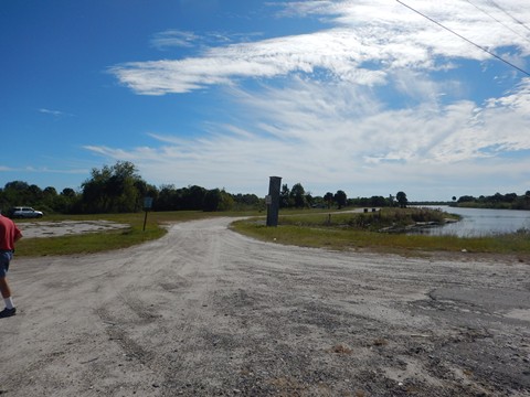
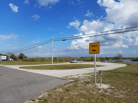
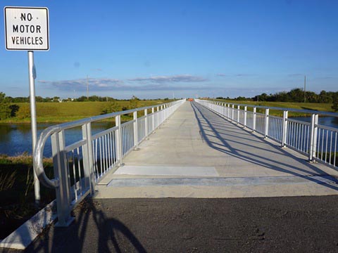
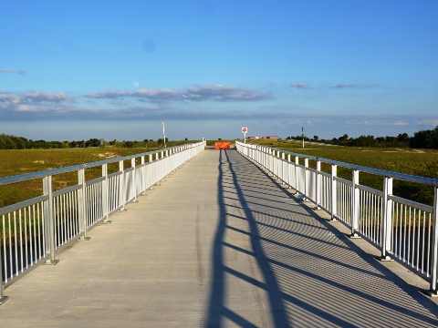
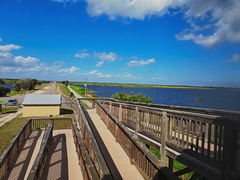
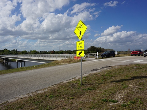
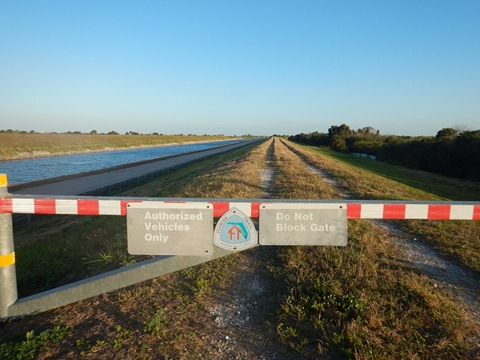
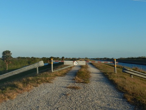
- Approaching SR 78, a bridge (Maxwell's Bridge) has been constructed over the Harney Pond Canal to the park. Across from the bridge, the trail continues unpaved.
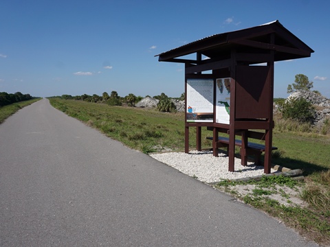
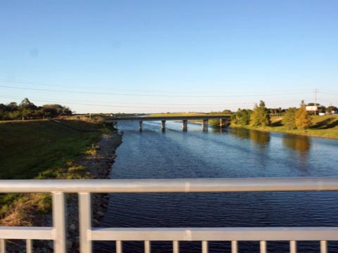
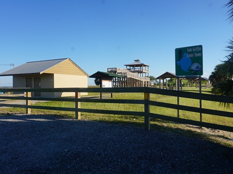
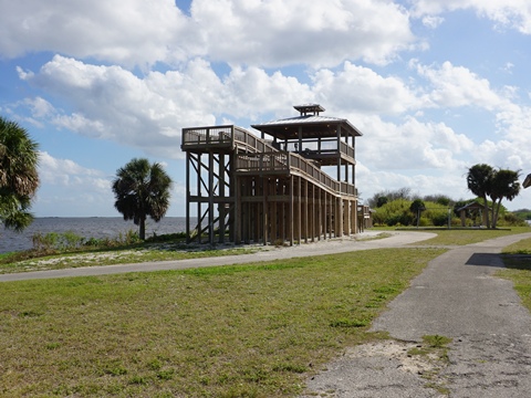
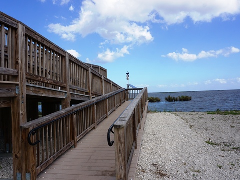
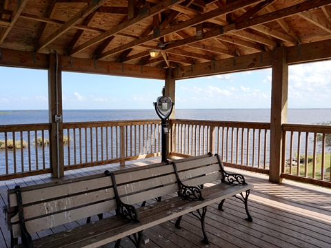
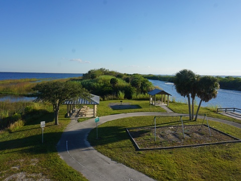
- Harney Pond Canal Recreation and Picnic Area (formally known as Margaret Van De Velde Park) is a good stop with parking, restrooms, picnicking, and fishing pier. Popular for fishing, the boat launch gives access to the Harney Pond Canal and Lake Okeechobee. The Sam Griffin Scenic Tower has some of the best views of Lake Okeechobee, and is good for birdwatching. A paved trail runs along the canal the length of the park between the bridge and tower (about 2/10 mile).
On the Trail
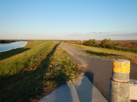
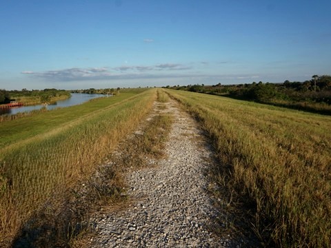
Harney Pond Canal to Kissimmee River - 17 miles
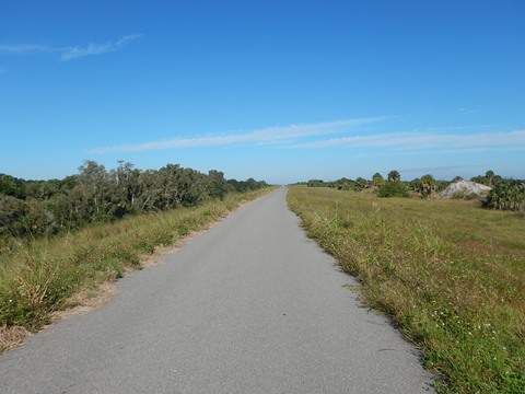
This section is unpaved along the rim canal, with marsh views. We visited access points.
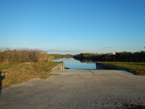
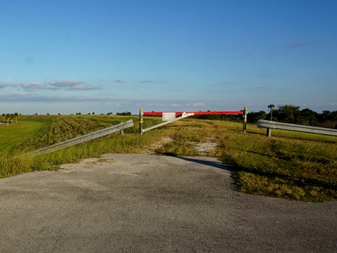
Dyess Ditch (Bare Beach Recreation Area)
(27.0029, -81.0522)
Access is off SR 78 at Dyess Rd., about 1 mile from the Harney Pond Canal. The access ramp from the road is paved, crossing the trail and continuing down to dirt parking at the boat ramp, no other facilities. The trail remains unpaved except at the road crossing.
Indian Prairie Canal
(27.06114, -80.97226)
Access is off SR 78 at the Indian Prairie Canal, about 8 miles from Dyess Ditch. Dirt parking is on the south side of the canal at the boat ramp (no other facilities). Parallel to the paved access road, the trail detours out to SR 78 to cross the canal, then continues along the canal on the north side.
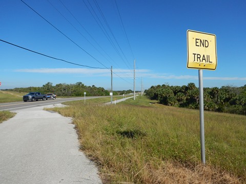
Indian Prairie to Kissimmee River (8 miles)
The trail runs, unpaved, off the road and away from the lake along the Buckhead Ridge, with marsh views, to the mouth of the Kissimmee River. It then descends to roadside to cross the river via a bike lane. Across the river, parking and restrooms are available at the Oke-tantie Recreation Area and C. Scott Driver Recreation Area.
Find Trails by FL Region or Listed A - Z

100FloridaTrails.com... 100+ Florida Multi-use Bike Trails, Best for Safe, Fun Recreation and Fitness
Other Websites:
BikeOrlando.net
PaddleFlorida.net
BikeTripper.net
Copyright © 100FloridaTrails.com. All Rights Reserved.