100 Florida Trails®
Top FL Multi-use Bike Trails
Map Links & Photos Galore
Coast-to-Coast Updates
You are here >
Home >
Trails >
South FL-East >
Lake Okeechobee Scenic Trail >
Northeast section
Latest update: February 2026
Lake Okeechobee Scenic Trail... Northeast Section
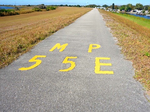
Okeechobee to Port Mayaca - 27 miles
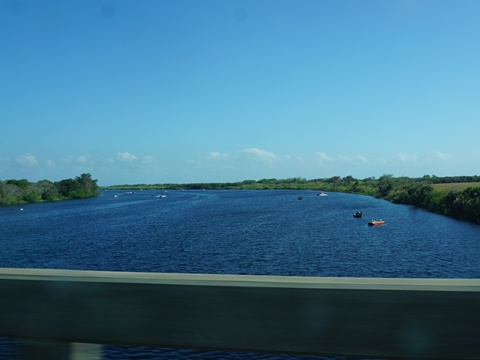
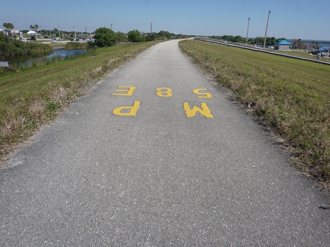
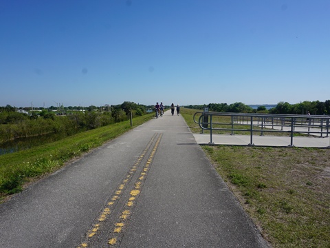
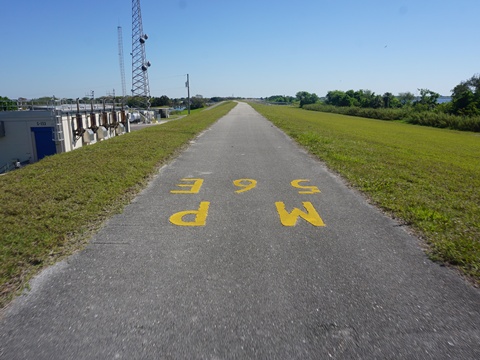
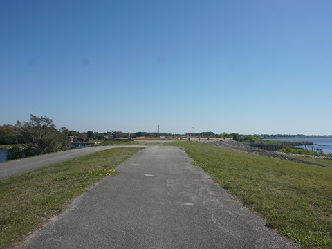
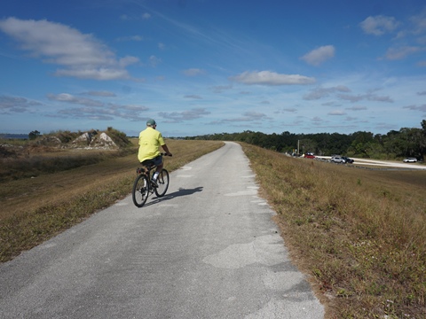
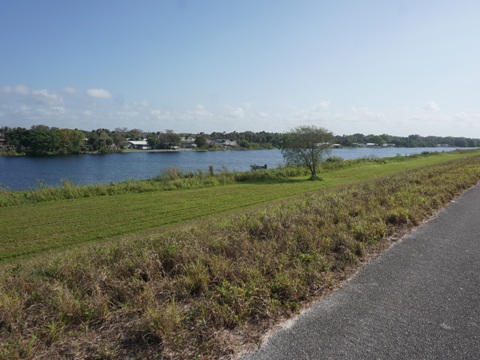
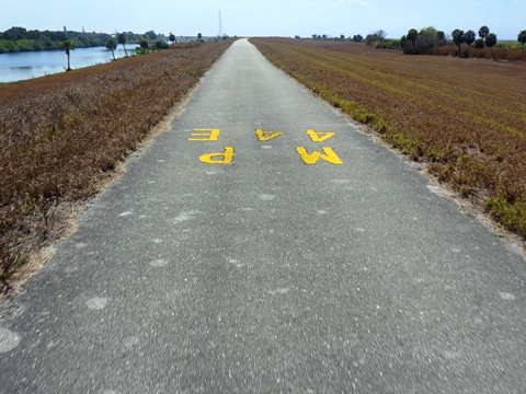
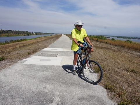
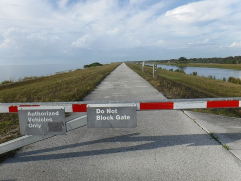
This section of LOST runs from the Kissimmee River at Okeechobee to Port Mayaca. The trail here is paved, running mostly along the shore of Lake Okeechobee with some of the best lake views. On the canal side, trailer parks and other development can be seen, along with agricultural fields. Trailheads with restrooms are at Okee-Tantie Recreation Area and Cliff J. Betts Recreation Area. There is one break in the trail at Taylor Creek, requiring a long roadside detour. Thus, most recreational bikers divide this section into seperate rides. (Map link and photos below.)

Trail Map link...
Lake Okeechobee Scenic Trail
View Larger Map
Page Summary:
Biking on LOST - Northeast - Okeechobee to Port Mayaca - 27 miles
- Okeechobee to Taylor Creek
- Kissimmee River to Okeechobee Trailhead
- Okeechobee Trailhead to Taylor Creek - Nubbin Slough to Port Mayaca-north
- Nubbin Slough Access
- Henry Creek Access
- Chancey Bay Access
- Port Mayaca-north
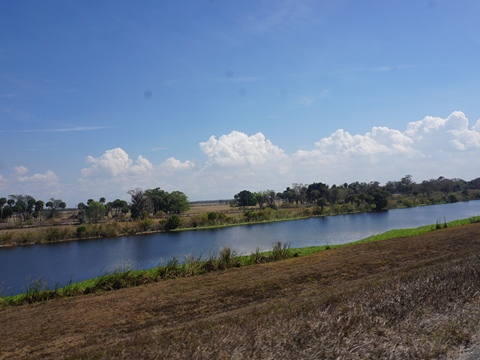
Kissimmee River to Taylor Creek - 7 miles
For casual recreational bikers looking for a scenic paved ride with diverse views, we recommend this 7-mile section (14-miles round-trip). Trailheads with facilities are at the Kissimmee River, and in Okeechobee, with many nearby amenities.
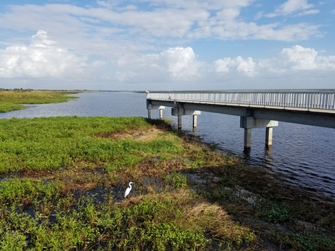
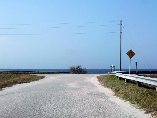
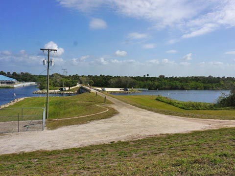
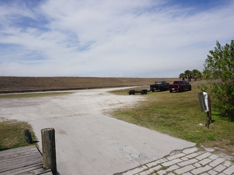
Kissimmee River to Okeechobee Trailhead (4 miles)
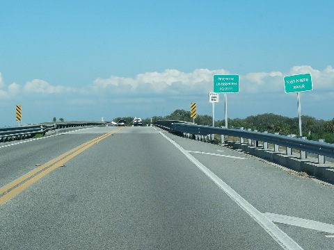
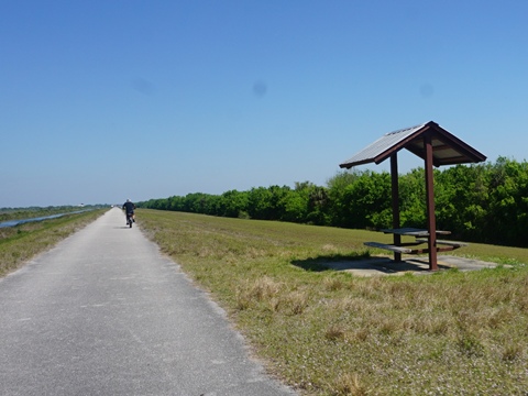
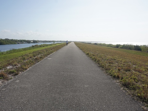
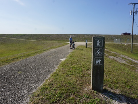
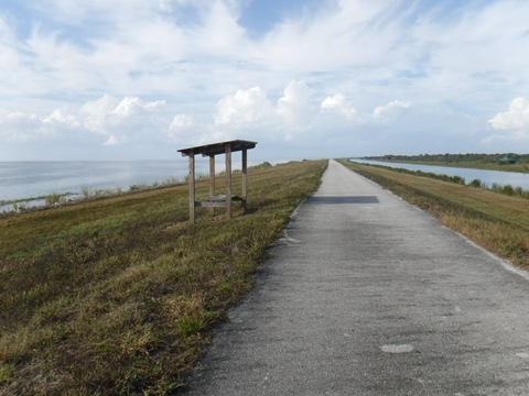
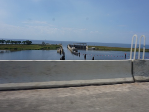
The trail crosses the Kissimmee River along the road shoulder, then continues along SR 78 for about 4/10 mile. Along the way, it passes the Okee-Tantie and C. Scott Driver Recreation Areas before turning off onto the dike. On the dike are a covered pavilion with bench, information kiosk, and small dirt parking area. Back-up parking is at the recreation areas.
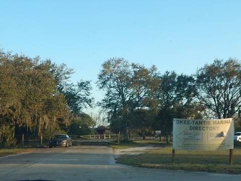
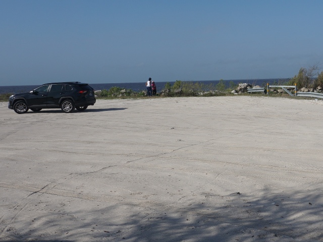
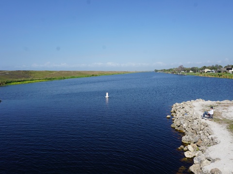
- The Okee-Tantie Recreation Area is at the mouth of the Kissimmee River, with scenic lake views. It has parking, restrooms, picnicking, and a marina. Okee-Tantie is part of the Florida Birding Trail.
- C. Scott Driver Recreation Area, along the Kissimmee River across SR 78, has parking, restrooms, and boat launch. It's popular for fishing and birdwatching.
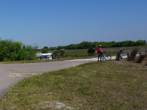
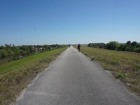
Roadside at Kissimmee River
The trail crosses the Kissimmee River along the road shoulder then runs along SR 78 for about 4/10 mile, past the Okee-Tantie and C. Scott Driver Recreation Areas. Turn onto the dike.
- On the dike are a covered pavilion with bench, information kiosk, and small dirt parking area. Back-up parking is at the recreation areas.
Okee-Tantie Recreation Area
The Okee-Tantie Recreation Area is at the mouth of the Kissimmee River, with scenic lake views. It has parking, restrooms, picnicking, and a marina. It's part of the Florida Birding Trail.
- The name comes from the small historic settlement of Tantie, founded in 1896. As the area grew, it was eventually re-named to Okeechobee.


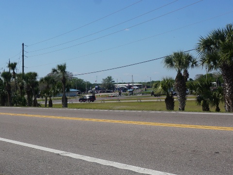
C. Scott Driver Recreation Area
C. Scott Driver Recreation Area, is across SR 78 from the trail. Located along the Kissimmee River, it's popular for fishing and birdwatching.
- Parking, restrooms, and boat launch are available.
- C. Scott Driver was a fishing guide and environmental activist who advocated for Lake Okeechobee clean-up.


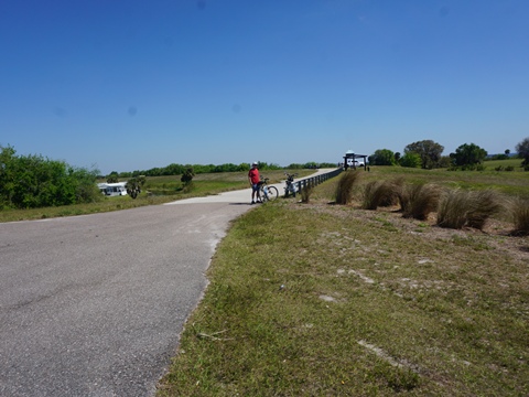
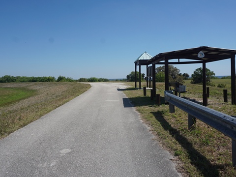
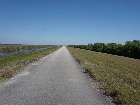
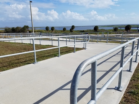
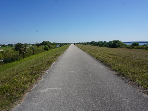
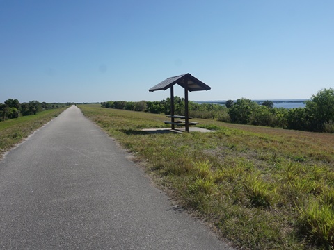
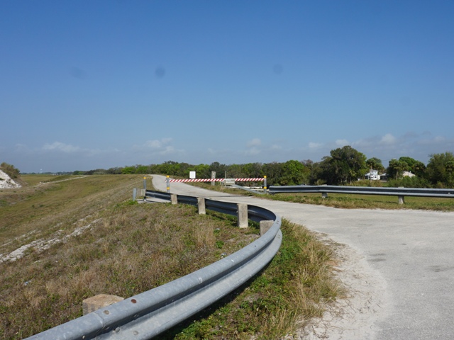
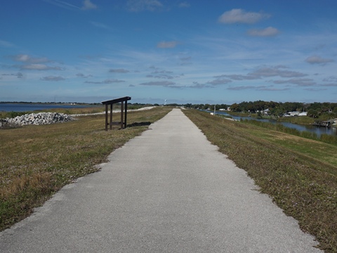
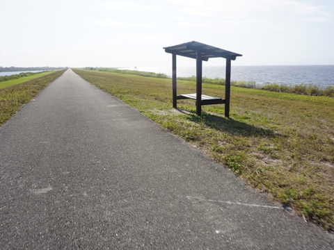
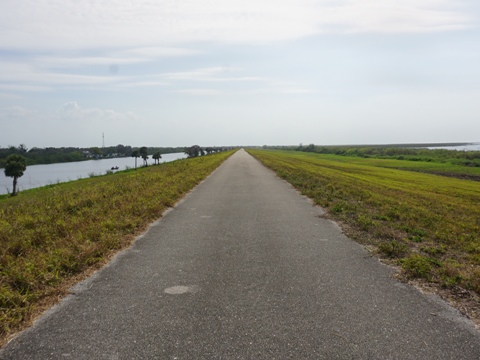
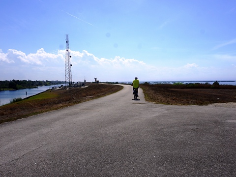
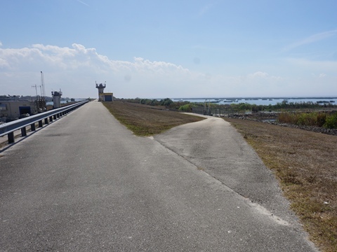
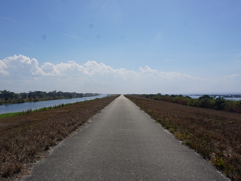
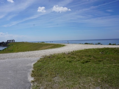
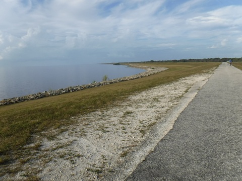
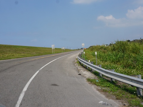
On the Dike to Okeechobee Trailhead
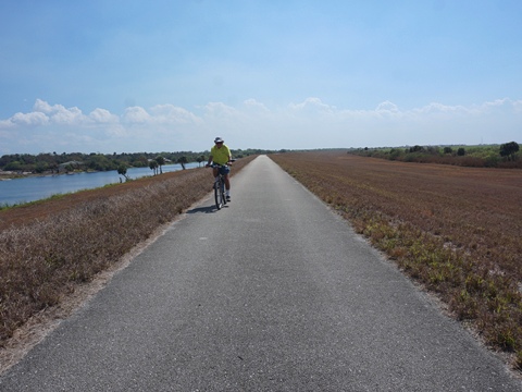
The trail runs along the canal, paved, with lake and marsh views and covered benches for resting. This is a good area for birdwatching.
- Mobile homes and RV parks are across the canal paralleling SR 78 for the first 1.5 miles, then the trail runs through marsh. Approaching the Okeechobee trailhead, it emerges lakeside with scenic lake views.
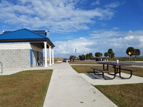
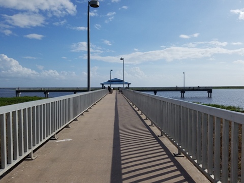
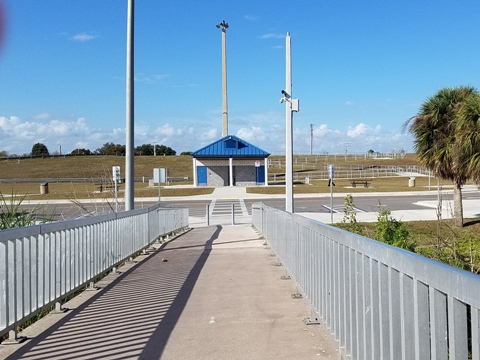
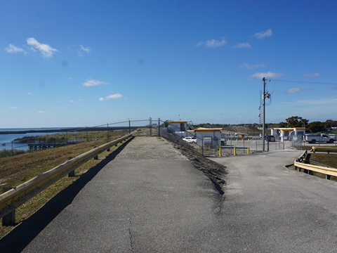
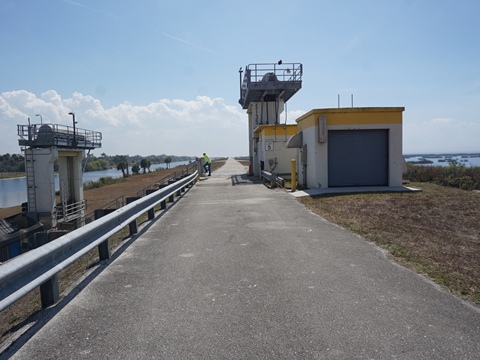
Okeechobee Trailhead
(27.19634, -80.83001)
The Cliff J. Betts Recreation Area is at the northern tip of Lake Okeechobee in the City of Okeechobee . This is a nice facility with parking, restrooms, fishing pier, and picnicking. The 400 foot pier is a popular sunset destination.
- The trail runs on the dike overlooking the park and lake. The long accessibility ramp provides easy trail access for bikers.
Go down the entry road, across the canal, into Okeechobee
along US 441/98 for
food, accommodations, shopping.
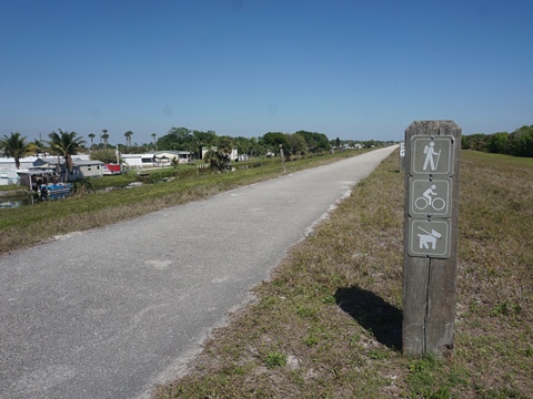
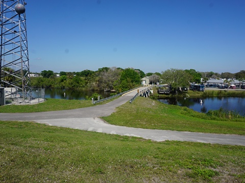
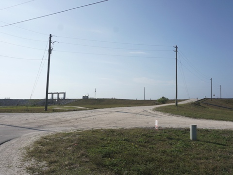
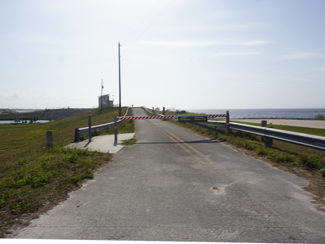
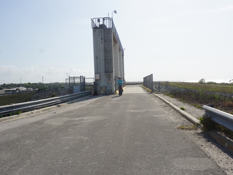
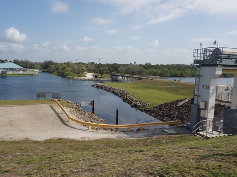
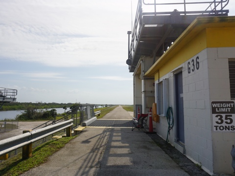
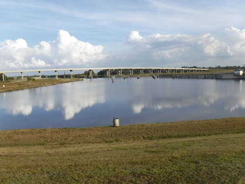
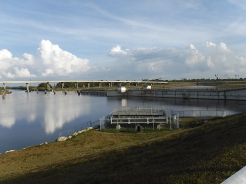
Okeechobee Trailhead to Taylor Creek (3 miles)
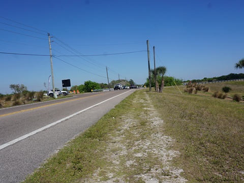
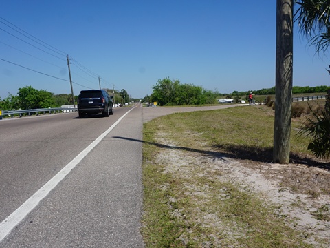
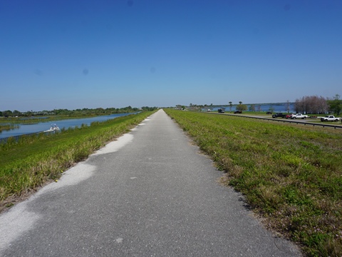
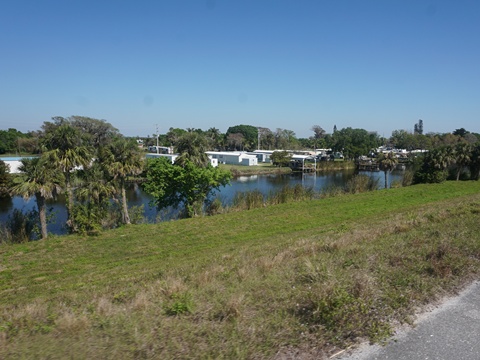
The trail to Taylor Creek is an easy ride some good lake views. On the canalside are businesses and mobile home parks.
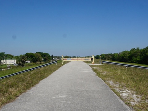
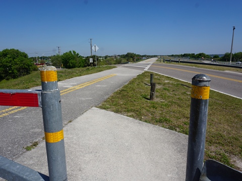
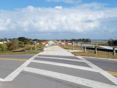
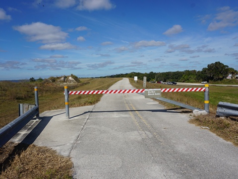
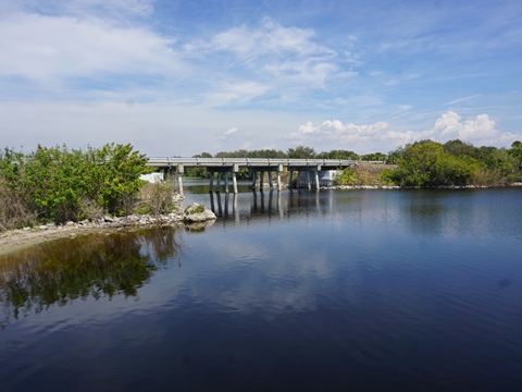
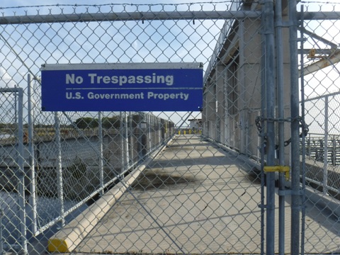
- At the lock, the trail detours onto the US 441/98 to cross Taylor Creek. (In the future, a pedestrian/ bike bridge is planned, hopefully sooner than later.)
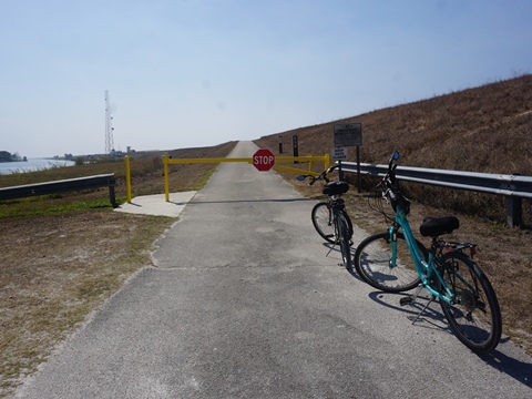
- Unfortunately, on the east side of Taylor Creek the county has blocked access back onto the trail. The detour is along busy US Hwy 441 - being very careful - for about 2.5 miles to Nubbin Slough Access. Most recreational bikers (including us) simply avoid this sketchy detour and divide the Northeast trail section into two or more rides.
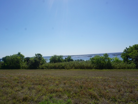
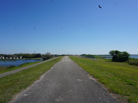
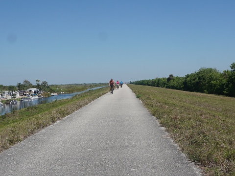
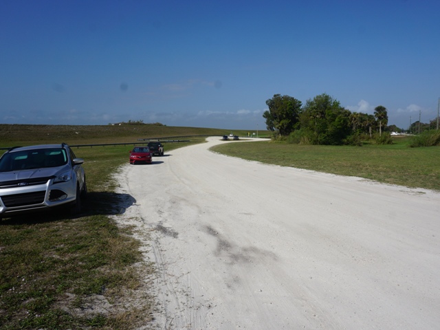
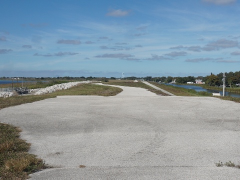
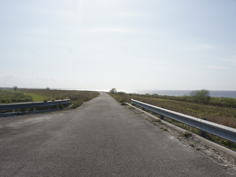
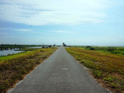
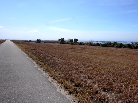
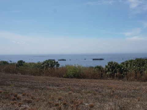
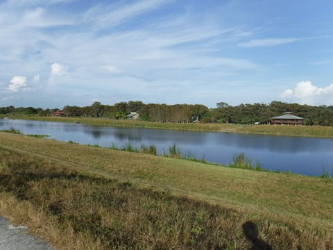
Nubbin Slough Access to Port Mayaca - 18 miles
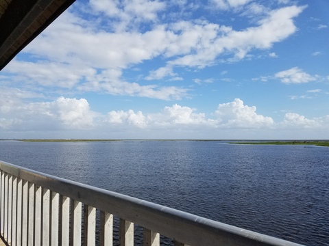
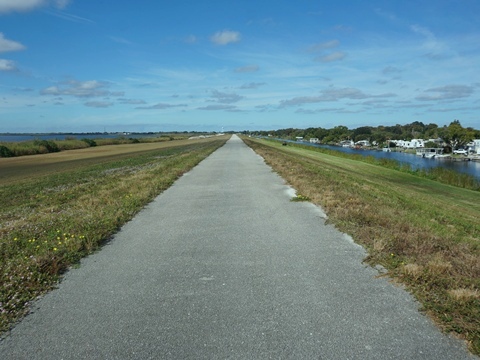
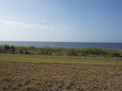
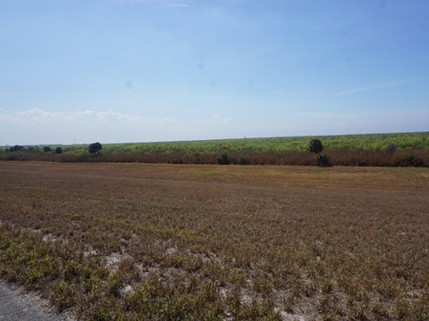
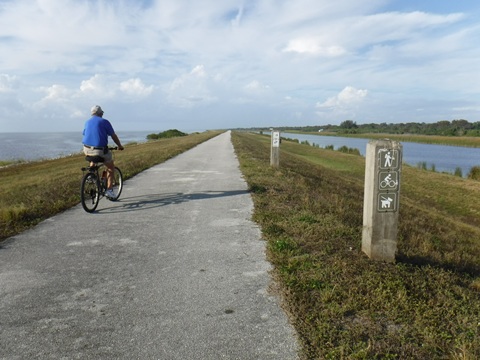
We particularly liked and recommend this portion of the trail, featuring some of the best lake views. The canal is wide and well removed from the road for a quiet ride. Across the canal becomes less developed and a lot of farmland. There are, however, no restrooms or other facilities so be prepared.
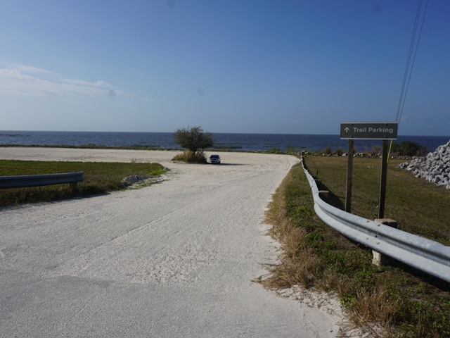
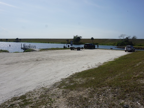
Nubbin Slough Access
(27.19428, -80.76359)
Nubbin Slough Access is located off US 441/98, with dirt parking, boat launch, and primitive campsite.
- There are two parking options: 1) just off the road, at the boat launch (to the right), or 2) lakeside, across the trail (good lake views, but very sandy).
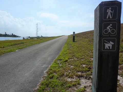
- The trail on the dike here is paved with expansive lake views. Across the canal are businesses, homes and RV parks. Lake and canal views are mostly unchanging.
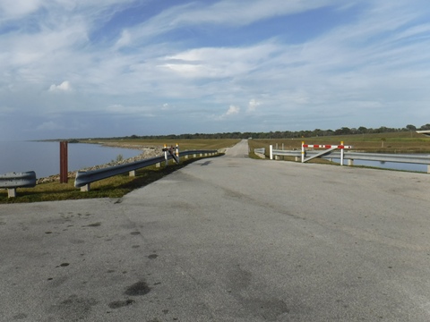
Nubbin Slough north to Taylor Creek (2.5 miles)
The trail running northwest ends at the lock at Taylor Creek - with access around the lock blocked, hopefully that bridge will be built someday.
Henry Creek Access
(27.16315, -80.71597)
Henry Creek Access
Access is off US 441/98. Dirt parking and a boat ramp (no other facilities) are located off the road. The trail is across the canal, over a bridge and up a ramp to the trail.
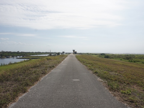
Henry Creek to Chancey Bay (7 miles)
From the north, the trail crosses the lock at Henry Creek. The ramp runs down to parking and US 441/98. Continuing south to Chancey Bay Access, the trail runs further off the lake with marsh views.
Chancey Bay Access
(27.0905, -80.6615)
Chancey Bay Access
Access is about 1/4 mile off US 441/98, across the canal. Grassy parking is at the boat ramp, then go up the paved ramp connecting to the trail on the dike.
Nearby is J&S Fish Camp, about 1/4 mile south along US 441/98. This is a popular spot for refreshments, with Gator Hole Tavern and food truck. Boat ramp, cabins and RV site rentals also available.
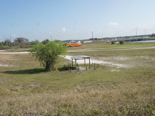
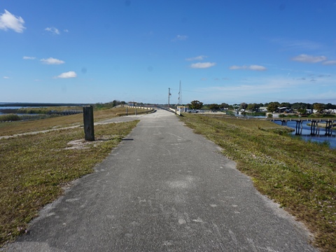
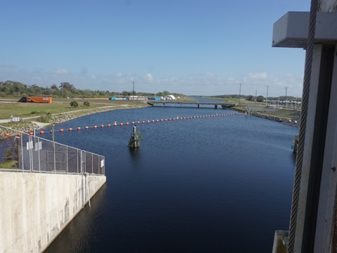
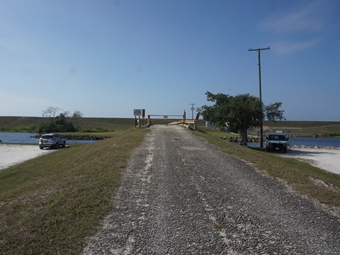
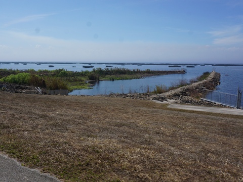
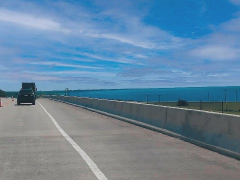
Chancey Bay to Port Mayaca-North (7 miles)
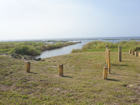
About 1/4 mile south, the trail crosses the lock. A primitive campsite is located lakeside. Lake views, and across the canal is mostly sugar cane or cattle.
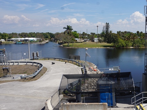
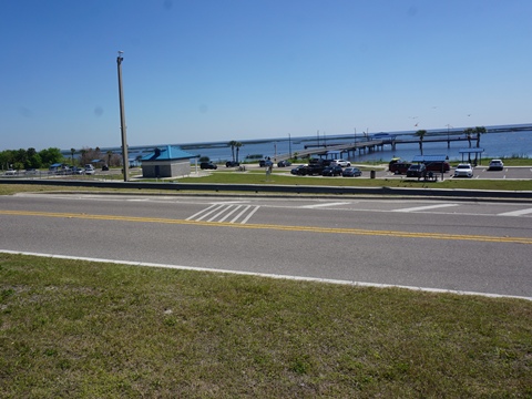
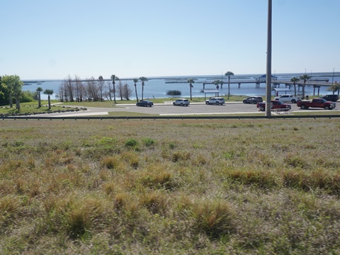
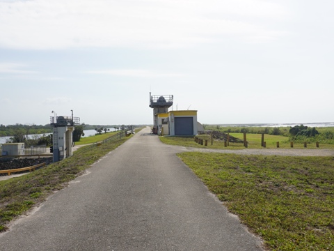
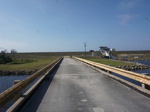
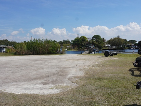
Port Mayaca - North side
(26.98638, -80.61912)
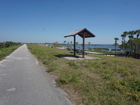
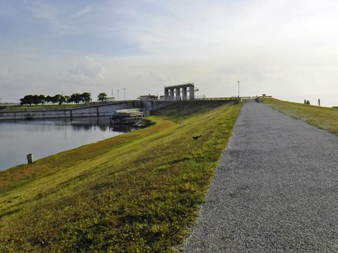
Port Mayaca Recreation Area
On the north side, located at the Port Mayaca Recreation Area and Port Mayaca Lock and Dam complex, the trail is paved, with good lake views. This is at the junction with the St. Lucie Canal. Dirt parking, no facilities.
Continue to Southeast
Section
Port Mayaca-South to South Bay
Find Trails by FL Region or Listed A - Z

100FloridaTrails.com... 100+ Florida Multi-use Bike Trails, Best for Safe, Fun Recreation and Fitness
Other Websites:
BikeOrlando.net
PaddleFlorida.net
BikeTripper.net
Copyright © 100FloridaTrails.com. All Rights Reserved.