100 Florida Trails®
Top FL Multi-use Bike Trails
Map Links & Photos Galore
Coast-to-Coast Updates
You are here >
Home >
Trails >
South FL-East >
Lake Okeechobee Scenic Trail >
Southeast Section
Latest update: November 2025
Lake Okeechobee Scenic Trail... Southeast Section
Port Mayaca-south to South Bay - 25 miles
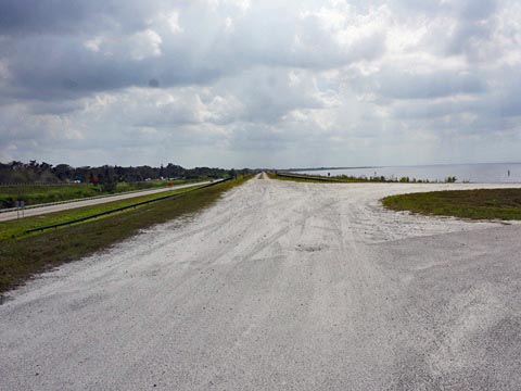
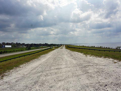
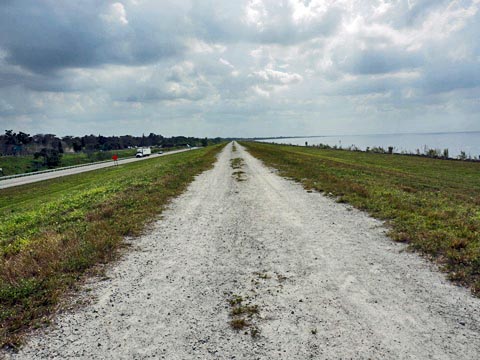
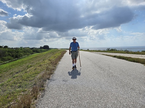
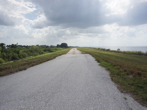
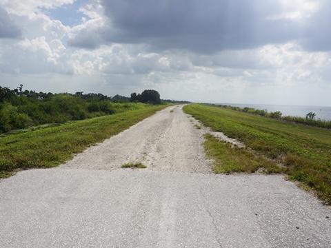
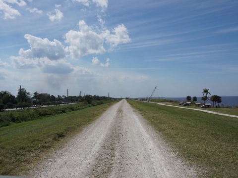
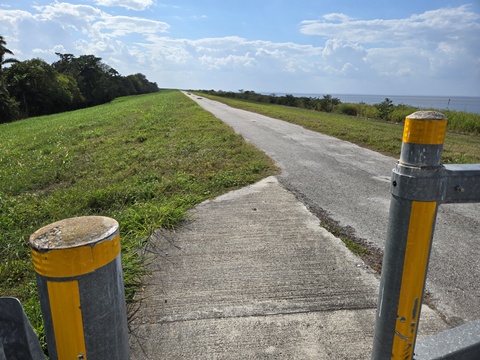
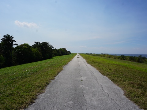
This section of LOST starts at Port Mayaca and runs south to South Bay Access. Again, this is mostly unchanging scenery - lake views, and across the canal mostly sugar cane or cattle. The trail is unpaved from Port Mayaca to Pahokee. Trailheads with restrooms are at Pahokee, Paul Rardin Park and South Bay. (Map link and photos below.)
Trail Map link...
Lake Okeechobee Scenic Trail
View Larger Map
Page Summary:
Biking on LOST - Southeast - Port Mayaca-south to South Bay - 25 miles
- Port Mayaca-south to Pahokee
- Port Mayaca-south
- Canal Point Recreation Area - Pahokee Trailhead to Rardin Park Trailhead
- Pahokee Trailhead
- Pahokee to Rardin Park
- Trail at Rardin Park
- Rardin Park - Rardin Park to South Bay
- Belle Glade-Torry Island
- South Bay
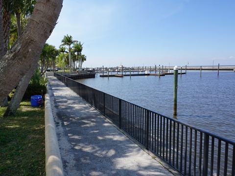
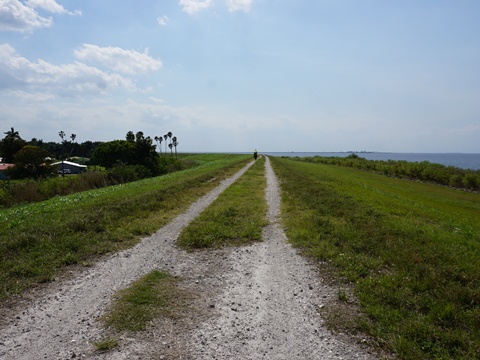
Port Mayaca-south to Pahokee - 13 miles
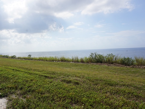
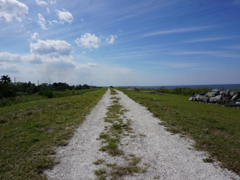
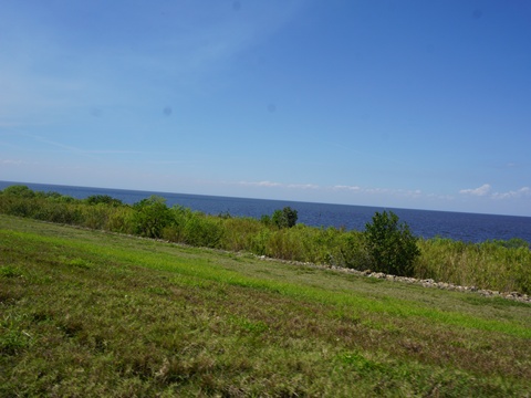
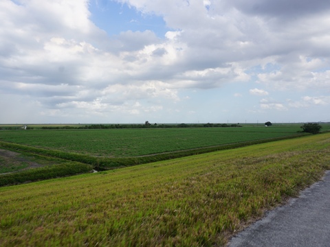
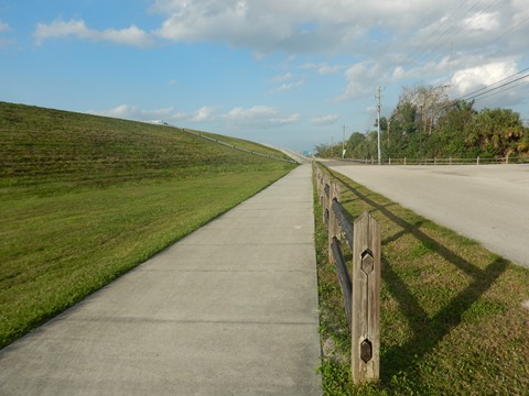
This section of the trail is unpaved, we visited access points along the way. From Port Mayaca to Canal Point, views include lake, marsh and agricultural fields across the canal. From Canal Point through Pahokee are homes and businesses canalside. The trail parallels US 441/98 to Pahokee, then continues paralleling SR 715.
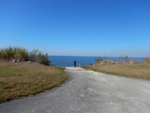
Port Mayaca - South side
(26.98188, -80.61727)
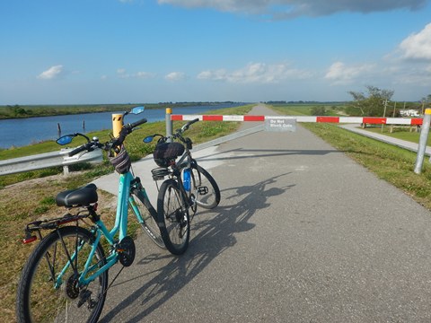
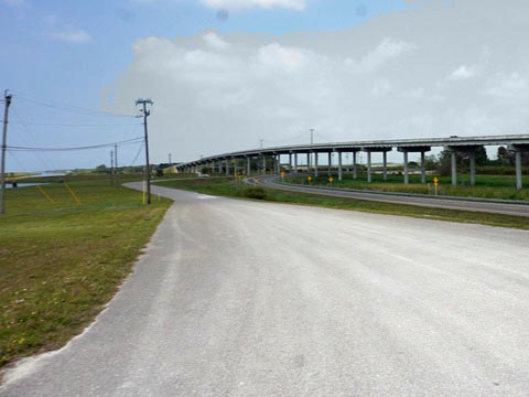
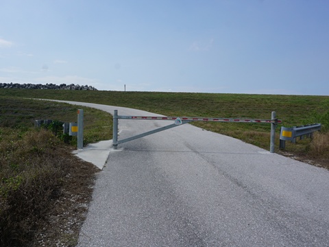
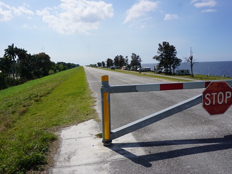
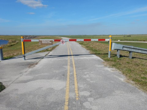
From the end of the US 441/98 bridge to the trail is about a mile on the wide shoulder along SR 76, then looping back to the lock. The trail southbound becomes unpaved. Dirt parking.
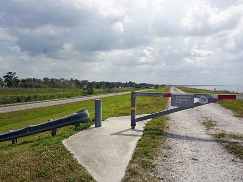
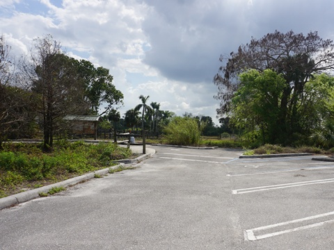
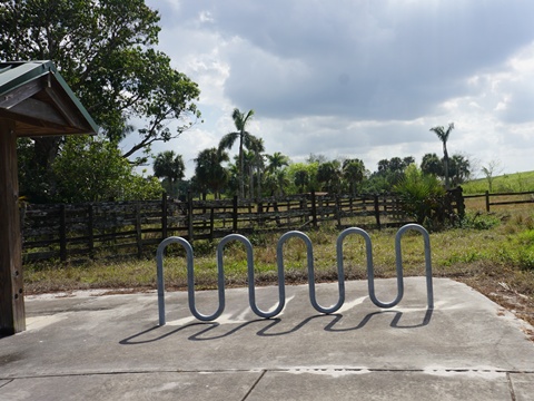
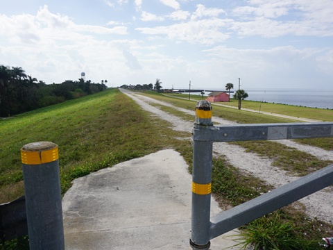
Northeast Everglades Natural Area
(26.95036, -80.60997)
The park serves as a connector between the Florida Trail (LOST) and the Ocean to Lake Trail. Parking, bike racks, info kiosk. Ramp up to the unpaved trail on the dike.
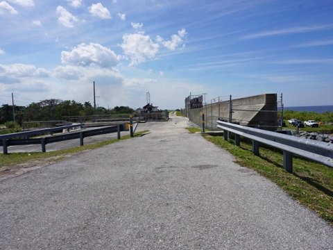
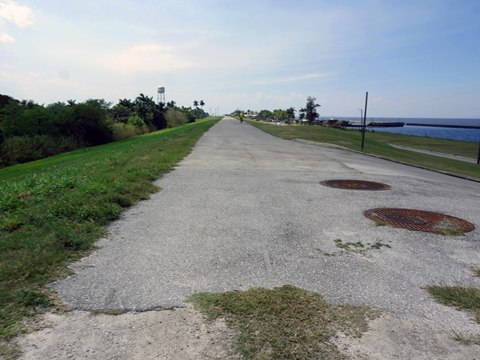
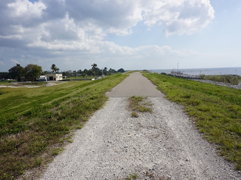
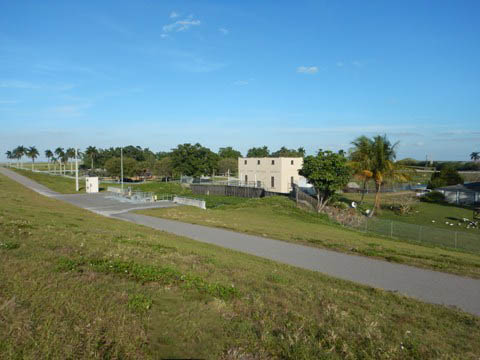
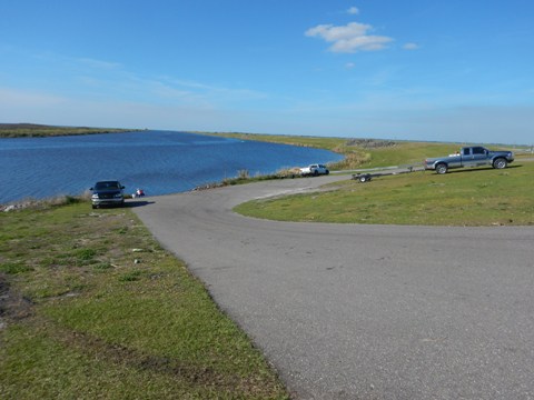
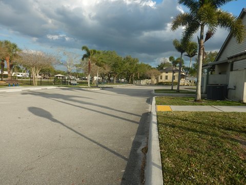
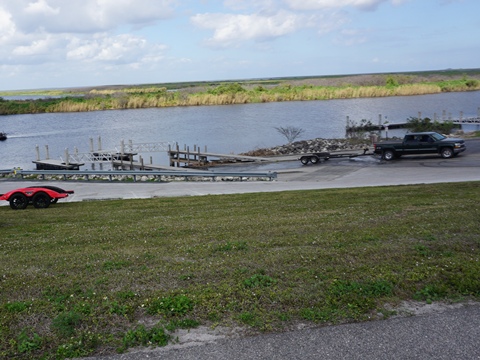
Canal Point Recreation Area
(26.86528, -80.63169)
This park has ample paved parking, picnic tables, boat ramp. Part of the trail through the park is shared with cars. After crossing the lock it continues south as a trail, unpaved.
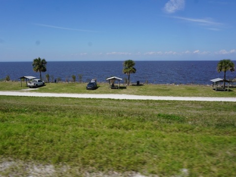
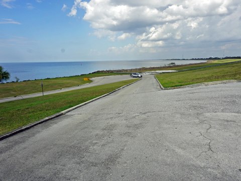
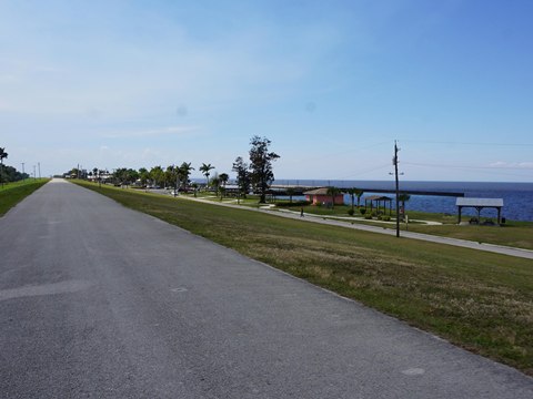
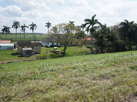
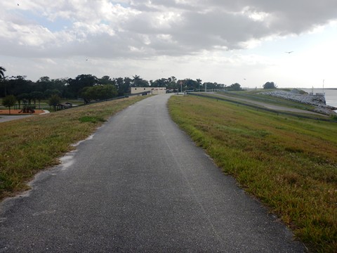
Pahokee Trailhead to Rardin Park Trailhead - 6 miles
This was another paved segment we enjoyed riding and recommend for casual recreational bikers, even with a short unpaved segment. Facilities are available at both trailheads, an easy 12 miles round-trip.
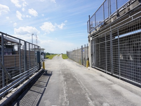
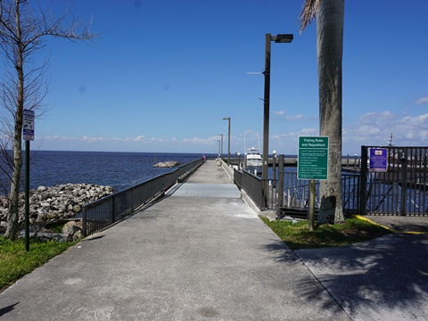
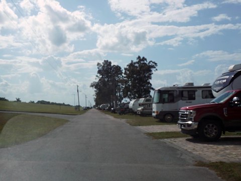
Pahokee Trailhead
(26.82504, -80.66649)
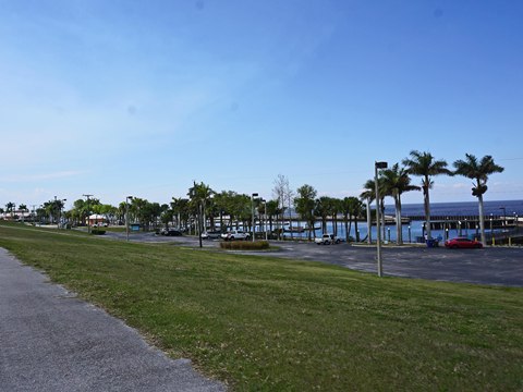
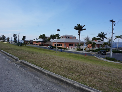
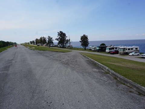
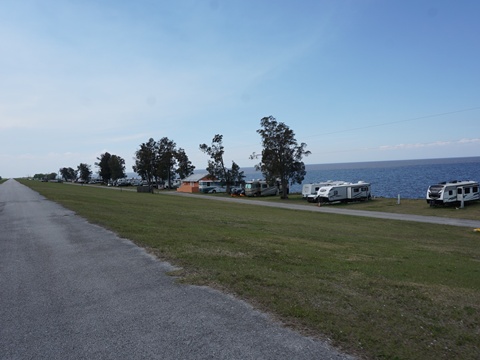
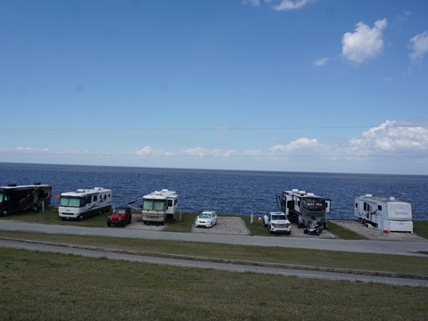
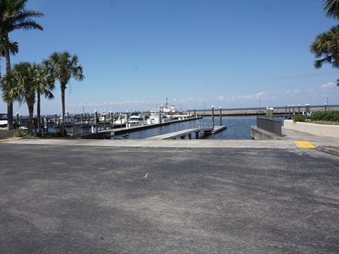
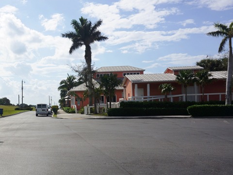
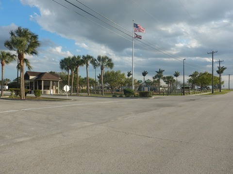
- Approaching Pahokee Trailhead from the north the trail is unpaved, becoming paved as it enters the Pahokee Marina & Campground area. Here are parking, restrooms, picnic, marina and boat ramp, camping (124 sites), restaurant, fishing pier. The trail through the park is shared with cars, they loop up from a parallel roadway along the lake linking to all facilities.
- Restaurants and convenience stores are nearby in the City of Pahokee.
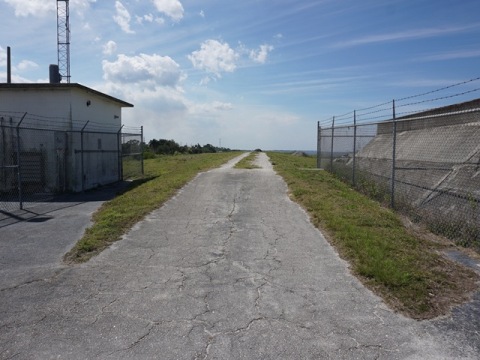
On the Trail
Pahokee to Paul Rardin Park
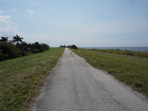
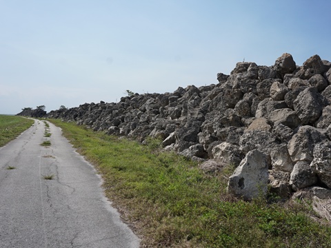
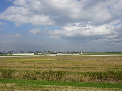
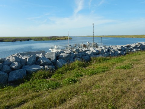
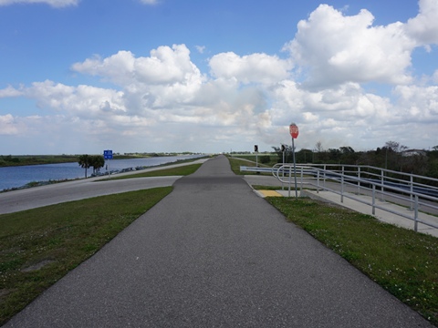
- Between Pahokee and Paul Rardin Park, the trail runs between the canal and homes paralleling SR 715, then past the airfield at Pahokee are agricultural areas. Mostly paved, with a short unpaved section as it approaches a spillway. Rocks piled along the canal are from the dike restoration project completed in recent years. The trail passes Palm Beach County Glades Airport (PHK) - a small recreational airport, we watched planes taking off and landing on what appeared to be training flights.
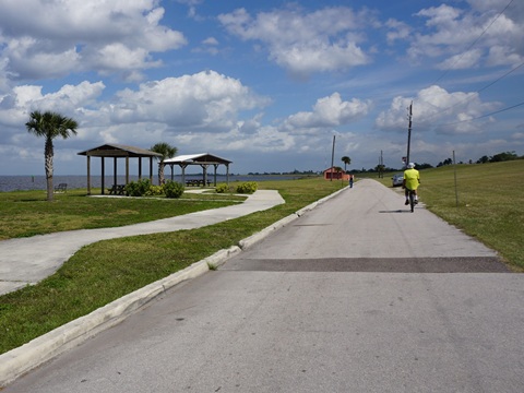
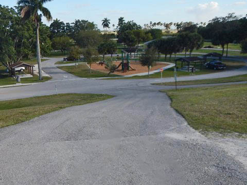
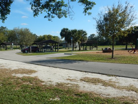
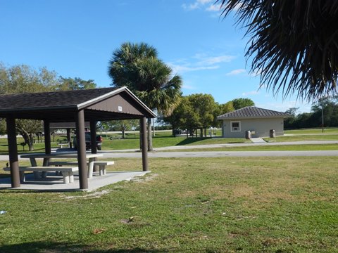
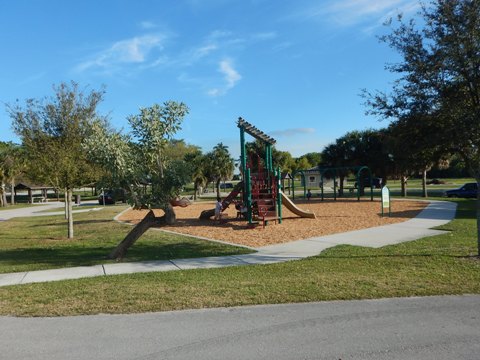
- Paul Rardin County Park is a pleasant stop with trail access, parking, restrooms, picnic, playground, boat ramp.
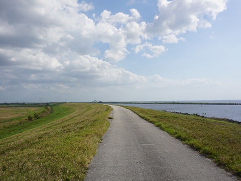
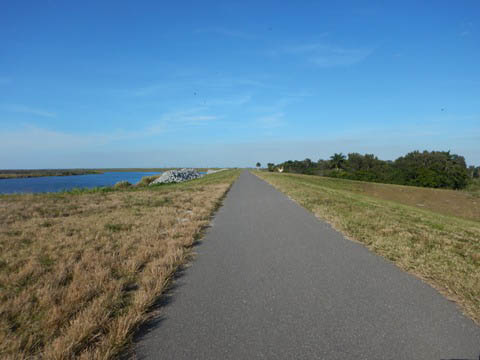
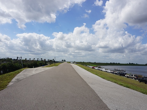
Paul Rardin Park to South Bay - 6 miles
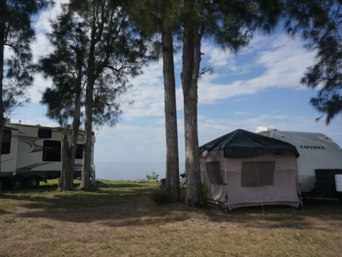
This section is paved but removed from the lake, running along the canal with agricultural field views. An access point mid-way is at Torry Island (MP 7E) in Belle Glade. Torry Island Marina and Campground has restrooms, camping, observation tower.
South Bay Trailhead
(26.68274, -80.73048)
The trailhead is along Levee Road, at the South Bay Crossroads Center and South Bay RV Park and Campground (parking, restrooms, picnic, playground, camping).
- A ramp leads up to the trail and a boat ramp (trailside parking, fishing pier, picnic).
Continue to Southwest
Section
South Bay to Moore Haven
Find Trails by FL Region or Listed A - Z

100FloridaTrails.com... 100+ Florida Multi-use Bike Trails, Best for Safe, Fun Recreation and Fitness
Other Websites:
BikeOrlando.net
PaddleFlorida.net
BikeTripper.net
Copyright © 100FloridaTrails.com. All Rights Reserved.