100 Florida Trails®
Top FL Multi-use Bike Trails
Map Links & Photos Galore
Coast-to-Coast Updates
You are here >
Home >
Trails >
South FL-East >
Lake Okeechobee Scenic Trail >
Southwest section
Latest update: November 2025
Lake Okeechobee Scenic Trail... Southwest Section
South Bay to Moore Haven - 28 miles
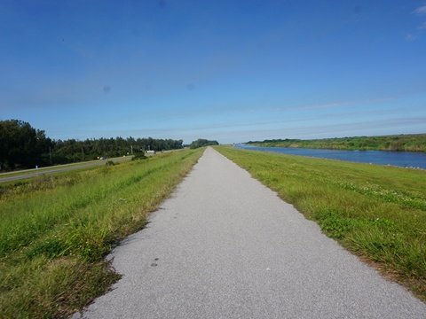
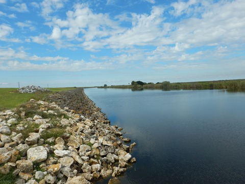
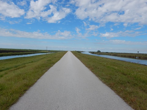
This section of LOST is paved, extending from South Bay to Moore Haven. From South Bay to Clewiston the trail runs between the lake and US 27. Past Clewiston the trail leaves the lakeside, with marsh views. Access points with restrooms are at South Bay, John Stretch Park, Clewiston, Uncle Joe's Fish Camp/Liberty Point, and Moore Haven. (Map link and photos below.)
Trail Map link...
Lake Okeechobee Scenic Trail
View Larger Map
Page Summary:
Biking on LOST - Southwest - South Bay to Moore Haven - 28 miles
- South Bay to Clewiston
- John Stretch Park
- Clewiston-east - Clewiston to Moore Haven
- Clewiston-west
- Uncle Joe's Fish Camp/Liberty Point Access
- Moore Haven-east - Alvin Ward Park
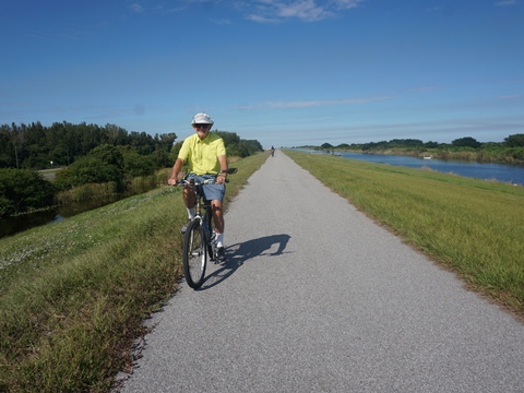
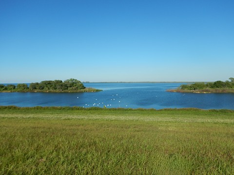
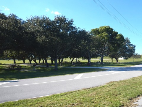
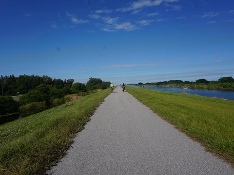
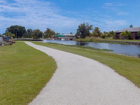
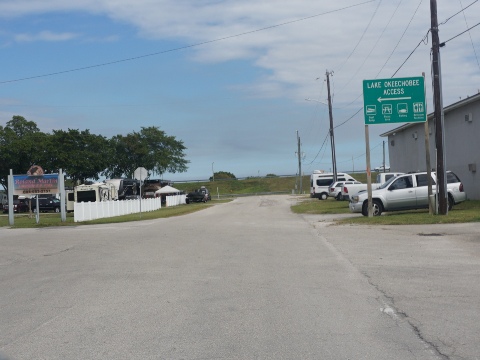
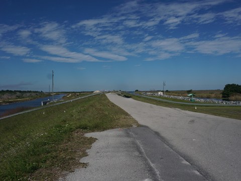
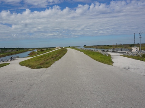
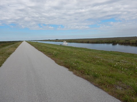
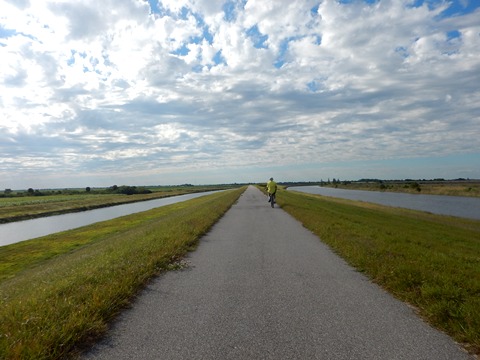
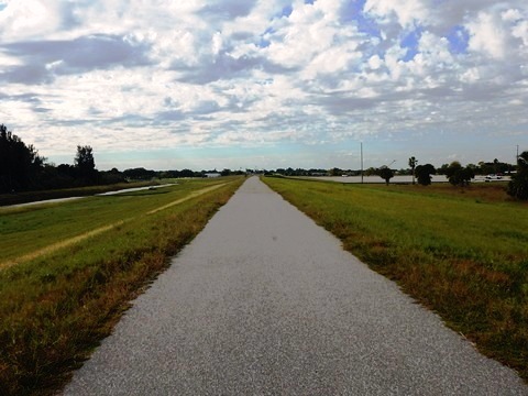
South Bay to Clewiston - 14 miles
From South Bay to Clewiston the trail runs on the dike paralleling US 27, mostly with the lake to the north and sugar cane fields to the south. Running on the dike, there's a wide barrier from the road. The scenery continues mostly unchanging except at the trailhead about halfway at John Stretch Memorial Park.
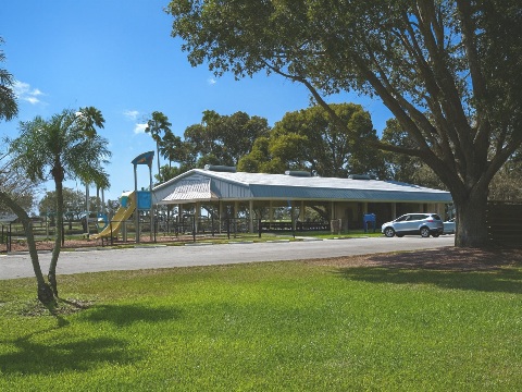
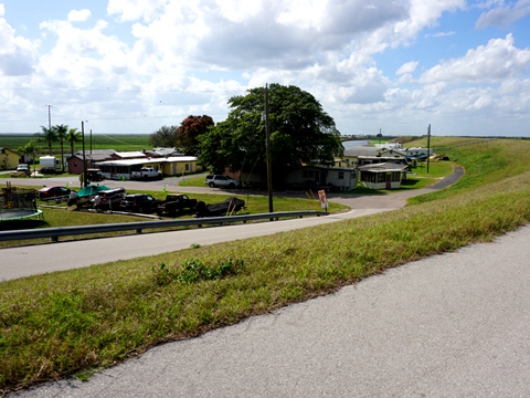
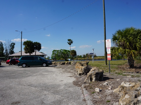
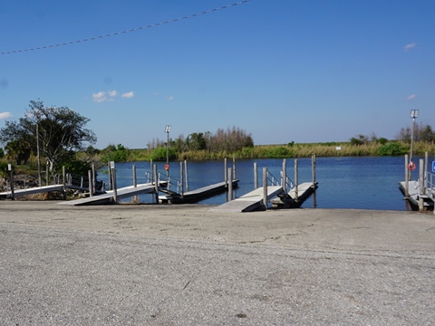
John Stretch Memorial Park
(26.69782, -80.80954)
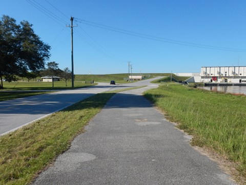
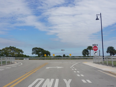
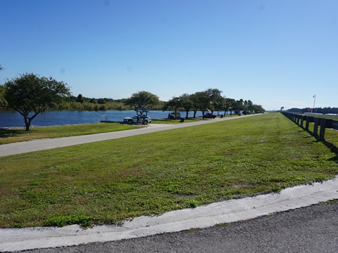
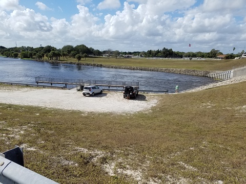
- Approaching John Stretch Park the trail detours at the Miami (C-6) Canal around a lock and pump station, crossing a bridge to the park. Then a ramp leads back up to the trail, continuing to Clewiston. Leaving the park is a scenic stretch along the lake.
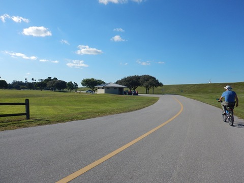
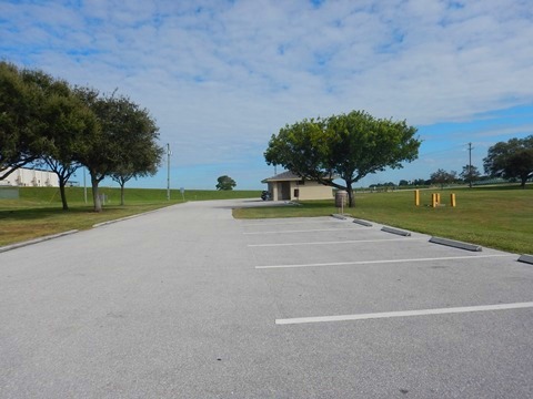
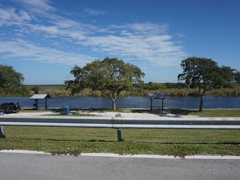
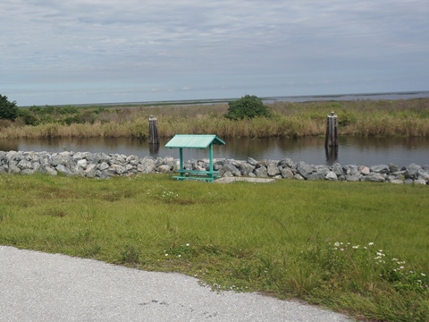
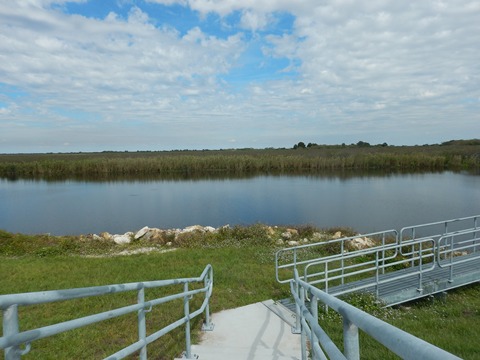
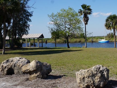
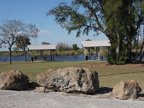
- John Stretch Memorial Park has parking, restrooms, picnic areas, pavilion, playground, basketball court, playing field, and small lake. The roads and trails through the park are bikeable, about 1.5 mile. A historical pump display includes retired 1950's flood control equipment.
On the Trail
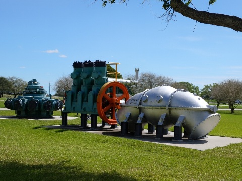
The park is named for John Stretch, director of recreation and conservation for the Central and South Florida Flood Control District from 1963 and 1970. He planned the 55-acre park to honor the thousands of victims of the 1928 Hurricane.
John Stretch Park to Clewiston
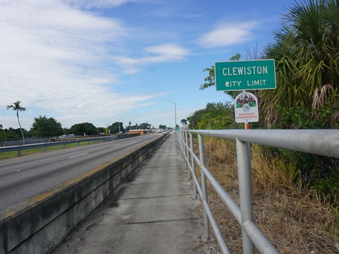
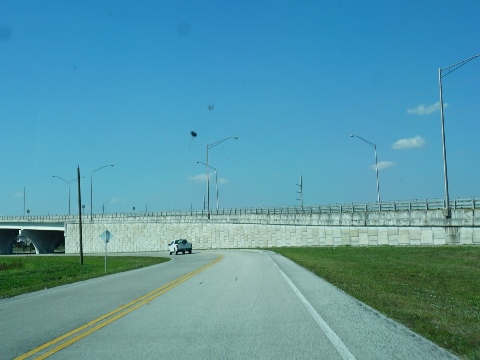
The trail continues unchanging between the canal and US 27. Approaching Clewiston the road turns westward, with a wider buffer from the trail. The height of the dike and wide buffer keep road noise minimal.
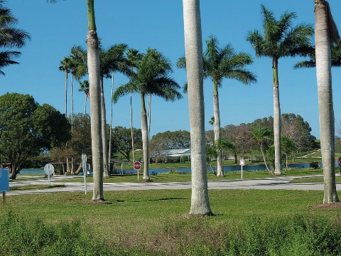
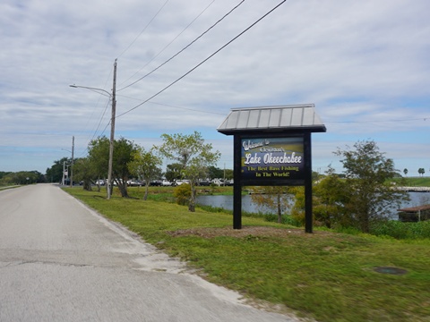
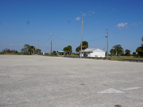
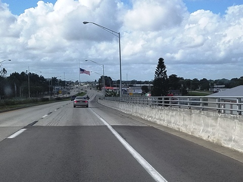
- Clewiston is a good stopping point (or as a base if you're staying in the area), with restaurants, shopping and large selection of accommodations.
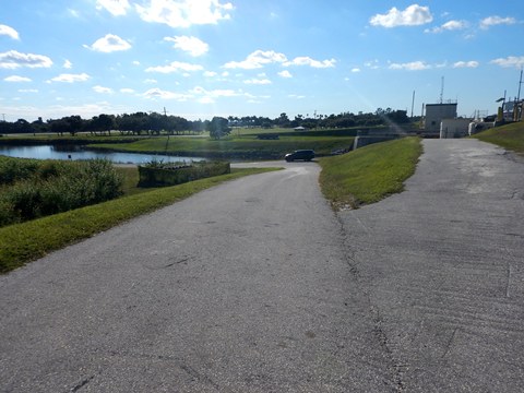
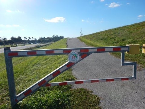
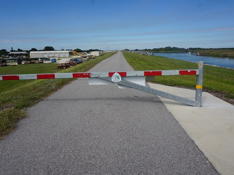
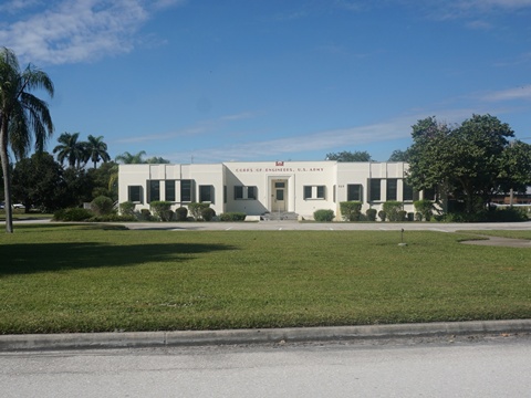
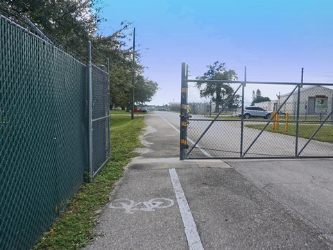
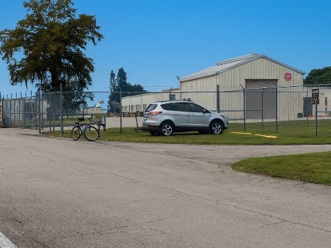
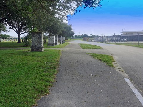
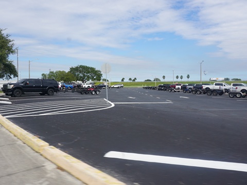
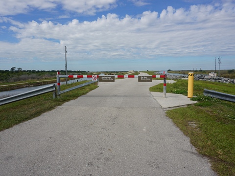
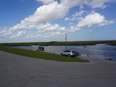
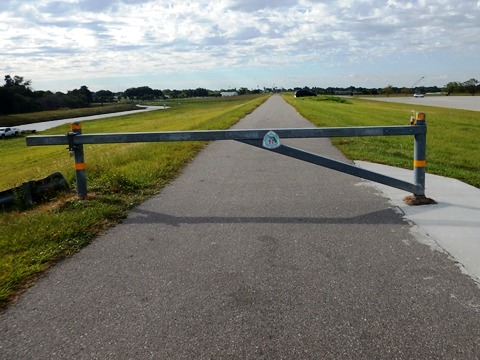
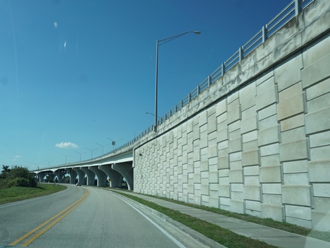
At Clewiston is another lock, and the trail again detours along the road, passing through a U.S Army Corps of Engineers facility along the Clewiston Canal. Outside the gate leaving the facility is a small parking area with 2-3 spots, then the trail runs out to US 27, past Ridgelawn Cemetery.
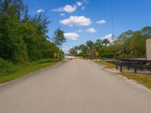
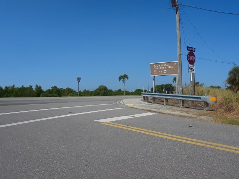
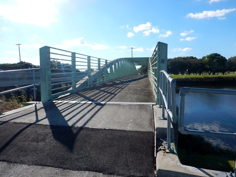
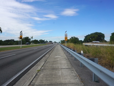
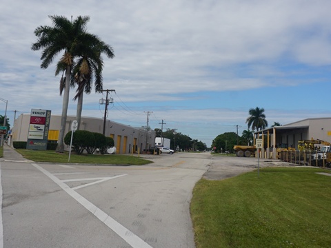
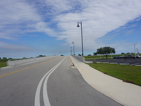
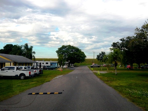
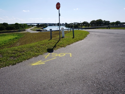
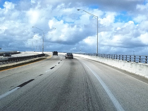
Continue alongside US 27 and cross the bridge over the Clewiston Canal, then the trail winds along some city streets (with light traffic), past the Roland Martin Marina and Resort (food, accommodations). The trail resumes at the marina (parking, restrooms). It crosses the bridge over the C-21 canal, back onto the dike. Go left for the trail.
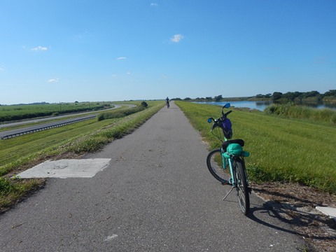
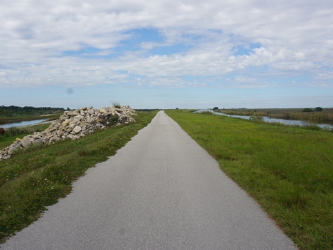
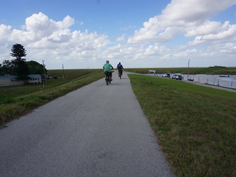
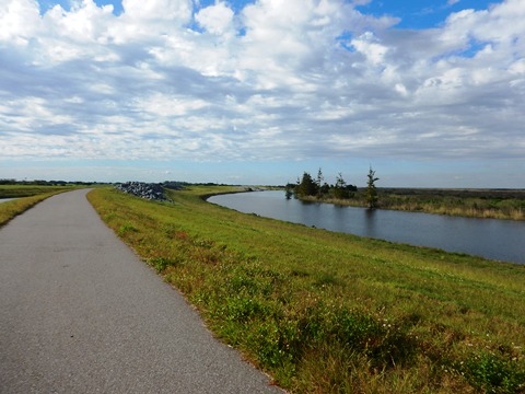
Clewiston to Moore Haven - 14 miles
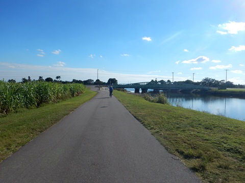
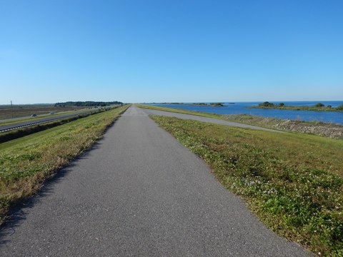
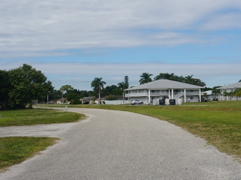
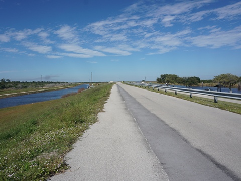
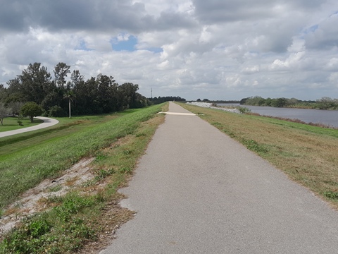
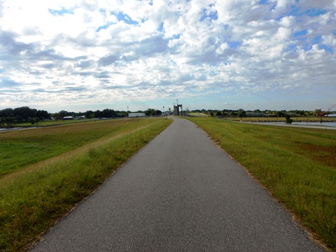
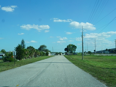
Past Clewiston the trail continues paved, leaving the lakeside. This is a section we enjoyed, and recommend for casual recreational bikers. We call this the "quiet side" of the trail, it's a quiet ride in a remote area, removed from the road.
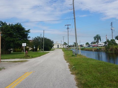
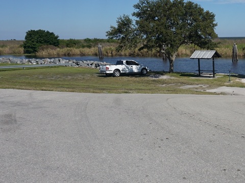
Clewiston Access
(26.76386, -80.92479)
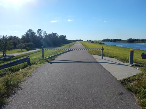
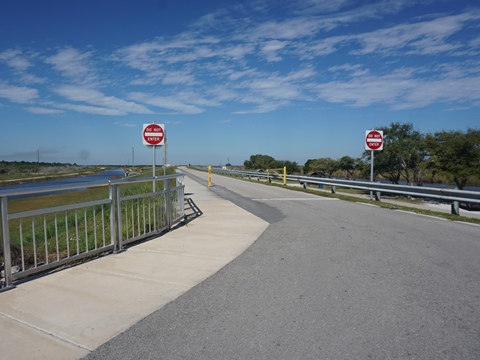
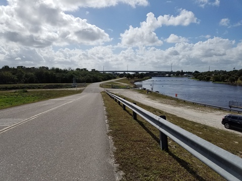
Crossing back onto the dike, the trail goes to the west (left). It runs alongside the roadway about 1/10 mile, overlooking the picnic sites. The road loops off at a ramp from the picnic area, and the trail continues through a gate. Parking is available at the end of the ramp.
- On the dike, the road runs to the east to another boat ramp, and to the lock along the Clewiston Canal. It loops down to the picnic area along the canal.
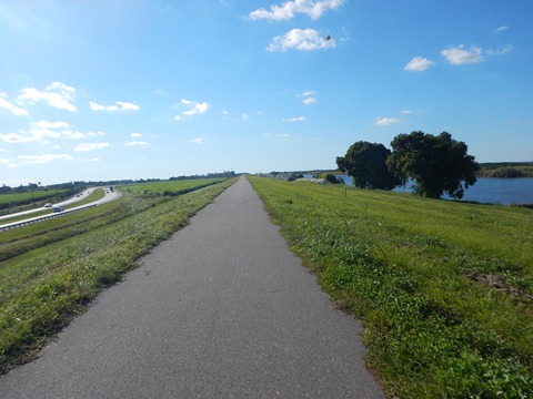
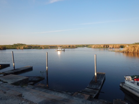
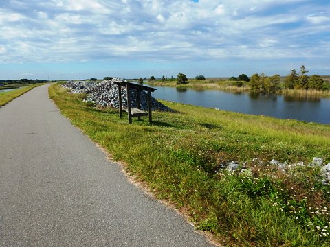
Clewiston to Uncle Joe's Fish Camp/Liberty Point
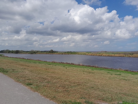
The ride continues with sweeping but mostly unchanging views of marsh and sugar cane, except for the S4 Lock at about 3 miles.

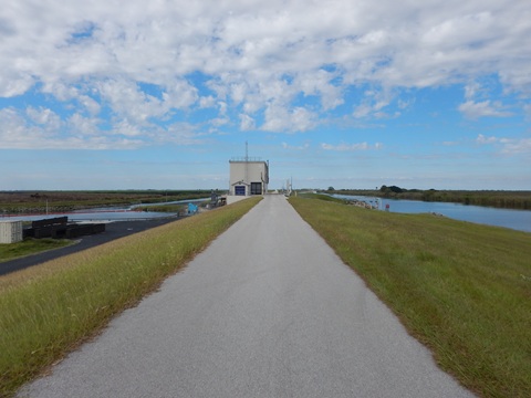
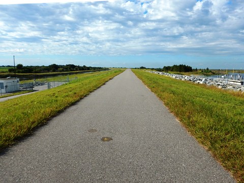
Moore Haven-east
(26.83925, -81.08322)
The trail approaching Moore Haven runs between the main canal and an agricultural canal, no lake views but rather marsh and sugar cane fields.
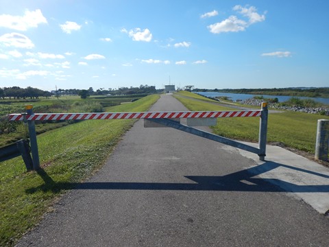
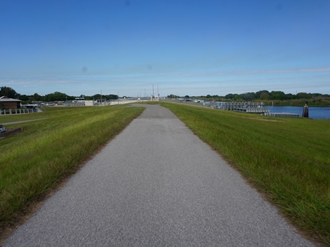
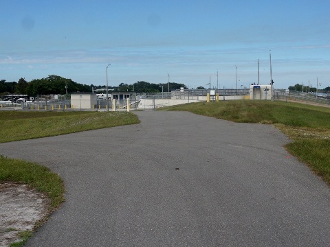
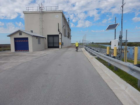
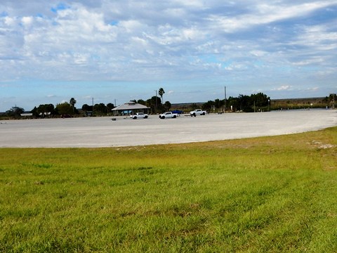
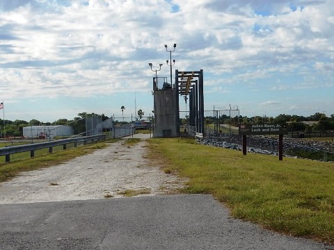
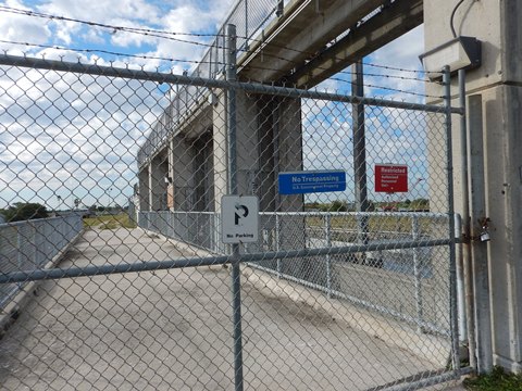
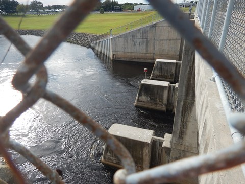
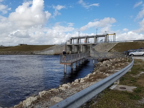
- At Moore Haven the trail detours around the Julian Keen, Jr. Lock and Dam (also called the Moore Haven Lock and Dam) at the Caloosahatchee River.
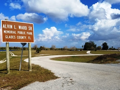
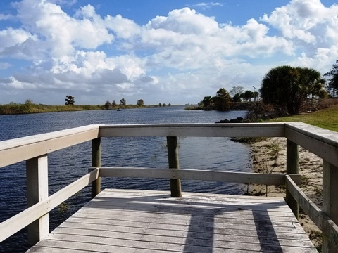
- Alvin Ward Park has parking, restrooms, picnic shelters, boat ramp, fishing pier.
- From the Lock and Dam, go down the ramp off the dike. There's a parking area with a fishing pier and good views of the dam. The detour route along Alvin Ward Senior Dr. to US 27. Follow the trail alongside the road and cross the bridge over the Caloosahatchee Canal (bike lane, or pathway separated from road by a concrete barrier). Local roads then lead back to the dike on the west side of the lock.
Trail to Moore Haven Lock and Dam
Continue to
Northwest Section
Moore Haven-west to Okeechobee
Find Trails by FL Region or Listed A - Z

100FloridaTrails.com... 100+ Florida Multi-use Bike Trails, Best for Safe, Fun Recreation and Fitness
Other Websites:
BikeOrlando.net
PaddleFlorida.net
BikeTripper.net
Copyright © 100FloridaTrails.com. All Rights Reserved.