100 Florida Trails®
Top FL Multi-use Bike Trails
Map Links & Photos Galore
Coast-to-Coast Updates
You are here > Home >
Trails >
West Florida >
Oldsmar Trail
Latest update: December 2025
Oldsmar Trail... West Florida Biking
Multi-use Trail Linking 11 City Parks - Waterfront Views
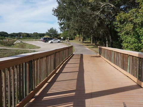
Located at the northern end of Tampa Bay, the City of Oldsmar claims more park space per mile than anywhere else in Florida. Now totaling about 11 miles, the Oldsmar Trail highlights this claim by linking 11 city parks. Best envisioned as a "trail network" rather than as a "point-to-point" trail, most is paved in good condition, with a few short sections of boardwalk, on-road, and unpaved. We were pleasantly surprised with the variety of options. As is often the case, we found biking some sections more enjoyable than others. Therefore, we have color-coded our trail map here to help you find the biking that best suits your taste or style. (Map and photos below.)
Location: Northeast Pinellas County
End Points: Various (see map)
Mileage: About 11 miles
Surface: Most paved, some hardpack, some boardwalk
Nearby points of interest: Clearwater beaches, Tampa Bay parks
Bike Shops / Rentals:
BikeSport Bicycle Shop
(Oldsmar; sales, service)
Page Summary:
- Biking the Oldsmar Trail
- Section 1 - 5.3 continuous miles, 7 city parks
- Section 2 - southern extension, Mobbly Beach Park and Mobbly Bayou Wilderness Preserve
- Section 3 - northern extension, Richard Rogers Park and Cypress Forest Park
- More Information and Resources
Biking the Oldsmar Trail... Comments and Photos
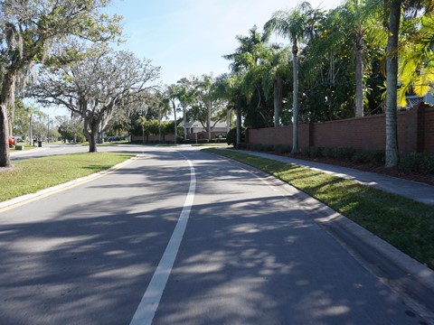
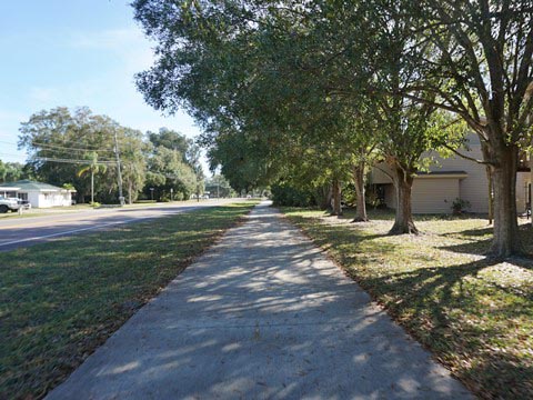
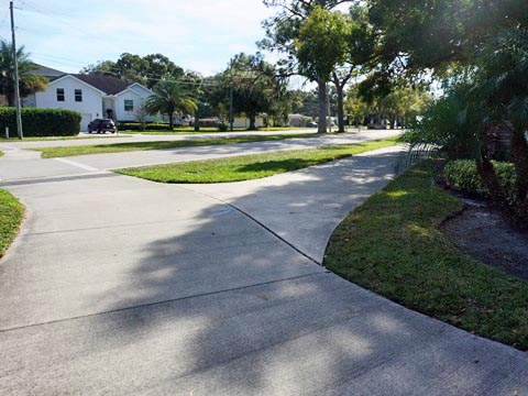
In 1916, Mr. R.E. Olds (founder of Oldsmobile) purchased 37,541 acres on the northern tip of Tampa Bay, with plans to build a community for working people rather than the wealthy. Today, most of the bayfront is public park, with tree-lined boulevards leading just over 1/2 mile from the bayfront to the commercial districts. As a result of this planning, most of the bike trail today goes through quiet residential neighborhoods, with almost no commercial or through traffic, and with plenty of pleasant water views.
Different segments of the Oldsmar Trail offer different things to do. Some parks feature fitness equipment and sports facilities. Some parks are primarily for nature and wildlife viewing. Some feature both. As a result, there's plenty of variety along the Oldsmar Trail. We visit the trail in three sections.
Section 1: The Longest Continuous Trail Section - 5.3 Miles
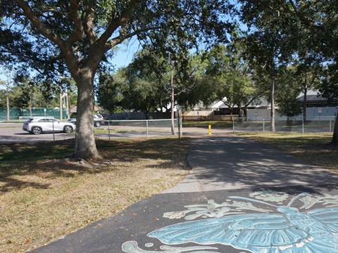
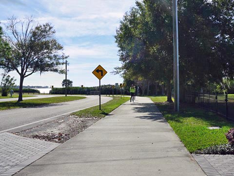
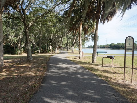
This trail section is color-coded in red on the map, with one short on-road section in gray. It runs mostly south and east, passing through the heart of the original Oldsmar. Seven city parks are located along this route, as are the best water views.
From the Oldsmar Sports Complex to Sheffield Park (1.3 miles)
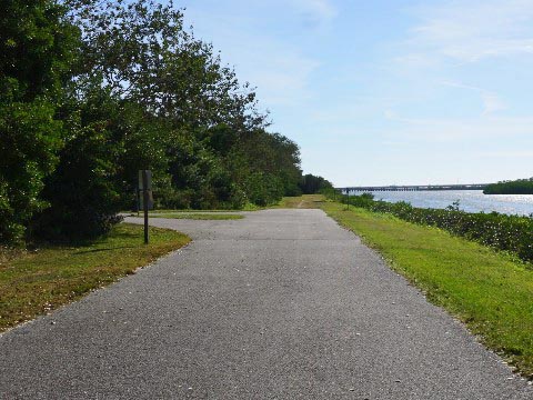
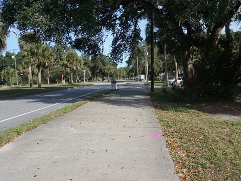
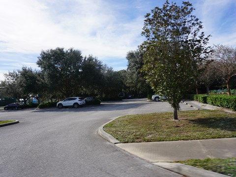
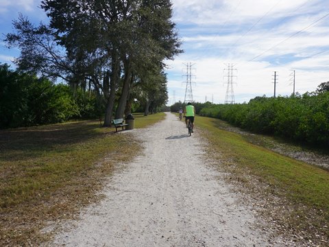
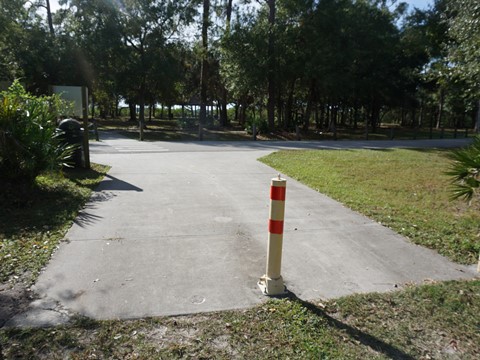
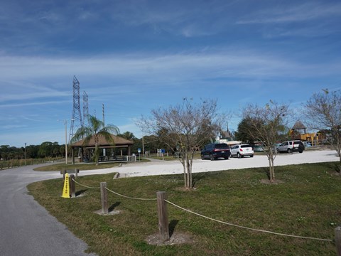
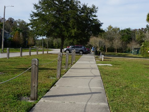
On northwest side of Oldsmar, the paved trail runs from the Oldsmar Sports Complex at Canal Park (free parking, restrooms, picnic, playground, sporting facilities, BMX track) to Curlew Road and down a ramp to the Curlew Road Trailhead (free but limited parking, unpaved, no facilities). The trail goes under Curlew Rd. and then runs beside the Lake Tarpon Outflow Canal, about 8/10 mile to Sheffield Park.
Sheffield Park to SR 580 (1.5 miles)
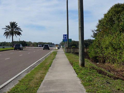
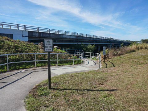
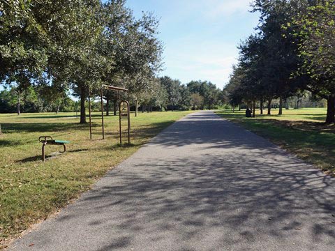
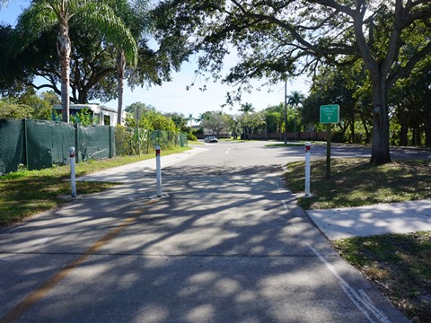
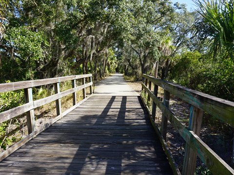
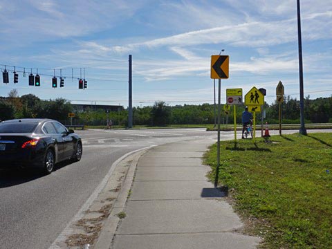
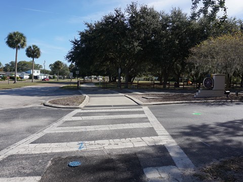
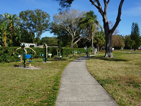
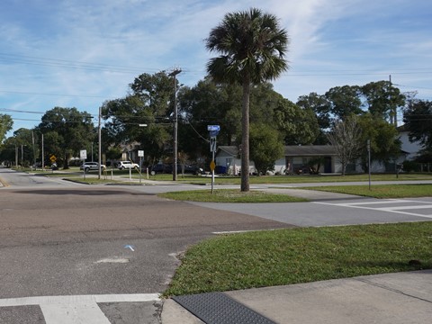
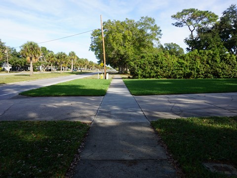
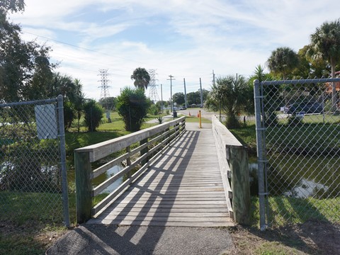
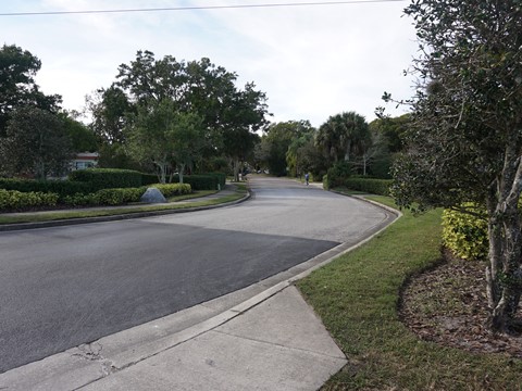
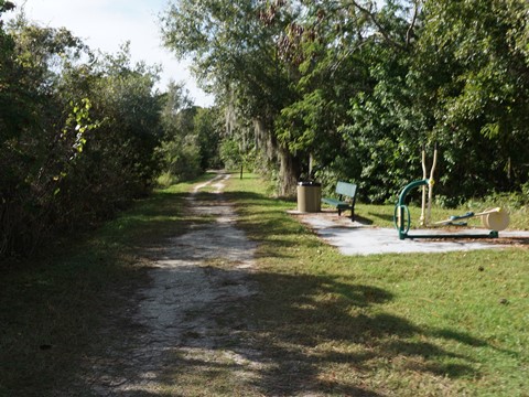
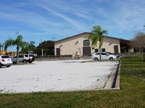
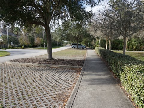
This is a pleasant section of trail through Sheffield Park (free parking, restroom, picnic, sporting facilities, disc golf, dog park) and Harbor Palms Nature Park (nature, boardwalks, fishing dock, fitness equipment). A 0.35 mile on-road section goes through a quiet residential neighborhood and the trail resumes at Moccasin Creek Park (undeveloped; nature, boardwalks). The trail exits onto Forest Lakes Blvd., goes south over a railroad track, and crosses SR 580, the only busy intersection along this part of the trail.
Old Oldsmar - SR 580 to Veterans Park (1.25 miles)
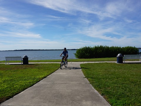
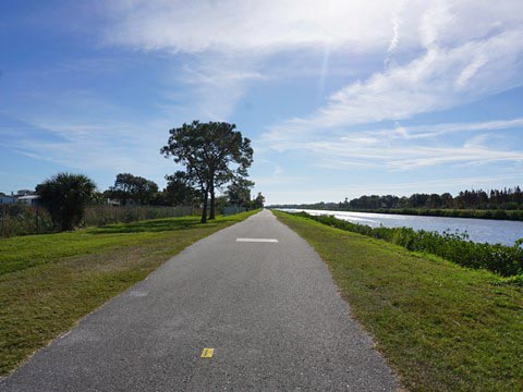
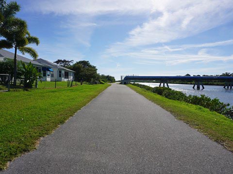
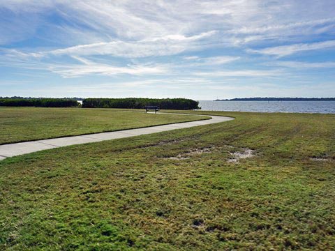
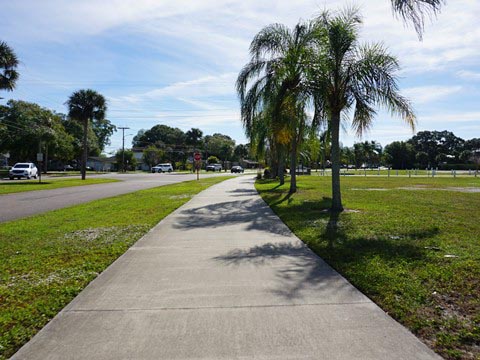
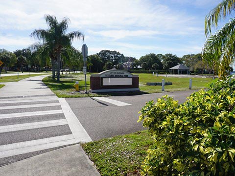
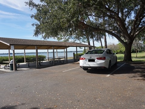
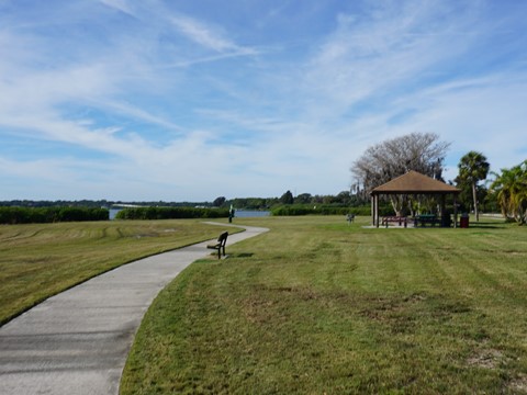
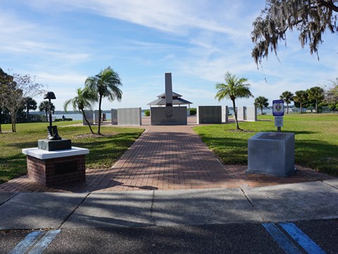
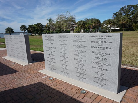
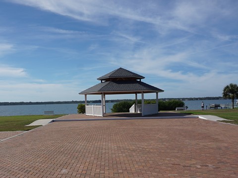
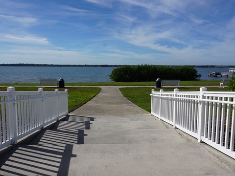
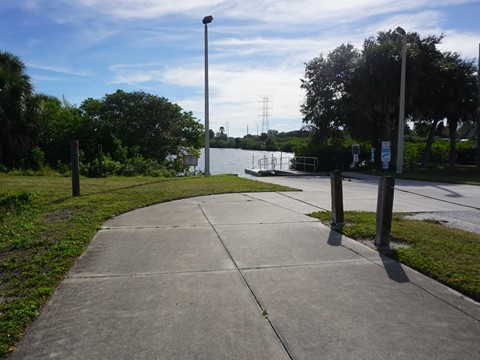
After crossing the intersection at SR 580, the trail parallels St. Petersburg Drive W. on a path off the road with a wide median, then turns south at Oakwood Blvd. (about 4/10 mile) to Shore Drive W. Here it parallels Safety Harbor with scenic views, past R.E. Olds Park (free parking, restrooms, picnic, playground, fishing pier) to Veterans Memorial Park. (free parking, restrooms, picnic, fitness equipment). Side trails run through both parks, with scenic water views.
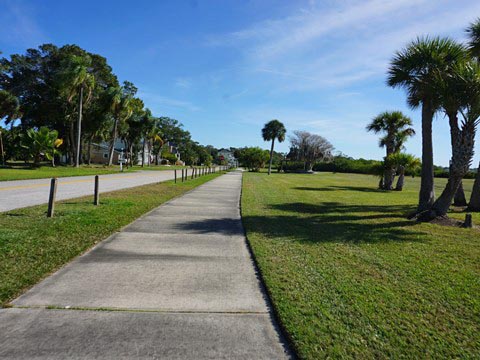
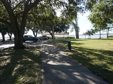
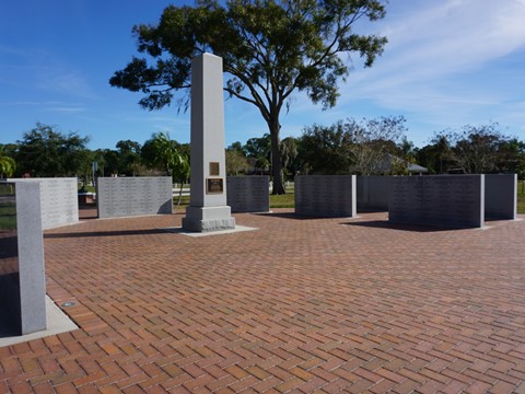
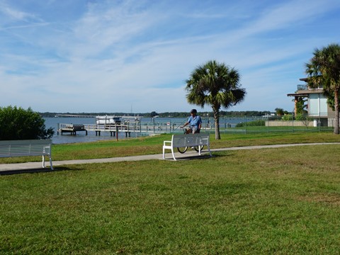
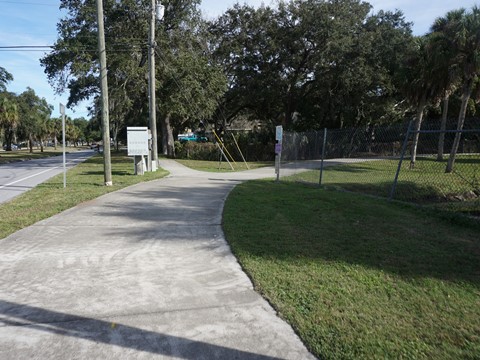
Veterans Park to Bicentennial Park and Trail End (1.2 miles)
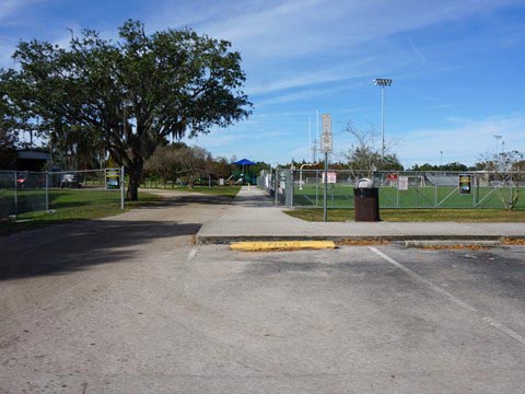
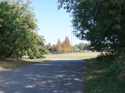
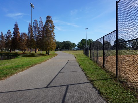
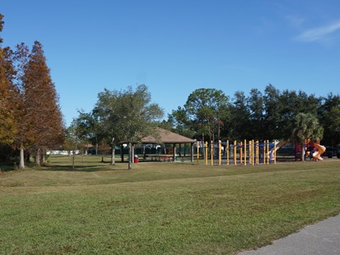
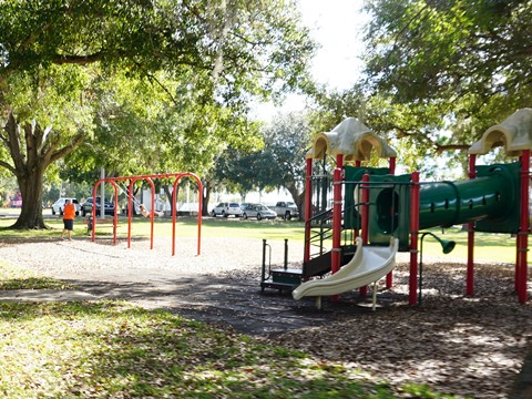
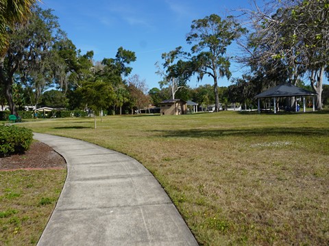
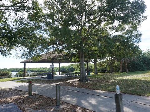
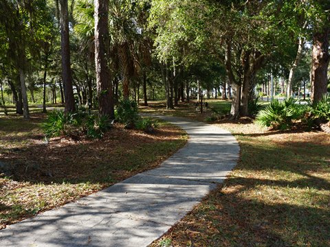
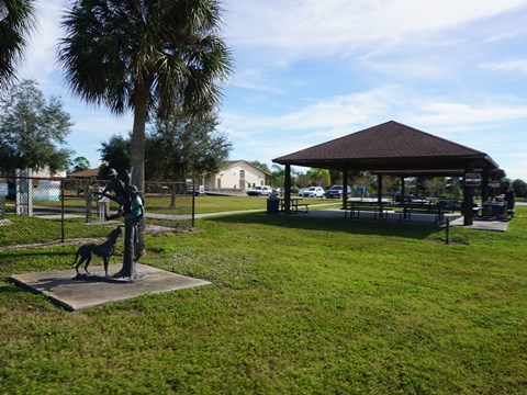
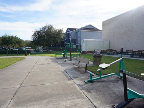
From Veterans Memorial Park, the trail crosses Shore Drive and runs east along Lafayette Blvd., ending at Tampa Road (SR 584). At about 2/10 mile the trail turns off the road and loops through Bicentennial Park (free parking, picnic, fitness equipment, sport facilities, playground; restrooms temporarily closed for repair at this writing) before returning to Lafayette. The loop runs along a pond through a shaded section of the park with benches, picnic tables, and fitness stations, and links to Mobbly Beach Park and Mobbly Bayou Wilderness Preserve.
Section 2: Southern Extension - Mobbly Bayou and Mobbly Beach
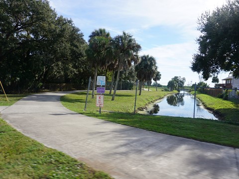
From the point where the trail turns off Lafayette Blvd. and loops past Bicentennial Park are two trail extensions - one linking to Mobbly Beach Park and the other to Mobbly Bayou Wilderness Preserve. This trail section is color-coded in green on the map, with one short on-road section in gray.
Connector to Mobbly Beach Park (1.7 miles)
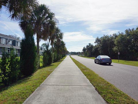
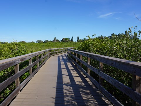
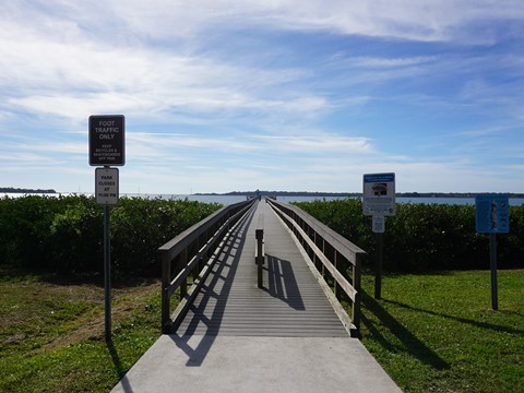
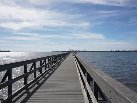
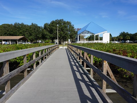
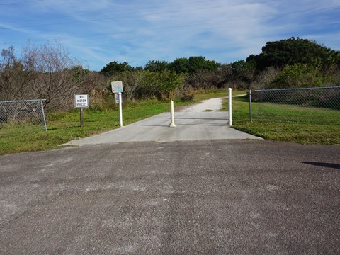
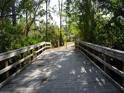
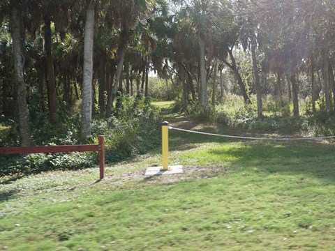
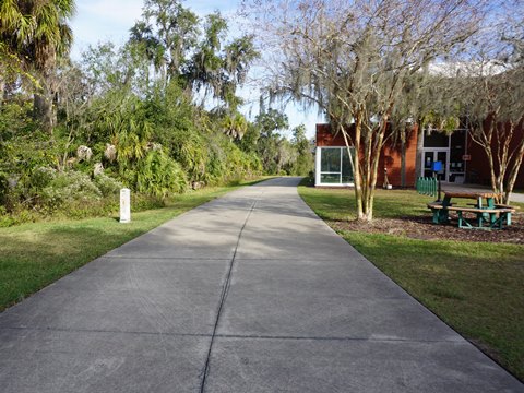
From the point where the trail turns off Lafayette Blvd., look for the boardwalk over the canal to the right (less than 1/10 mile) and go across. The trail is paved to a boat ramp, then becomes unpaved on hard-packed surface with benches and several boardwalks. At Dunkirk Rd. (about 1/3 mile), a street route starts - go right, then left at Country Club Dr., continuing to a cul-de-sac where the unpaved trail resumes (4/10 mile). This final section (8/10 mile) includes fitness stations, plus benches and boardwalk. At Mobbly Beach Park are paid parking, restrooms, walking/biking trails, picnic, kayak/canoe launch, and fitness equipment.
On the return trip, an alternative to riding the unpaved section again is to follow Shore Drive E., north back to Veterans Memorial Park. This is a residential street to the park with little traffic.
Connector to Mobbly Bayou Wilderness Preserve (0.4 mile)
From the point where the trail turns off Lafayette Blvd., continue past the boardwalk leading to Mobbly Beach. Then watch for the trail turning off to the south (less than 1/10 mile) - go right to Mobbly Bayou Wilderness Preserve
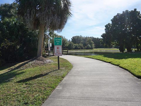
Mobbly Bayou Wilderness Preserve
The Preserve offers free parking, restrooms, Environmental Education Center, trails, picnic, playground, dog park, kayak/canoe launch, fishing dock, lookout tower. Unique here is Empower Adventures, which offers a 2-hour guided zip-line tour over the Preserve and surrounding area that includes several aerial challenges. (More information)
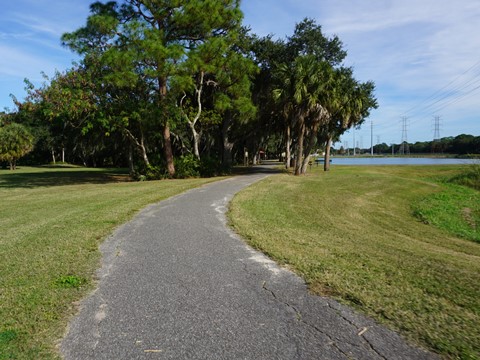
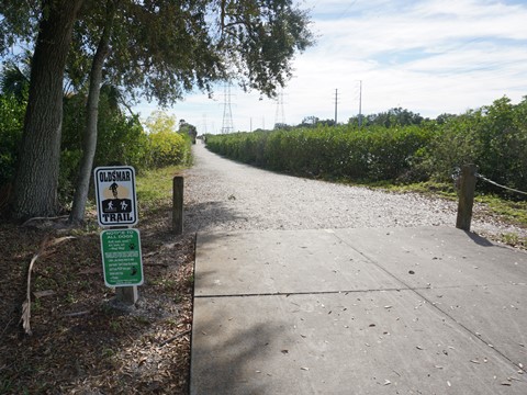
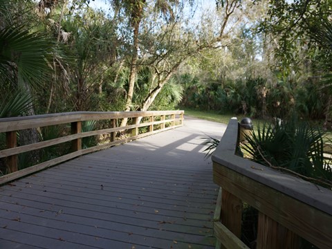
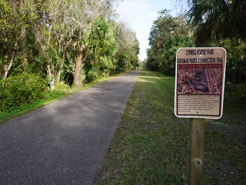
Section 3: Northern Extension - Cypress Forest Park (3.6 miles)
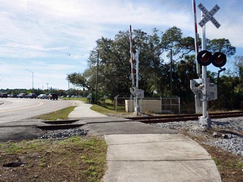
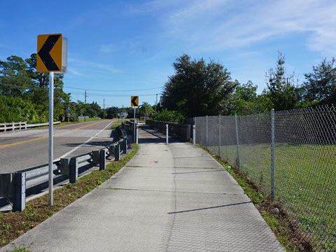
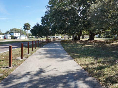
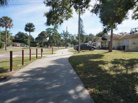
Getting later in the day, we didn't bike this portion of the trail, but drove to Cypress Forest Park, about 2.2 miles. Starting across from R.E. Olds Park, this is more of a neighborhood trail, running north through mostly residential areas, past Richard Rogers Park (free parking, picnic, playground, basketball court) and Forest Lakes Elementary School, and continuing to Cypress Forest Park. This trail section is color-coded in purple on the map. Note: This stretch has the most major road crossings, be very careful crossing at SR 580, Tampa Rd. (SR 584), and Forest Lakes Blvd.
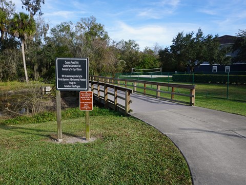
Cypress Forest Park and Trail Connector
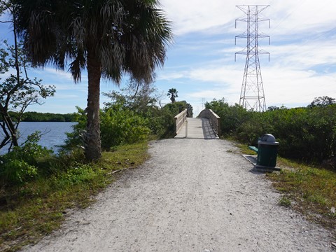
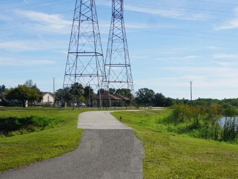
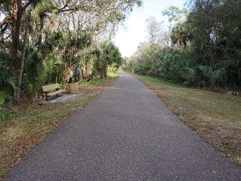
At Cypress Forest Park are parking (fee April-Nov. for Spraypark), picnic, restrooms, Recreation Center (gym, program rooms) and Spraypark. Starting from the Recreation Center, the trail then continues 1.4 miles east to trail end at Race Track Road. This is a pleasant segment through natural areas including boardwalks. This trail section is color-coded in green on the map.
More Information and Resources
Nearby Biking:
Bayshore Trail
Courtney Campbell Trail
Ream Wilson Clearwater
Trail
Safety
Harbor Bike Path
West FL Region - more trails
plus Regional Overview map
Related Resources:
Find Trails by FL Region or Listed A - Z

100FloridaTrails.com... 100+ Florida Multi-use Bike Trails, Best for Safe, Fun Recreation and Fitness
Other Websites:
BikeOrlando.net
PaddleFlorida.net
BikeTripper.net
Copyright © 100FloridaTrails.com. All Rights Reserved.