100 Florida Trails®
Top FL Multi-use Bike Trails
Map Links & Photos Galore
Coast-to-Coast Updates
You are here > Home >
Trails >
West Florida>
Ream Wilson Clearwater Trail
Latest update: December 2025
Ream Wilson Clearwater Trail... West Florida Biking
Part of Paved Bike Route from Gulf to Bay in Pinellas County
The Ream Wilson Clearwater Trail runs 4 miles west to east from Coachman Ridge Park (Clearwater) to Safety Harbor. Along the way, it passes multiple Clearwater parks and sport facilities, providing trailhead parking along with recreational opportunities (including an extensive disc golf course system). Connecting trails add to the ride experience: (1) it links to the Gulf of Mexico at Clearwater Beach via the Duke Energy, Druid Road, and Memorial Causeway Trails; (2) it links into the evolving 75-mile Pinellas Trail Loop at its convergence with Duke Energy Trail; (3) it links to the Courtney Campbell Trail (via the Bayshore Trail), crossing Old Tampa Bay into Hillsborough County (Tampa). This is an easy ride and often shady, except for the section at the eastern end along N. Bayshore Blvd. (Map link and photos below.)
Location: Pinellas County (Clearwater)
End Points: Clearwater (Coachman Ridge Park) to Safety Harbor
Mileage: 4 miles (more via connectors)
Surface: Paved
Nearby points of interest: BayCare Ball Park
(formerly Spectrum Field), Safety
Harbor; multiple parks along the trail
Bike Shops / Rentals:
Chainwheel Drive
(Clearwater; rentals, sales, service)
Outspokin Bicycle
(Clearwater; sales, service)
Page Summary:
- Biking on Ream Wilson Clearwater Trail
- Coachman Ridge Park through Cliff Stephens Park (1.5 mile)
- Cliff Stephens Park to MacMillan Booth Bridge (1.0 miles)
- MacMillan Booth Bridge to N. Bayshore Blvd. (0.6 mile)
- N. Bayshore Blvd. to Safety Harbor (0.8 miles) - More Information and Resources
Biking at Ream Wilson Clearwater Trail... Comments and Photos
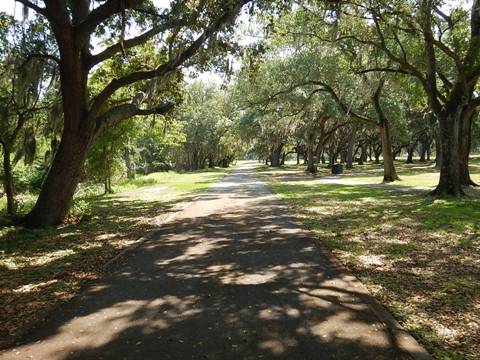
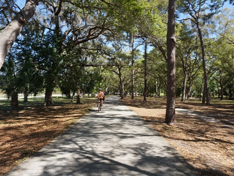
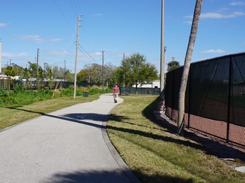
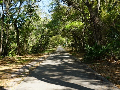
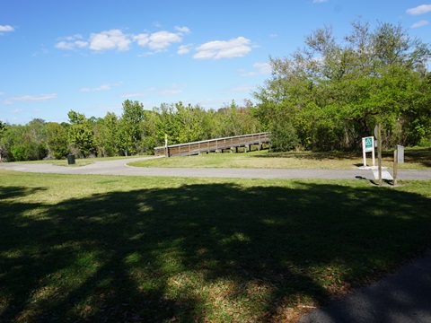
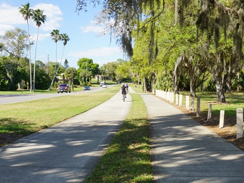
Coachman Ridge Park through Cliff Stephens Park (1.5 mile)
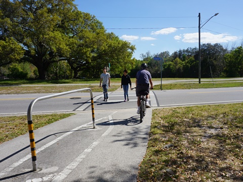
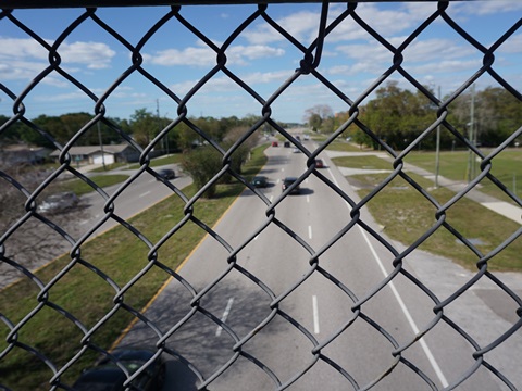
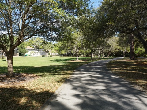
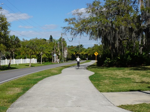
Starting at Coachman Ridge Park (parking, picnic, playground, sport facilities), the trail runs roadside along Old Coachman Road. Crossing NE Coachman Road and a railroad track, it merges with Duke Energy Trail and they run together past Northeast Coachman Park (parking, picnic, disk golf course). A short bridge goes over Alligator Creek, then the trails cross Old Coachman Road where they diverge - continue straight on the Ream Wilson Trail, or turn right for the Duke Energy Trail. Ream Wilson Trail winds around the playing fields at Carpenter Field (next to BayCare Ballpark, spring training home of the Philadelphia Phillies), and goes under US 19 (we were warned to watch for panhandlers at the underpass, but saw none).
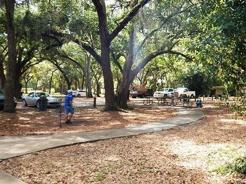
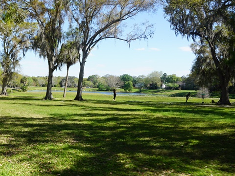
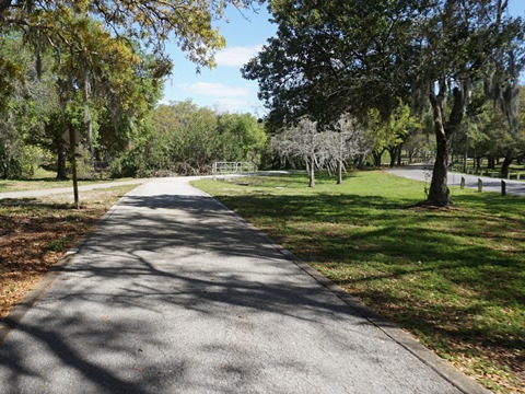
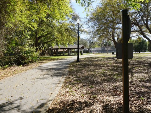
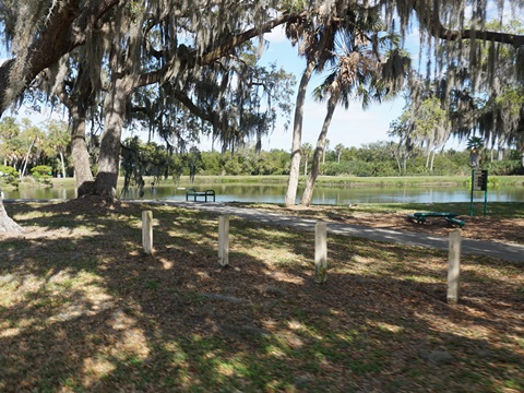
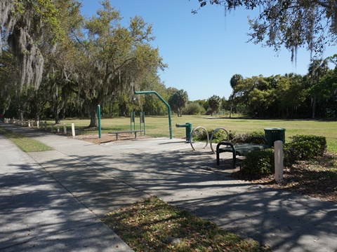
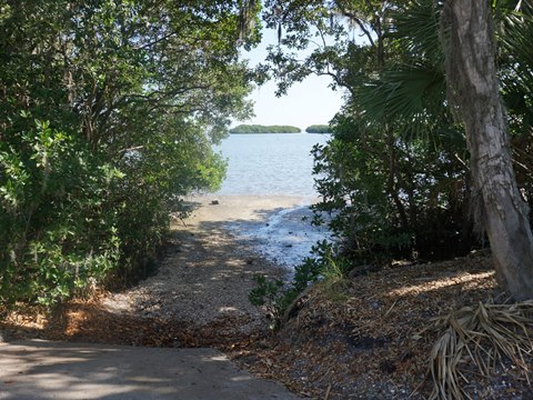
We found Cliff Stephens Park to be a pleasant ride. The park is an Alligator Creek water management area, with parking, picnic, walking path, fitness circuit, and disc golf course, plus boat ramp (electric motor or paddle only) and 4 fishing docks.
Coachman Ridge Park to Cliff Stephens Park
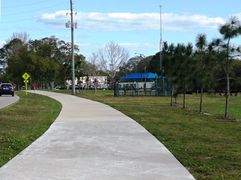
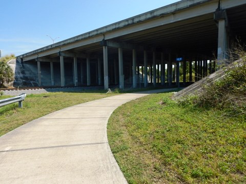
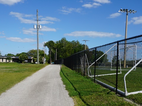
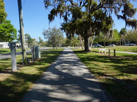
Cliff Stephens Park to MacMillan Booth Bridge (1.0 miles)
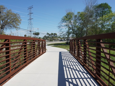
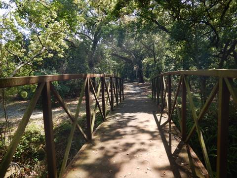
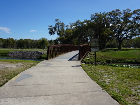
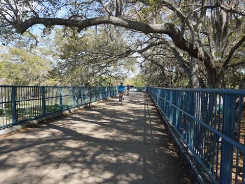
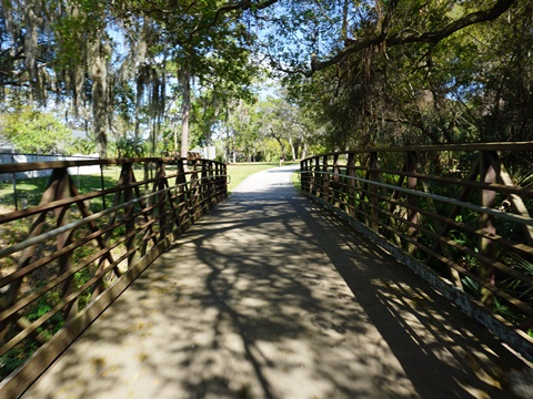
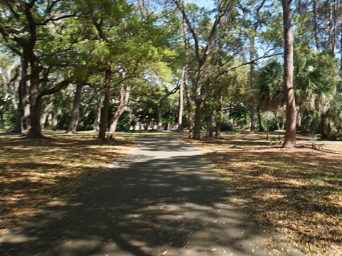
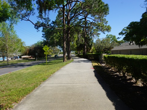
From Cliff Stephens Park the trail crosses Fairwood Ave. Go left to a parking area and link to Kapok Park (parking, picnic, loop trail, boardwalk, disk golf course), or right to continue on Ream Wilson Trail. Ream Wilson follows Fairwood Ave. for 300 feet, then turns at Brigadoon Drive, running first along Alligator Creek and then through a residential area. After meeting another spur to Kapok Park, the trail passes the Eddie C. Moore Softball Complex (parking, picnic, benches, concession, and restrooms). Shortly past the softball complex, a trail bridge spans busy Macmillan-Booth Road.
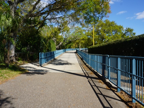
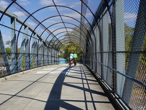
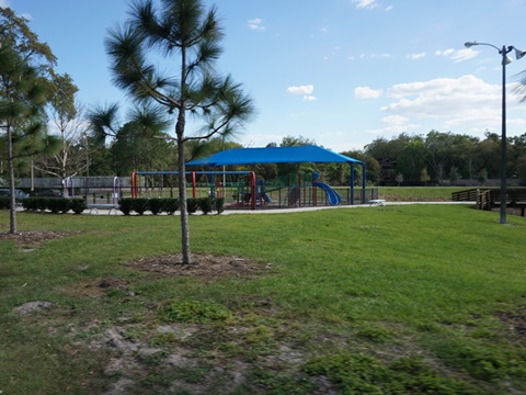
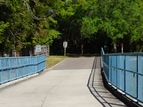
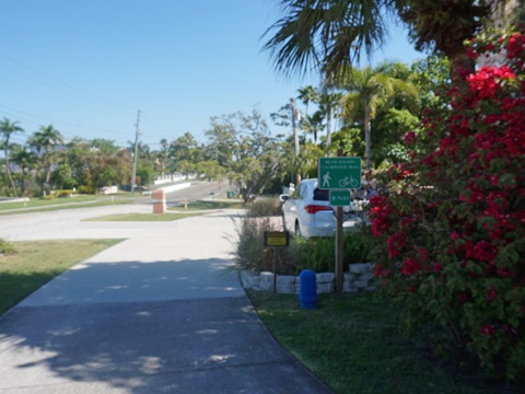
MacMillan Booth Bridge to N. Bayshore Blvd. (0.6 mile)
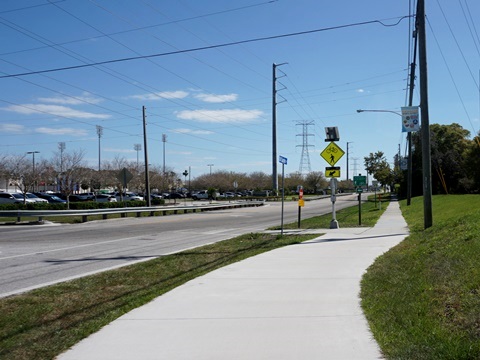
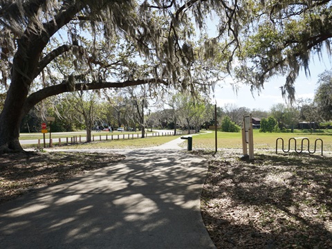
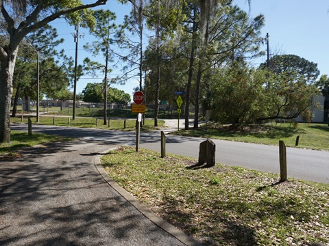
Across the bridge is Del Oro Park (parking, picnic, playground, tennis, basketball), then the trail runs through a pleasant residential area. Crossing N. Bayshore Blvd., Ream Wilson goes left (north) and Bayshore Trail goes right (south), connecting to Courtney-Campbell Trail.
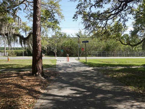
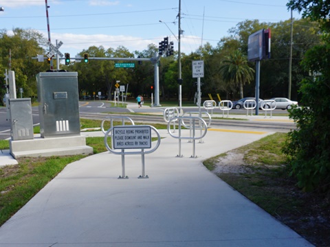
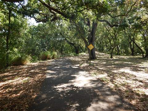
N. Bayshore Blvd. to Safety Harbor (0.8 miles)
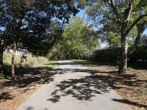
About 1/4 mile north along N. Bayshore Blvd. is Cooper's Bayou Park (parking, walking paths, fishing, kayak/canoe launch, and a fitness course). Past the park, the trail continues roadside with one road crossing, ending at Arlie Ave. at the Clearwater-Safety Harbor city limits. Here it connects over a canal to the Safety Harbor Bike Trail (aka Bayshore Linear Greenway), which runs about 2 miles to Philippe Park.
More Information and Resources
Nearby Biking:
Bayshore Trail
Courtney Campbell Trail
Druid Road Trail
Duke Energy Trail
Pinellas Trail
Safety Harbor Bike Trail
West FL Region - More trails
plus Regional Overview map
Related Resources:
Find Trails by FL Region or Listed A - Z

100FloridaTrails.com... 100+ Florida Multi-use Bike Trails, Best for Safe, Fun Recreation and Fitness
Other Websites:
BikeOrlando.net
PaddleFlorida.net
BikeTripper.net
Copyright © 100FloridaTrails.com. All Rights Reserved.